El Calafate Argentina

El Calafate Argentina

Moreno glacier  
Moreno glacier  

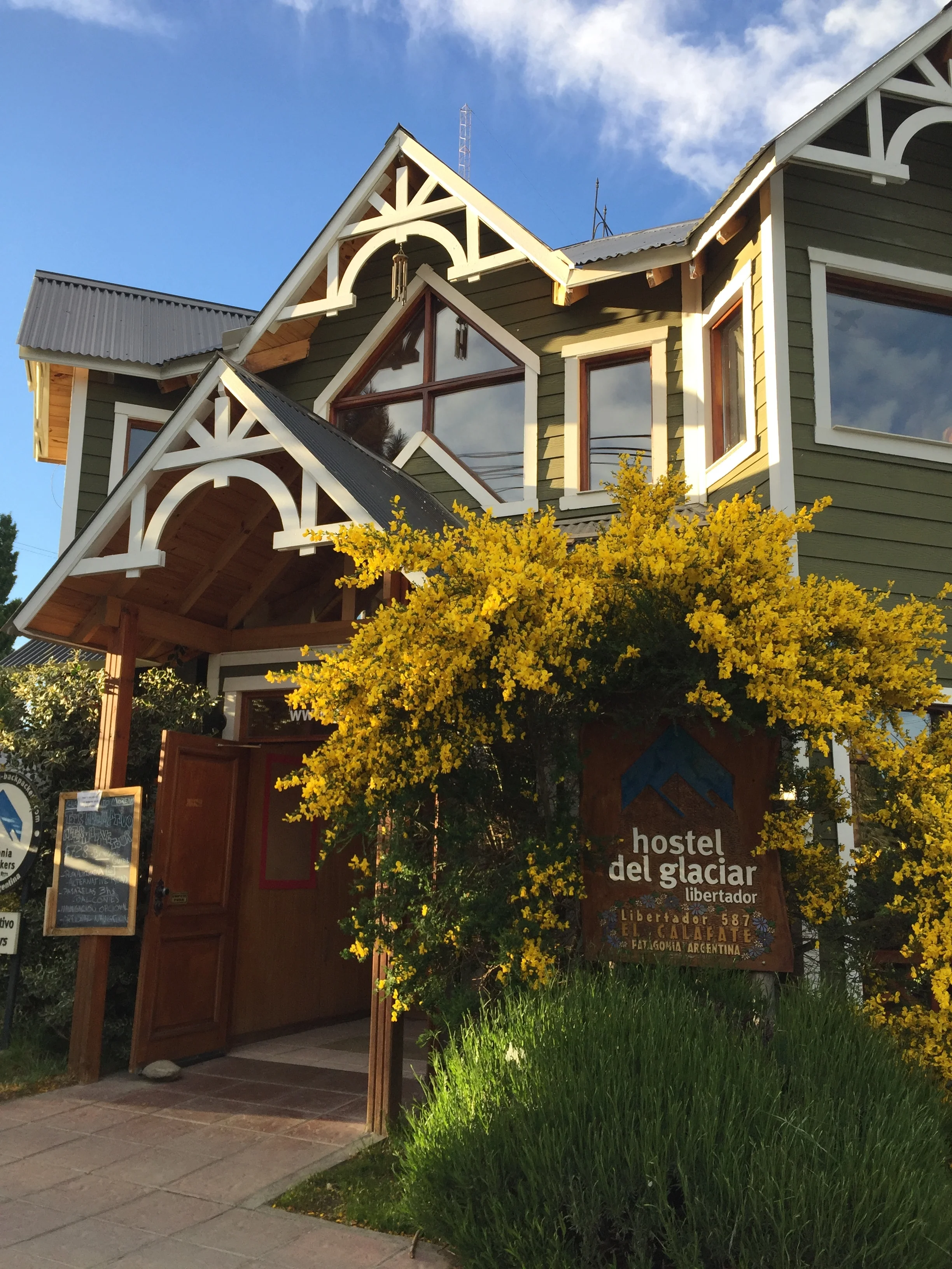
Our hostel

Our hostel

Time to move to the colder south toward the Straits of Magellan. Next stop is El Calafate, named for some ugly bush that survives the harsh climate . We forego the 30 hour bus trip and for a measly extra $100 we take a 2 hour flight, land, pick up a cheap collective with 8 others, and arrive at our Del Glacier Libertador Hotel. Very nice, with heated floors and separate bath and shower.  We get breakfast and also have kitchen privileges. What is really great is that we book our tours through the hotel. We also try to book bus trips, but that requires a walk to the local bus station and a 2 hour wait to order up. Our plans are somewhat complex as we had 3 separate bus legs to get to other cities and sites we want. The clerk is really pretty efficient in telling us off the top of his head what buses and time, and routes are available. It is just the computer entries and ticket printing where the system slows down. Then, of course, he says this is the cash price, no credit card. So the cash we had painstakingly acquired with numerous visit to ATMs was cut into substantially. In these far out sites where cash is king we are always worried that the ATMs are dry, but really, the bus station rejects credit too. 

The Estancia out building

The Estancia out building

The Estancia  

The Estancia  

We get picked up at 8 am for a trip to the Glacier Perito Moreno. Our trip starts by traveling the back roads to see the countryside up close and several “Estancia”, at least the entrances as these great estates are up to 100,000 square Hectares, that is 368 sq. Miles. They have cattle and sheep, and horses. We stopped at an outbuilding that had been turned into café museum, with interesting displays of the predators in the area. Janet tried to play a bar game, swing the ring. The view was of a rugged landscape. This area is where the Goucho culture was active. We think of these latin cowboys as glamorous, but according to our guide they were often underpaid and when they rose up in protest the government stepped in to protect the land owners, blood shed did ensue. 
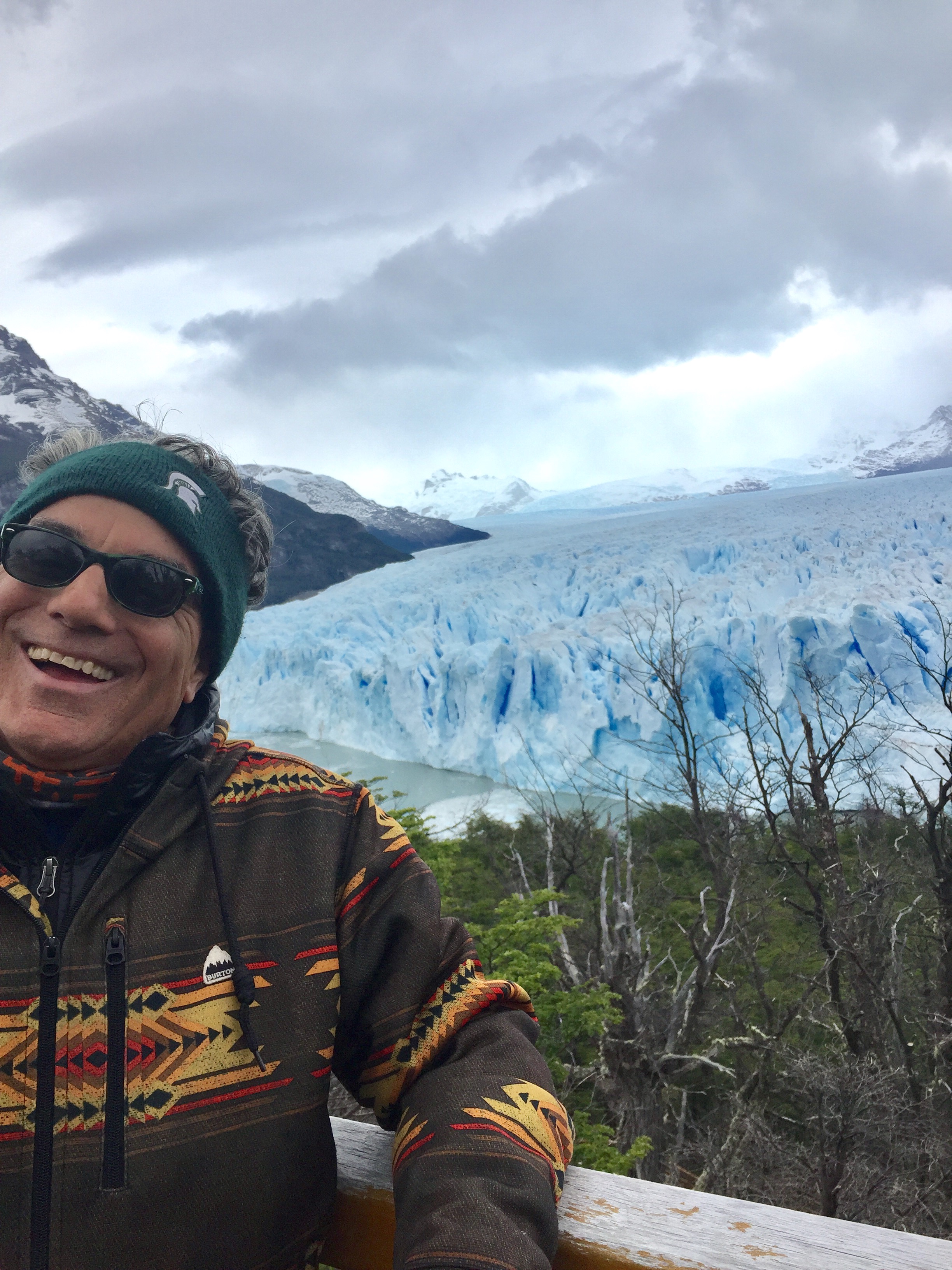
 

Frank's reaction to calving  

Frank's reaction to calving  

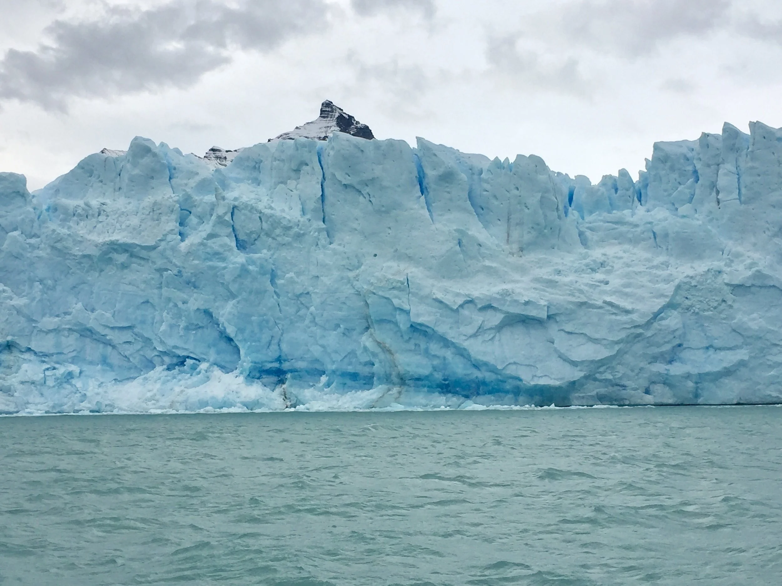
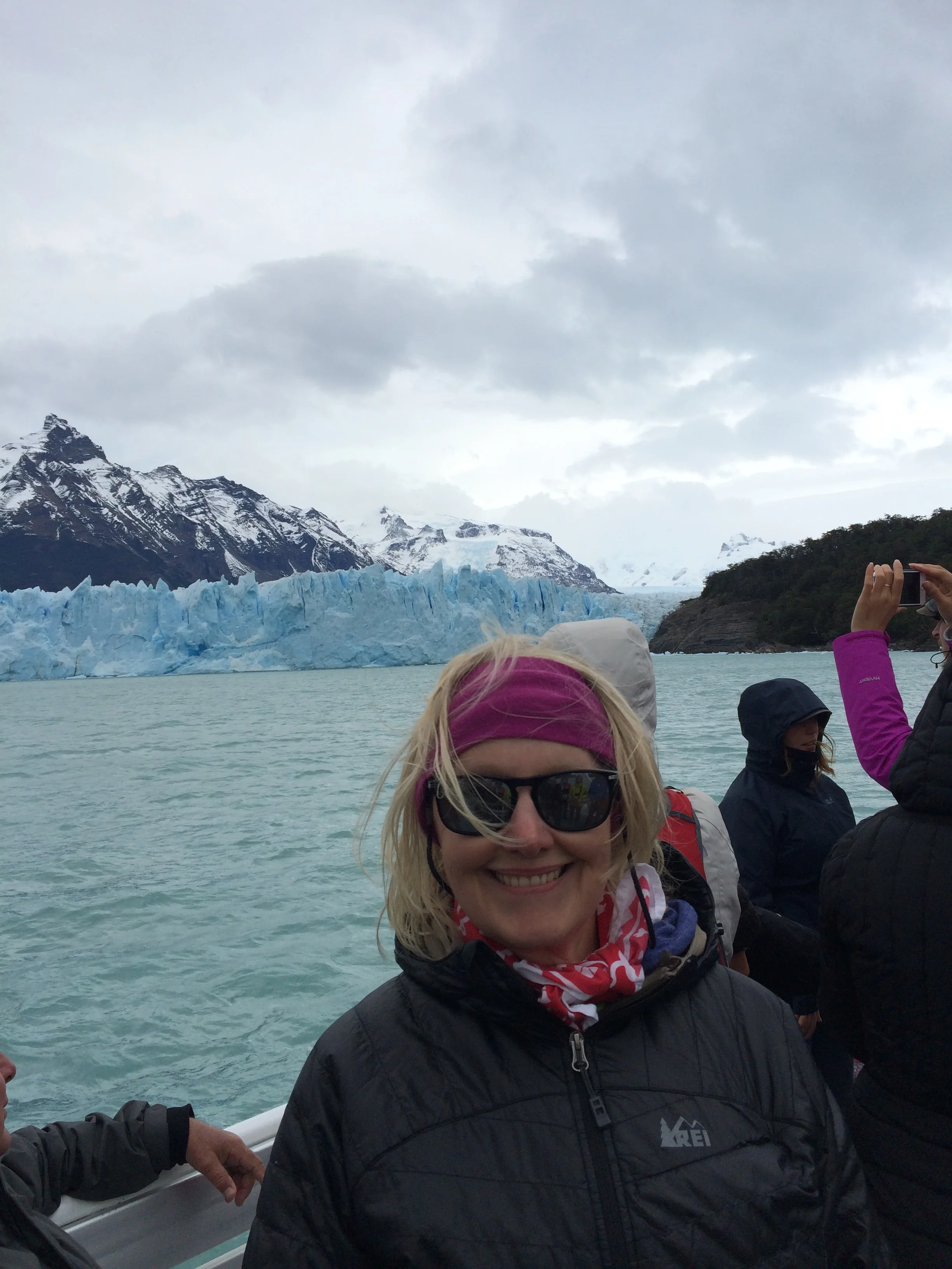
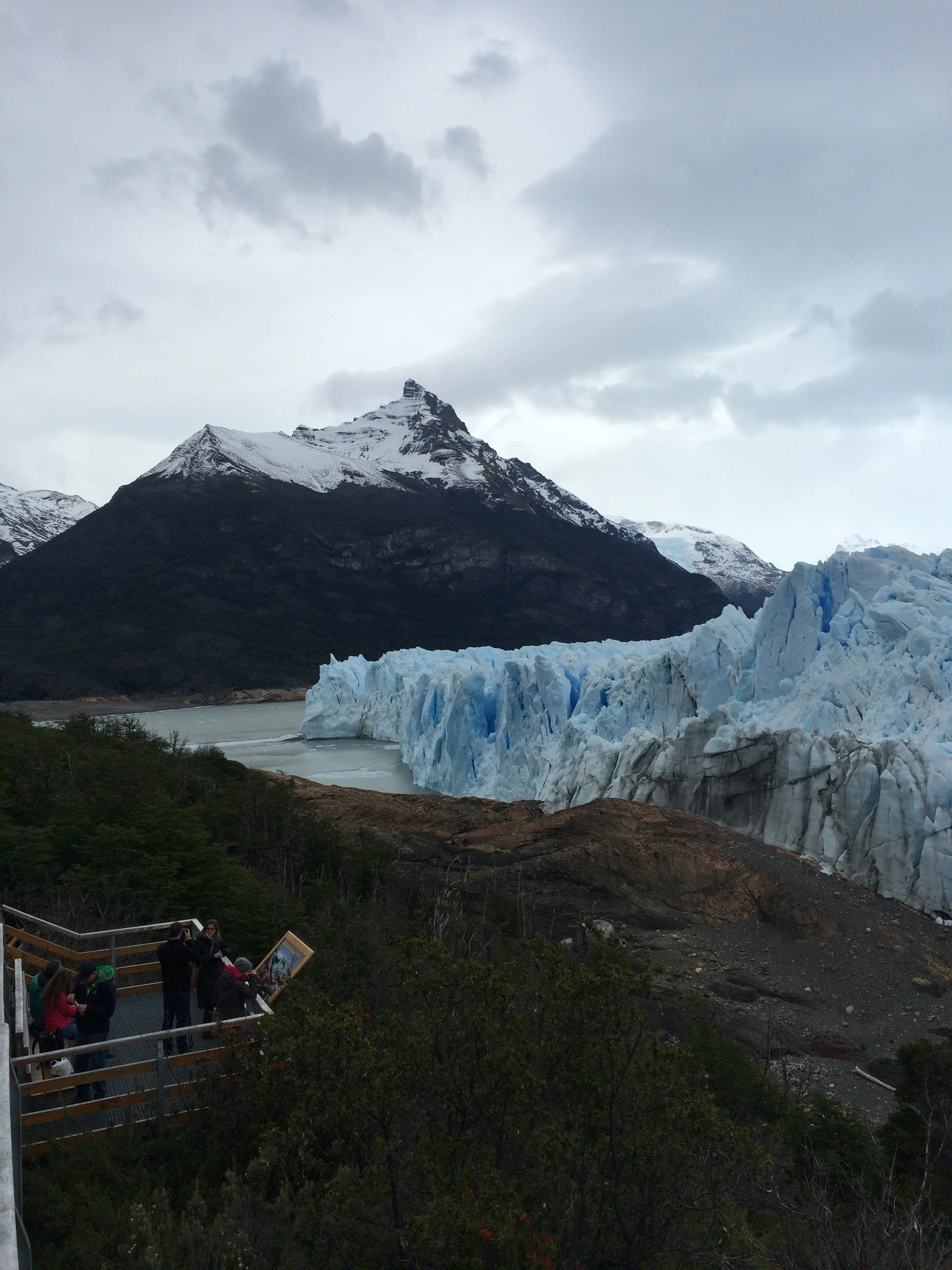
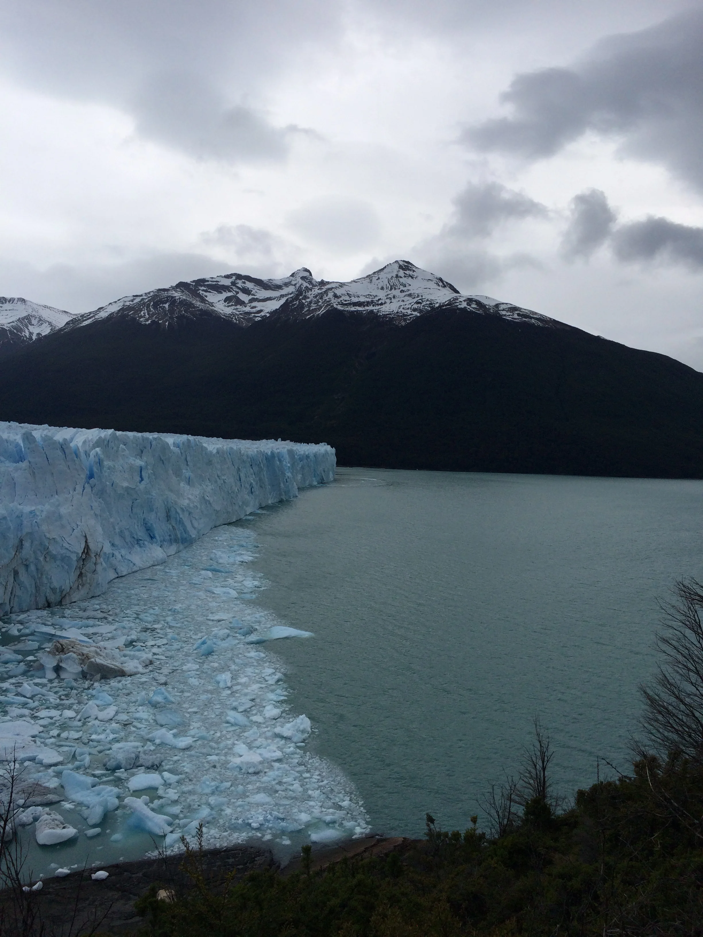
We arrive at Glacier Perito Moreno, which is in the Parque Nacional Los Glaciares. This is a spectacular natural phenominum.  We can't believe we are here. The glacier is the third largest in the Southern Pantagonia ice field. The total southern ice field area is about 750 km2, or 290 sq. miles, and blocks the Brazo Rico Sur channel and the Brazo Upsala Norte channel of Lake Argentina. In my layman terms, the ice does not freeze on top of the water. Rather, the snow that continuously falls on the frigid surrounding mountains does not melt but compresses due to extreme weight and over centuries pushed down the mountain side into the water as a solid wall taking gravel, rocks,and soil with it.  Here, the glacier is about 40 to 50 meters above the water line and 70 meters below the water. This glacier does not recede and in fact has been growing outward. The glacier face is 5 km long.  We decide to take a boat onto the river and cruise close in on the glacier face. It is a massive wall with spires at the top in some areas, like Superman’s Fortress of Solitude, or John Snow’s Wall. It has a blue hue or shadow. The water is milky blue which our guide says is due to the sediment ground up and pushed by the ice, like swirling salt in water. As we all watch in silence, you can hear the sound of shotguns in the distance. The ice is moving and cracking. We where lucky, as right near us a wall of ice broke off and slide into the water. The cracking, shotgun sound came a moment later. This piece of ice is the size of a ranch house. A fellow viewer commented that was worth the cost of the boat. I responded “How many people in the world have just seen what we have.”     


At the site hanging around watching the blueish colored Glacier and waiting for the next great “calving” or watching the condors float above is really breathtaking. We then hiked the walkway on the peninsula across from the glacier face and around its side. Stopping for lunch we were again treated to another calving and our little group cried out in glee. Once the ice break submerges we noticed that a circular pattern of ice bergs flowed to the top. That could be expected, but what was surprising was that the circular pattern did not grow outward, but on this day stayed in place. We walked to the side of the Glacier, where snow touched rock. As we walked we could hear more shotgun crackles, but calving was not visible, as it may have been on the other waterside. We heard at least 8 shotgun crackles. Lucky Janet saw a 3rd calving while I was photographing in a different direction. Some authors have called this process an existential experience. We must agree. Check out the photos..  
IMG_4114.JPG
A quick shot of ice breaking (calving) 

A quick shot of ice breaking (calving) 


Tomorrow we are leaving for another boat trip to see more Glaciers.

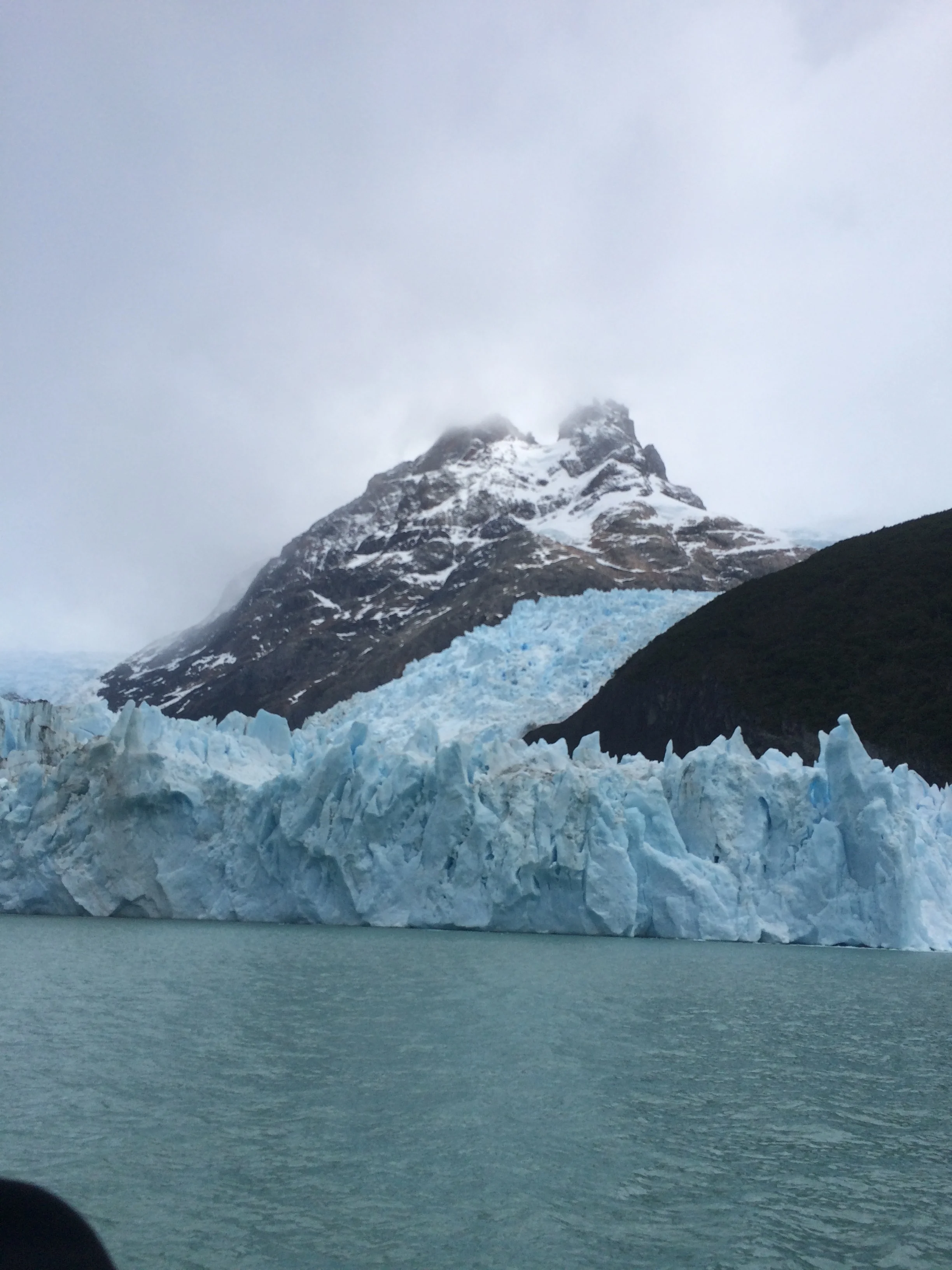
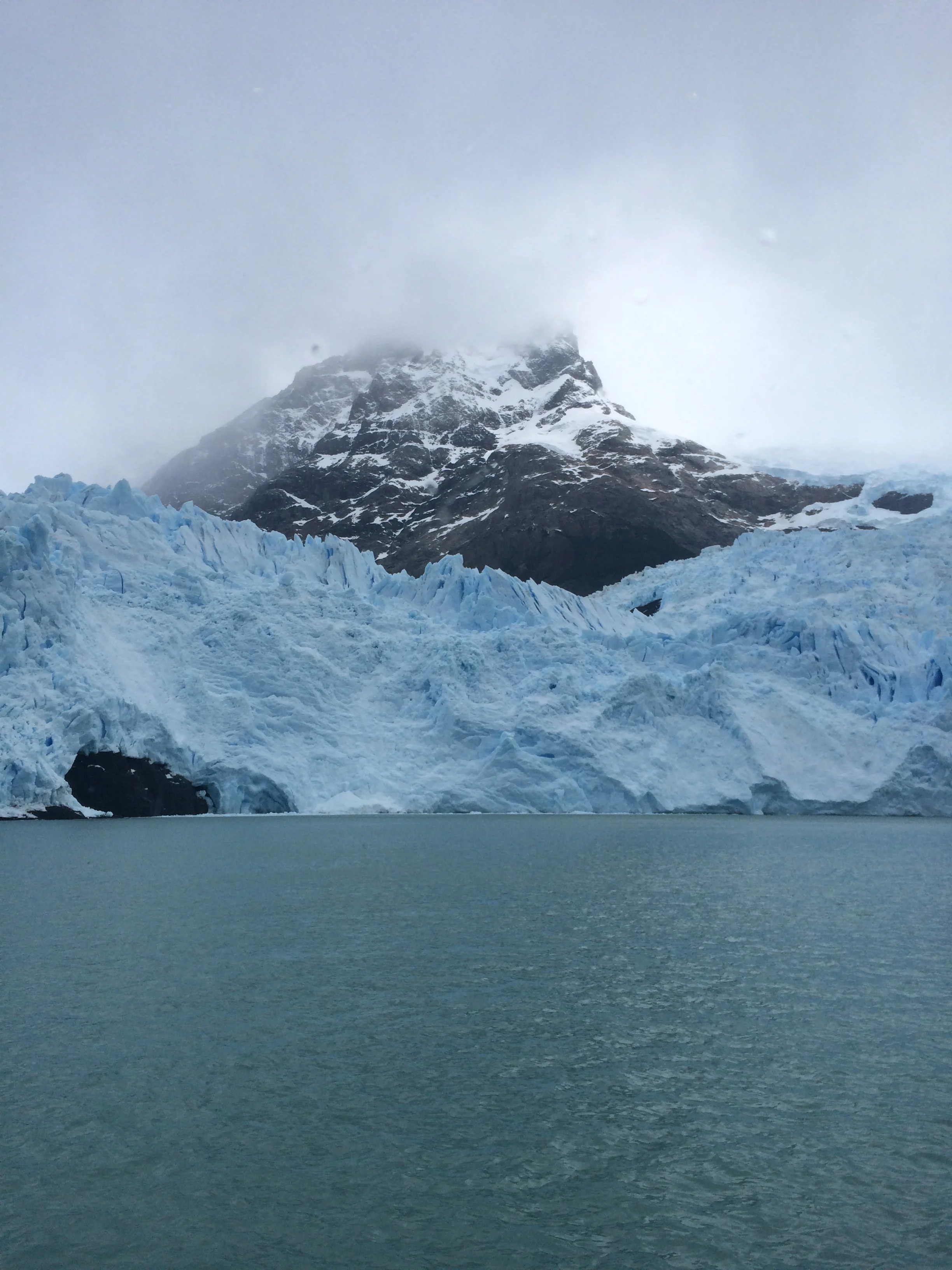
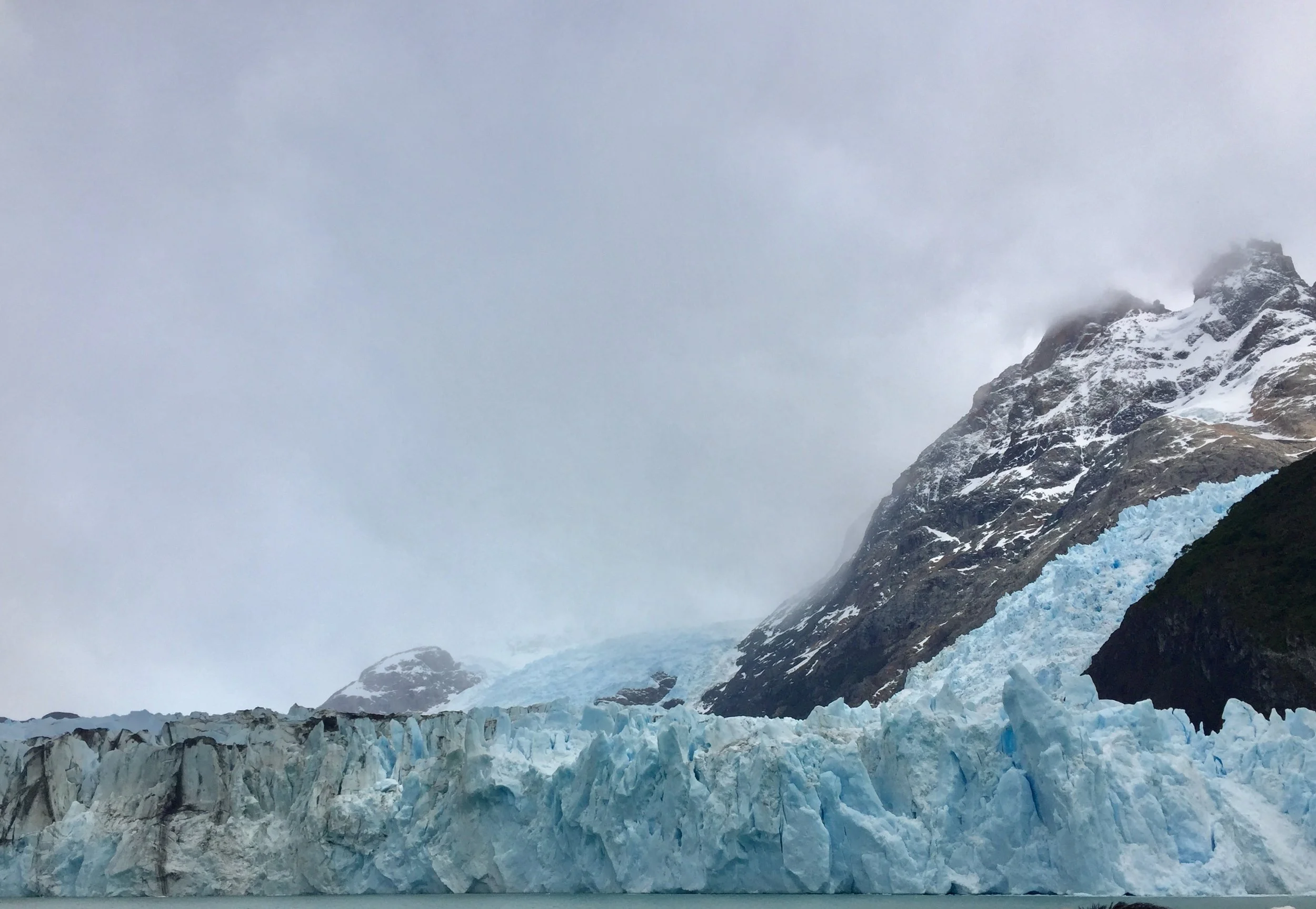
This trip is further away and takes us on the north side of Lake Argentina into the Brazo Upsala and                                                                                                                                                                                                                                                                                                                                                                                                                                                                                                                                                                                                                                            Brazo Norte waterway. Yesterday we were at the Brazo Rico Sur and walking on the Magallanes Peninsula which is closer to El Calafate. This excursion is different as we are placed on a double deck catamaran with twin 1400 horsepower engines that accommodates 100s of people for a total 6 hour trip. As we leave the port we are again moving in the milky blue green water. The ship is moving fast in open water until we approach the Diablo del Inferno passage between two small peninsulas. Here is where we see our first icebergs. These have broken off from the glaciers and seem to be stationary. At one point we approach a giant Iceberg the size of two 4 bedroom colonial homes in Livonia, MI. It has carved shapes. This iceberg is light whitish blue that clearly contrasts with the milky water it sits in.  We are close. As we know, most of its body is underwater but the guides say it can flip over with out warning. We continue in the straights and come upon our first glacier, where the snow has formed an upside down “V” moving around a stand of rock. On one side the glacier has formed a waterfront wall, on the other side the snow is flatter and smoothly rolls into the water. Not as impressive as Moreno, but very wide.
FullSizeRender.jpg

The next glacier we see is contained in the V of two mountains. It is interesting because the glacier has receded and the ground is black, no vegetation has returned, while close by the land is green.We saw another smaller glacier with the telltale black ground from receding.

The next glacier is the tallest glacier in Argentina at approximately 100 meters above the waterline. The lake is very deep here so this glacier does not touch bottom though it's underwater operation is still enormous. This Glacier has the spires just like Moreno. We were lucky enough to see one calving action, but the piece was not as large as yesterday's version.

Another glacier was very different in that it was high in the mountain creating its eventual pathway to the waters edge. When we finished it took a good 1 and ½ hours to get back to port. It was another stellar excursion. Again enjoy the photos.

The largest iceberg  
The largest iceberg  

IMG_4101.JPG
IMG_4214.JPG
IMG_4090.JPG
IMG_4245.JPG

Bariloche Argentina

 Bariloche Argentina

Patagonia is the mystical natural southern region of Argentina and Chile. There are windy, barren expanses and the spectacular Andes mountains, and much more we hope to find. Patagonia is thought to be named after the native Tehuelche’s moccasins, which make their feet appear huge. In Spanish “pata” means foot. Check out the documentary entitled “180 Degrees South”, either on Netflix or You Tube to see why we are excited.

We are up early being of course excited to go. Our first destination is Bariloche, Argentina. It is raining. We decide to put on full rain gear to walk to the bus station in Puerto Varas. We get on the bus but are unable to sight see as the windows are fogged and covered with raindrops. What we do see as we travel west to east toward Argentina are smaller mountain ranges of greenery that reminds us of Ecuador. Finally, we reach the Chilean border exit crossing which was a piece of cake this time, showed our passports and turned over our PDI form of entry and back on the bus. We reached the Argentinian entry border crossing and it took longer. We where the second bus and had to wait for its clearance. We all exited and presented our Passports. No problem. But then the authorities do a random search of luggage under the bus. Guess who gets selected. No not Frank, but Janet this time. Her luggage went through the X-ray and then it was searched as well.  Janet stood by with a grimace, but passed, and then repacked. The bus drivers tried to close the luggage compartment twice before Janet was done, but “Steady Eddy” stopped that nonsense.  Off we went, a bus with very happy campers.
Ps. Yeah, Frank got searched too, as he almost always is. While watching Janet’s luggage, a little too closely, an officer came up to Frank and asked if his luggage was in line to be scanned, or so Frank thought, actually the officer  directed him to put the backpack he was wearing into the scanner. But HA, they did not hand search it like Janet’s stuff.  

At the top

At the top

We arrived into Argentina without any AR Pesos. Luckily, kind of, the station has money changers, who trade Chilean pesos for AR pesos. The exchange rate plus was crazy high, but I guess they have to make a profit too. FYI, $1.00 US exchanges for $15.25 ARS, compared to Chile where $1.00 US exchanges for $666.18 Chile Pesos, compared to Peru which is $1.00 US for $3.40 Sols. Finally, note that Ecuador once used Sucre exchanged as $1.00 US for $25,339.20 Sucre. That is why Ecuador now uses US dollar bills. We got our money, we got our bus card and traveled the several blocks to the new hostel, aka Home Hostel. It is very large and we have a nice room with bath, only shared with one other room, the occupants of which we have not seen but only heard. We stayed in and used the kitchen to cook dinner.

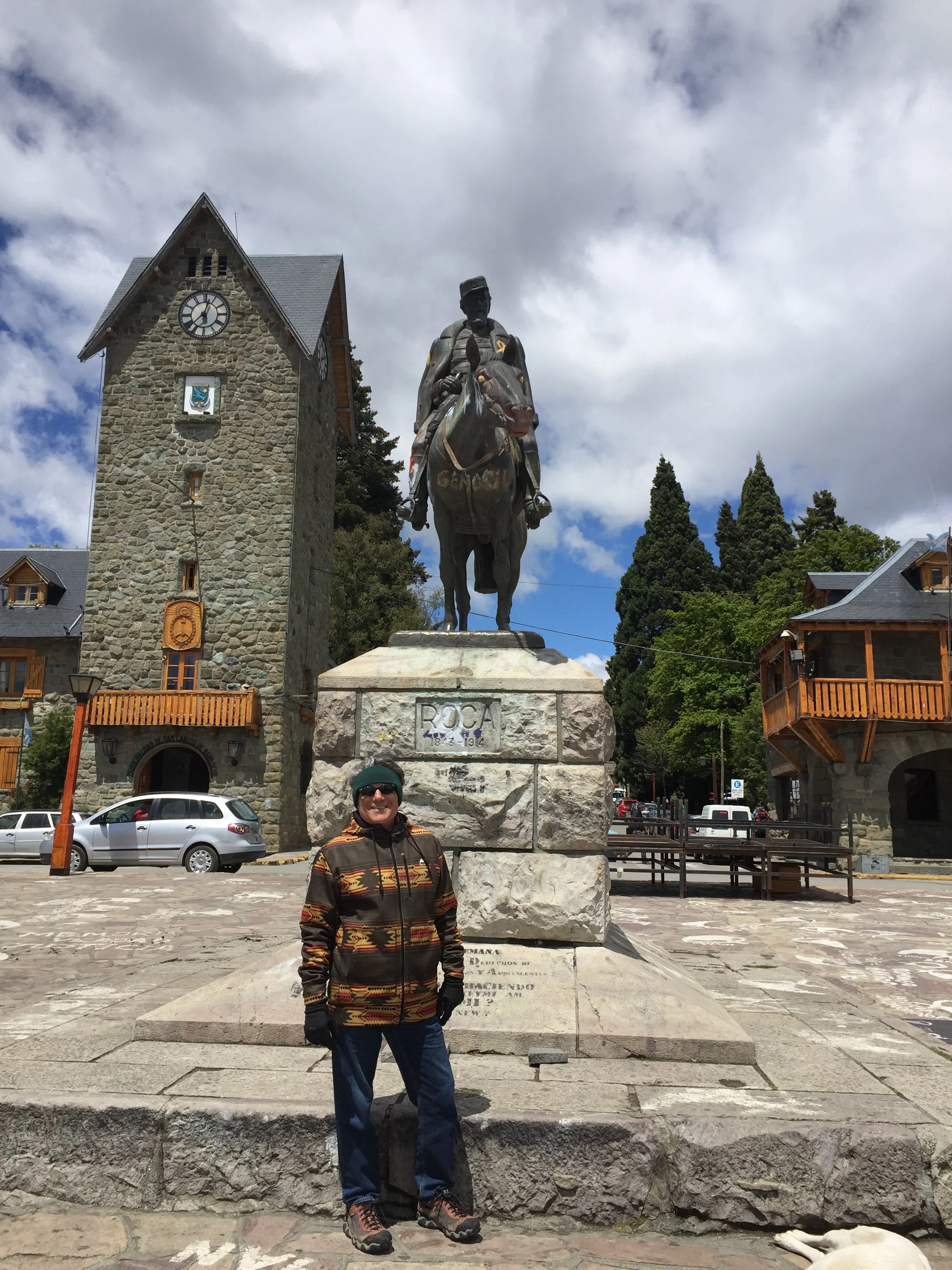
Frank in the town square

Frank in the town square

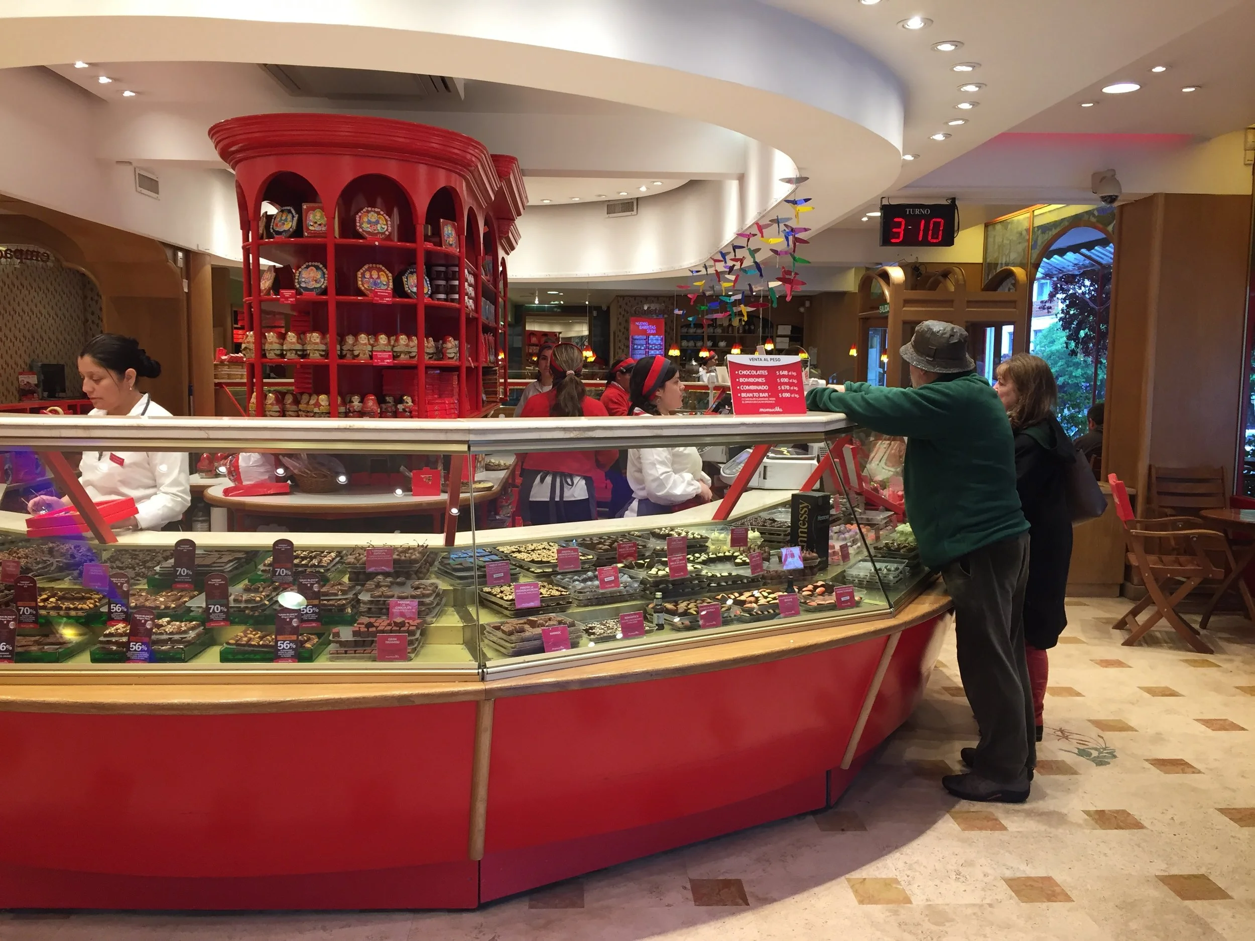
The next day, its raining In the city of Bariloche. We put on our full rainwear and hit the streets with our “to do” list. Get more money, get airplane tickets, purchase a tour, get maps, go grocery shopping, try and fail to get a new Argentina phone chip with another carrier called Movistar, eat some Chocolates of which the city of Bariloche is famous, an industry that started in 1930’s,  and do a little souvenir shopping. Tonight we will have Argentina beef with our new Australian friend Julian who we met in Puerto Varas. Finally it stops raining and the sun breaks out, but it is still windy and cold. The city has a heavy Bavarian influence as the AR government invited Germans, Austrians, French, and Italians to immigrate from Europe in the early 1900’s.

One of the many chocolate shops

One of the many chocolate shops

Coming down the mountain  

Coming down the mountain  

We go to Alto El Fuego, a fancy pants restaurant right at 8.00, when it opened but it is small and booked. We reserve for the next night and take a few short steps before we go back and Janet talks to the host to get a recommendation for an Italian restaurant, another fine cuisine of Argentina. Well, he must have liked Janet because he tells her to wait for 15 minutes in case of no shows. We got a very nice table and ordered the famous “Bife de chorizo”, or thick sirloin, and also “parrilla”, or filla Mignonette. We topped it off with a bottle of AR Malbec wine, and some “chimichurri”, a spicy sauce of garlic,parsley and olive oil. Good conversation and a really nice time. Maybe Julian, who is a new teacher, will visit us some day, we invited him. Ps. Here is a reach out to Stephanie and Hendrik of Austria, we invite you guys too, and Emma and Hazel of NZ/UK.

Argentian steak dinner

Argentian steak dinner

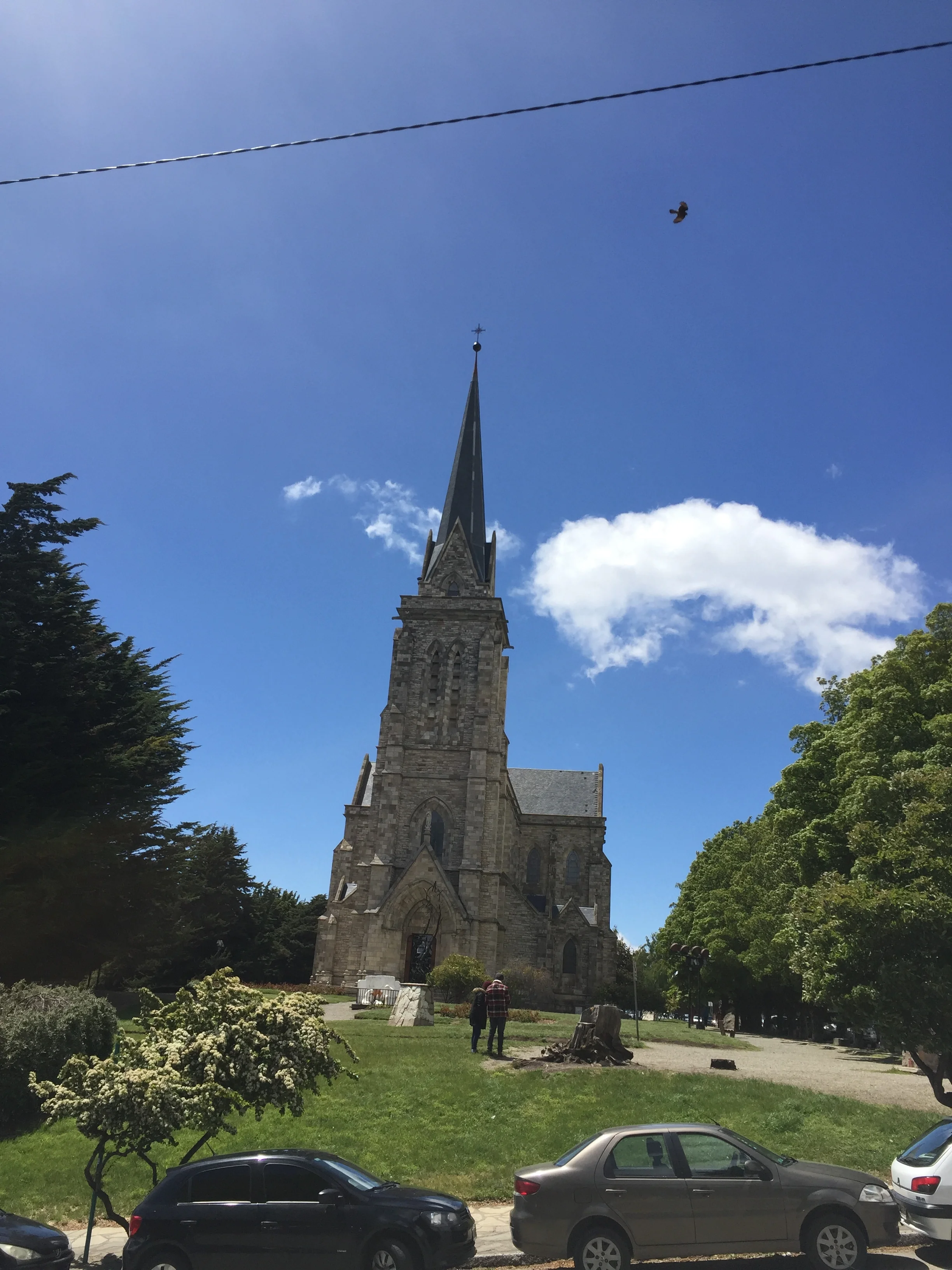
The cathedral   

The cathedral   

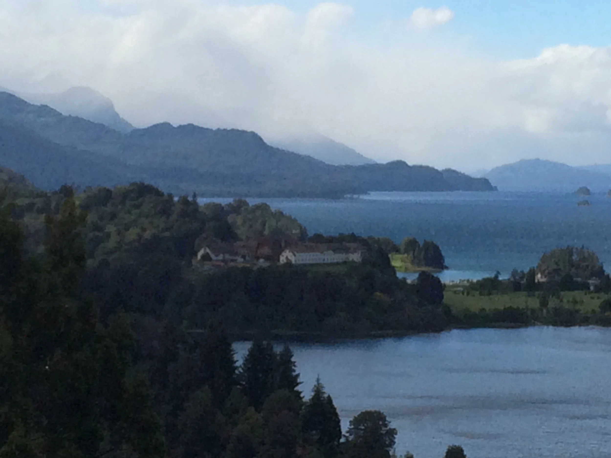
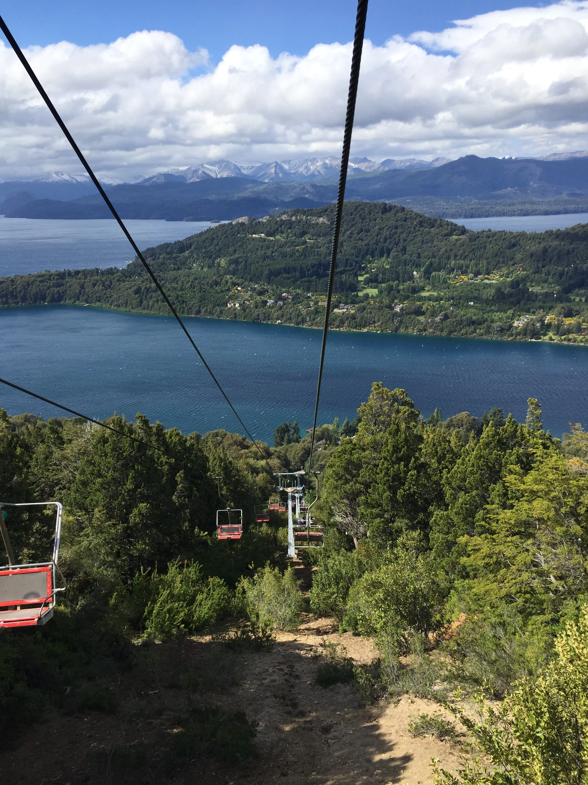
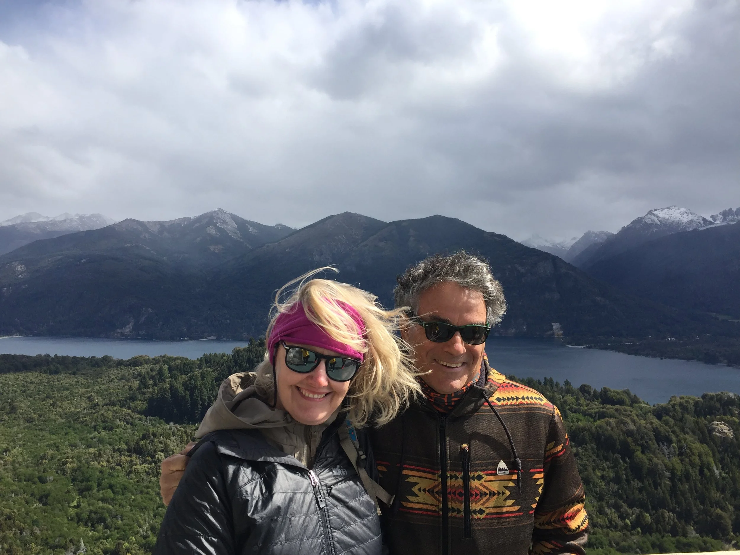
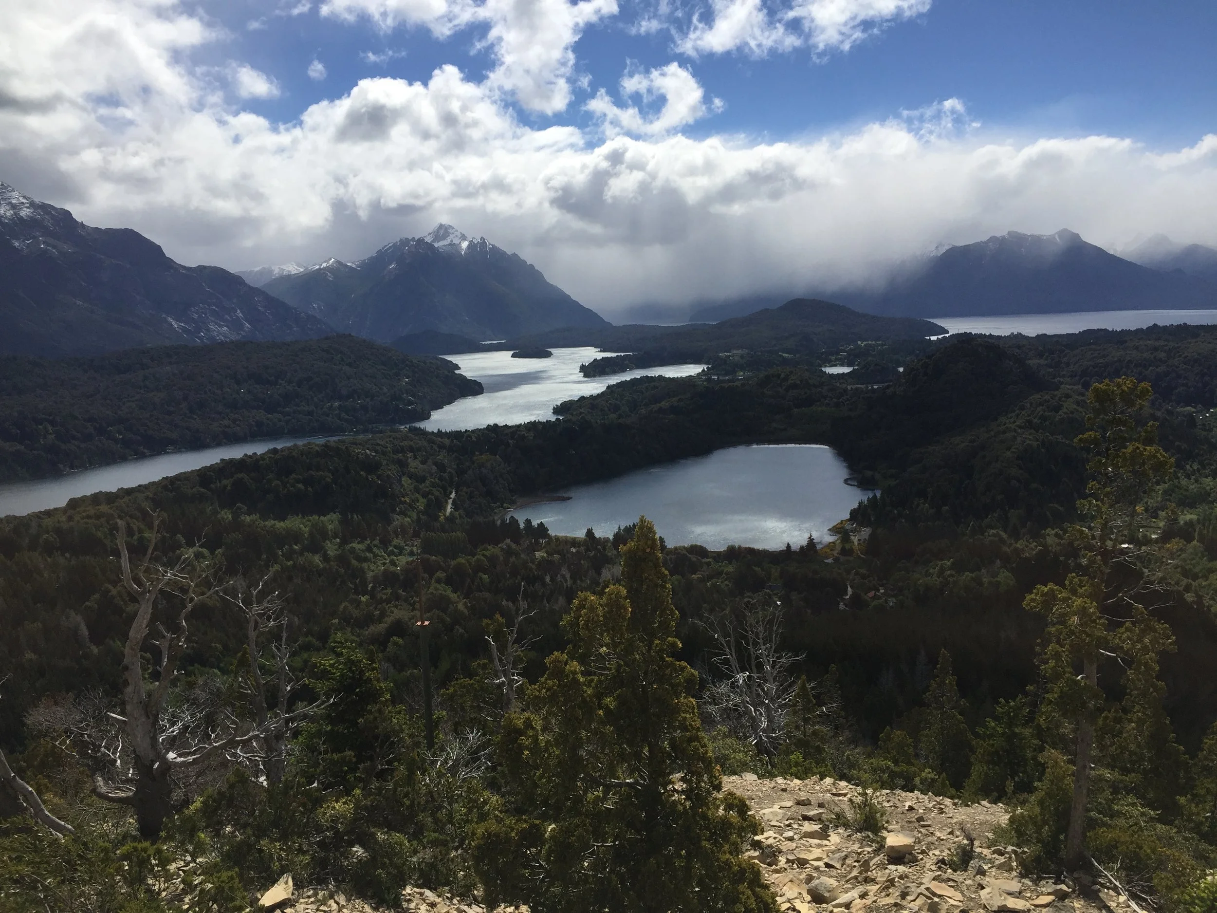
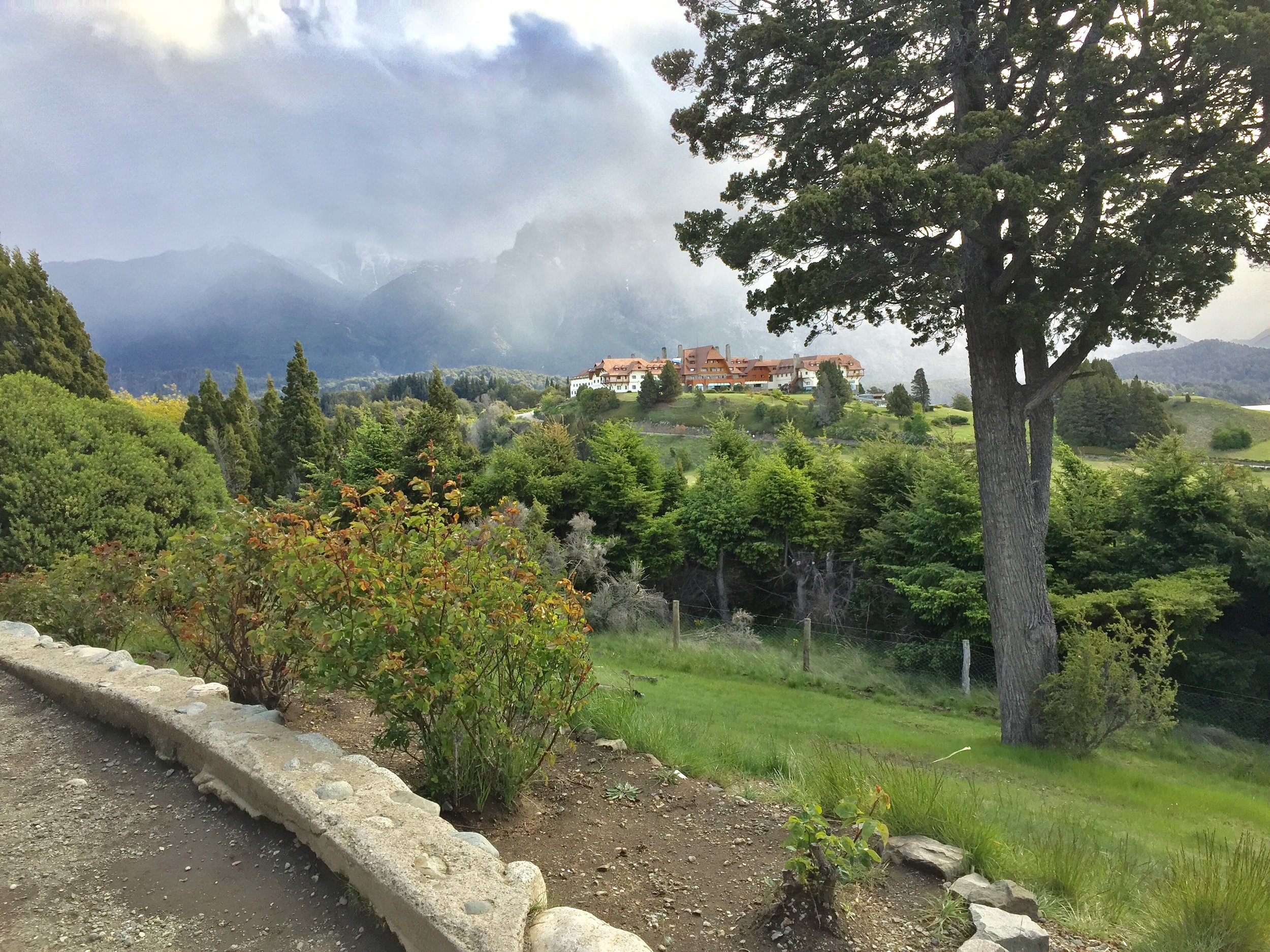
Finally, the weather is grand. We took the half day tour we sought for the past 2 days. Bariloche is the largest city in the Lake District of northern Patagonia. It is bordered by the Pargue National Park. For my buds back home, please note it has some of the world’s best fly fishing, with landlocked salmon and trout introduced by US and Canadian fisheries into Rio Negro. But it is also the world class skiing and mountain trekking that makes this place magnificent. As we rode a ski lift to one of the highest observation points it was clear how beautiful the surrounding mountains and interlocked lakes were. We also saw another wood church, this one more frontier style, and then we drive on a peninsula where a giant grand hotel sits on the lake which looks like the Grand Hotel of Mackinac Island, Michigan. Apparently President Obama stayed there on a diplomatic trip. Our view of Bariloche changed dramatically as we saw the outdoor sights. Before that we thought the central district  was just like Birmingham, Michigan. As well, we were told the AR nuclear technology labs are here. Nice place for scientists. FYI, AR supposedly spent $500 million on failed nuclear fusion development in the 1960’s.       

We hope you enjoy some of our photos.

At the top of the ski hill

At the top of the ski hill

Overlooking the lakes

Overlooking the lakes

The resort the President stayed this past March

The resort the President stayed this past March

Choloe’ Island

The ferry to the island

The ferry to the island

Chiloe' Island is the second largest Island in South American.  It is a 2 hour bus ride from Puerto Varas and only accessible by ferry.  The town we stayed in,  Castro is located in the center of this Long Island and was an additional 2 hours on the bus.

We got our tickets in advance for Choloe’ Island with the intent to see penguins, historic wood churches, and the national park along the coastline. We chose to take a bus then check the tour situation and decide if we should rent a car. I enjoyed driving on Easter Island, but I was not all that keen on driving on the highways of Chile. After arriving at the bus station we  dragged our stuff to the hostel. Surprise! Great hostel with the best internet and fanciest  bathroom we had experienced. The host was very helpful, albeit we had to use google translate, because my Spanish speaking  is bad.

Castro town square church  

Castro town square church  

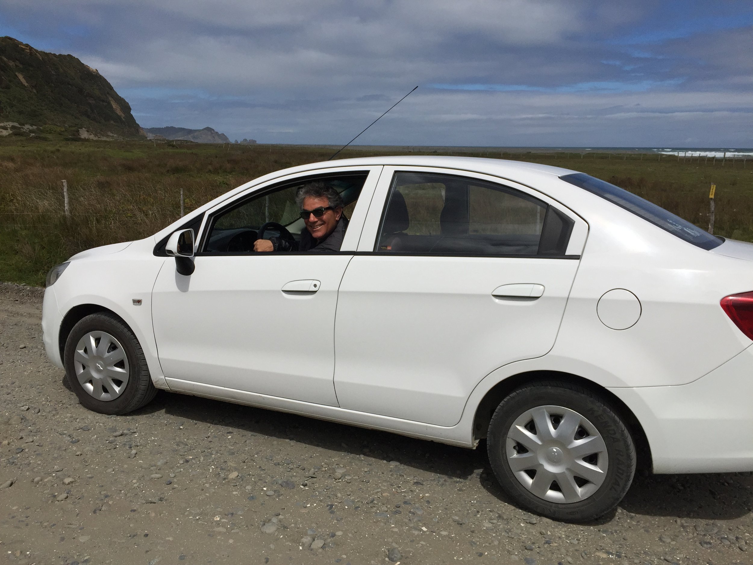
We went to a recognized tour operator to check on activities. After hearing his ideas & prices we decided renting a car and going it alone would be beneficial. Our host contacted his rental agent who delivered a Chevy with stick the next morning. We paid only $58 US for 24 hours.

The gravel rode to the site

The gravel rode to the site

Frank in the Chevy

Frank in the Chevy

I drove, Janet navigated, and we were off to the west coast of the island to the national park and a famous out of the way place called the Dock of Souls. It was a fun drive with winding roads, down shifting, up shifting, a little traffic. How fast is 100 km any way ? That was the limit the dealer imposed.

View of the Pacific Ocean

View of the Pacific Ocean


When we got to Pacific Ocean on the other side of the island the roadway went gravel. Here is where most buses stop and allow the hikers to hit the trail, but this is a 4 hour trek to and 4 hours back. With the car we could travel the kilometers needed to get close the real trailhead. The drive ran close along the coast of a lake similar to a Great Lake of Michigan, with sand, but also some grass for the numerous horses and cows that grazed along the roadside. At times, especially near the trailhead, the road got really potholed and coarse. 

The ticket office  

The ticket office  

We reached a point where the car was bottoming out too much. We decided to park the car at the side of the road just round the corner and trek to our destination, an artist impression of Dante’s “Dock of Souls”. This site is actually next to the National Park on private property so we had to stop and pay the property owner $1500 per person. He gave us a receipt and we were off and running. We had to show our receipt at several access points, all was good. The trek was very inspiring with views of beautiful green mountains and valleys. As we rose in elevation that is where the the rocky waterfront became visible, with high cliffs, crashing waves, and tiny islands, more like spires, piercing the turbulent water. Finally, as we came over the last hill, we saw the Bridge of Souls that was positioned in such a way that the vision was like a zero edge pool into the lake. It really was the best location with natural beauty galore.

The path to the site with a arrow marking the way

The path to the site with a arrow marking the way

Janet on the hike  

Janet on the hike  

Frank actually walked thIs gang plank, just to say he did. After a brief lunch sitting on the cliff, we headed back down the trail. To our surprise, 3 pieces of heavy construction road graders were now working on the road, only 3 hours too late for us. We reached our car and sat discussing our next trip. It was clear we had started a parking lot where others had decided not to wreck their cars. Another traveler startled us when she knocked on the car window for information. We opined you could get a little further up the road, but not to the the designated parking area due to the road work. They tried and came back before we left as did several other vehicles.


Frank on the Dock of Souls 

Frank on the Dock of Souls


As we rose in elevation that is where the the rocky waterfront became visible, with high cliffs, crashing waves, and tiny islands, more like spires, piercing the turbulent water. Finally, as we came over the last hill, we saw the Dock of Souls that was positioned in such a way that the vision was like a zero edge pool into the lake. It really was the best location with natural beauty galore.


IMG_2466.JPG

The tour guide told us that it was nesting time for the penguins off shore of Chiloe' Island, so most of the 4000 penguins could not be viewed. We decided instead to take a earlier bus and traded our tickets. We got back to one of our favorite towns that just happened to be having a waterfront fair. There as much activity in the streets and there was even a parade of young people participating in a theatric play wearing tree and animal costume. It was all fun to watch and reminded me of those similar fun events back in good ole’ Livonia.

One of the many wooden churches

One of the many wooden churches

The next morning we are off to Argentina and another border crossing.

Traditional fish stew

Traditional fish stew

IMG_3909.JPG

Puerto Varas Chile

We traveled from Easter Island to Santiago on a late flight traveling through the night. After all of our bus travels we have to admit that bus sleeping is more comfortable than air sleeping.  We spent one additional day in Santiago at a hostel with very kind owners who assisted in washing our clothes, trying to get the MacAir fixed (no luck) and letting us stay an extra 8 hours after checkout and finally driving us to the bus stop. Thank you Santiago Hostel Mery

We are now traveling south through Patagonia. We will spend 3 weeks in this region crossing the Argentina border several times. This part of the trip it is all about the outdoors, hiking and exploring some of the most remote and unique landscapes in the world.

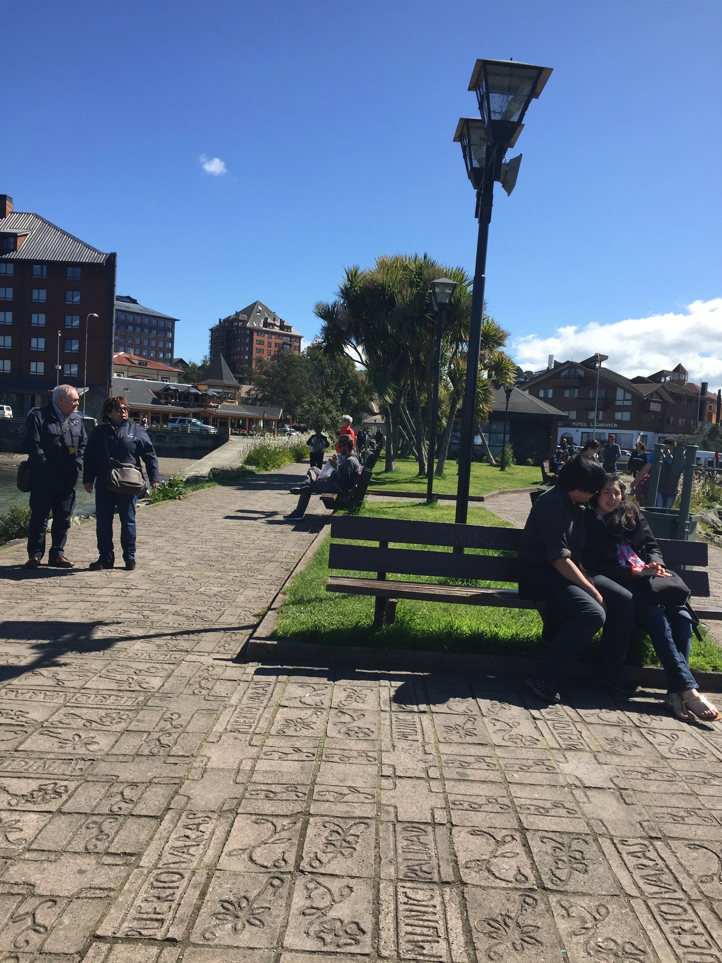
The town square

The town square

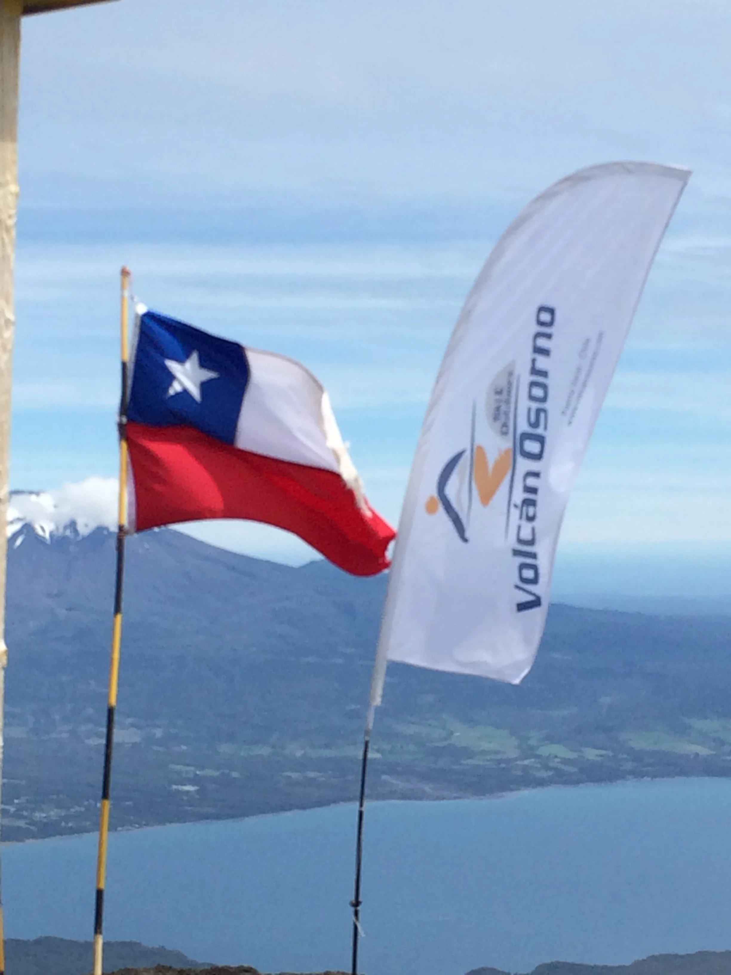
Our first stop is the small town of Puerto Varas in the Northern lake region of Patagonia.  This is a tourist town surrounded by a large lake and three volcanoes, one active with the last eruption just 2 years ago.  They ski here from July to October and it is a summer resort town for water sports, hiking and biking.  The town was settled by German immigrants and we can see the influence in the building and the cake shops on every corner.  We stayed at a true hostel and for the first time had a shared bathroom and common kitchen.


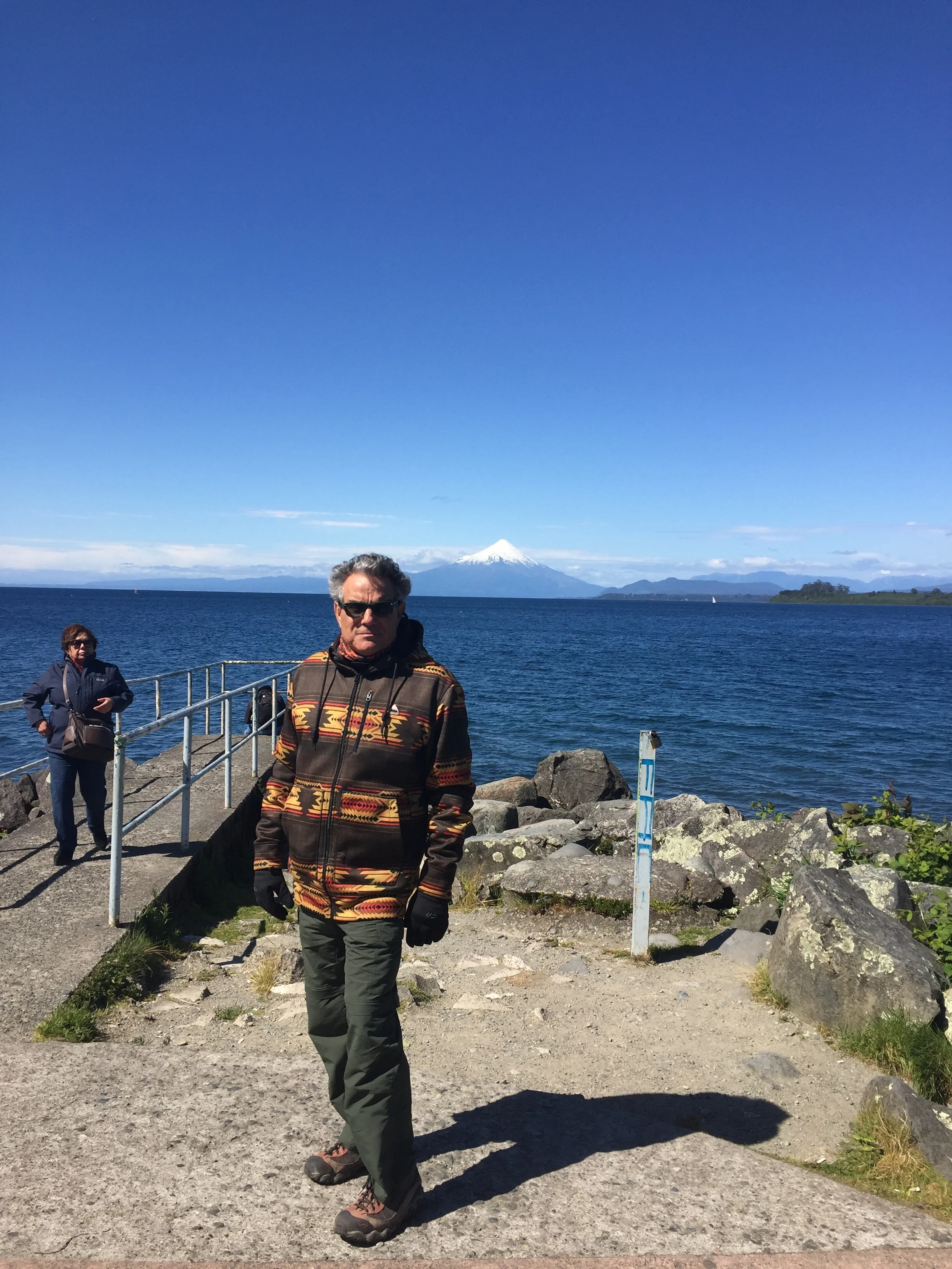
The view of the lake from the town square

The view of the lake from the town square

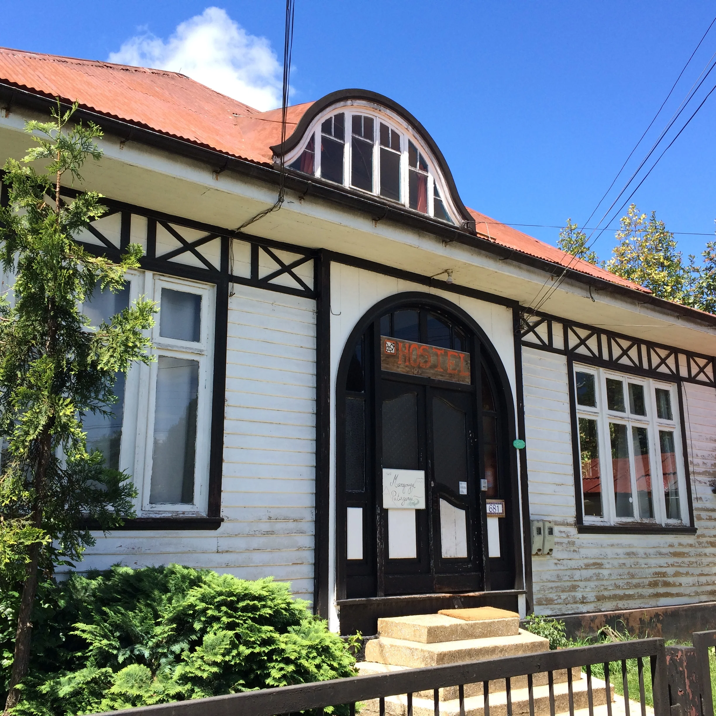
Our hostel  

Our hostel  

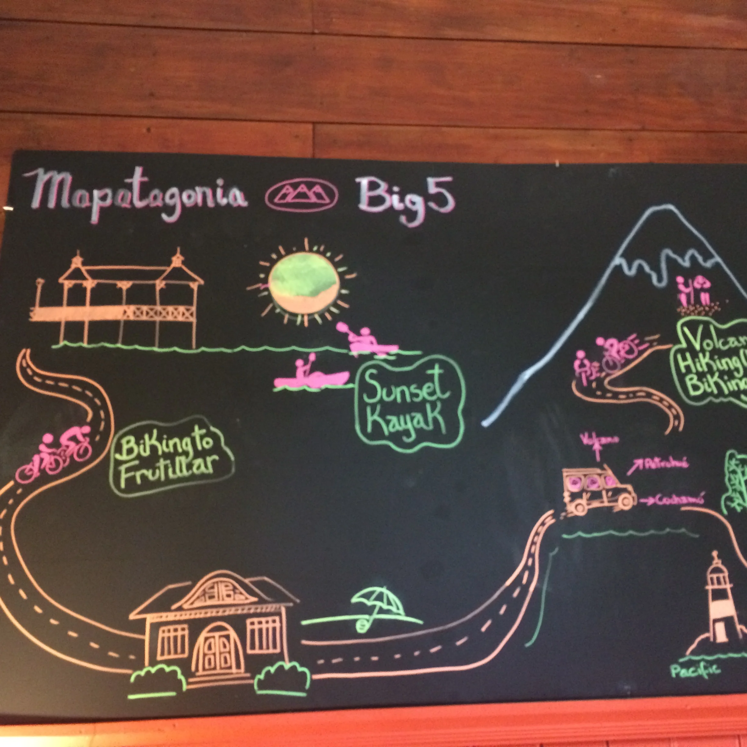
After a discussion with our wonderful host we signed up for an all day excursion up the volcano.  Our host assured us that the hike was easy enough and his tours leave late, 11:00 am he chuckled. 

The excursion board at the hostel

The excursion board at the hostel

The entrance to the trail

The entrance to the trail

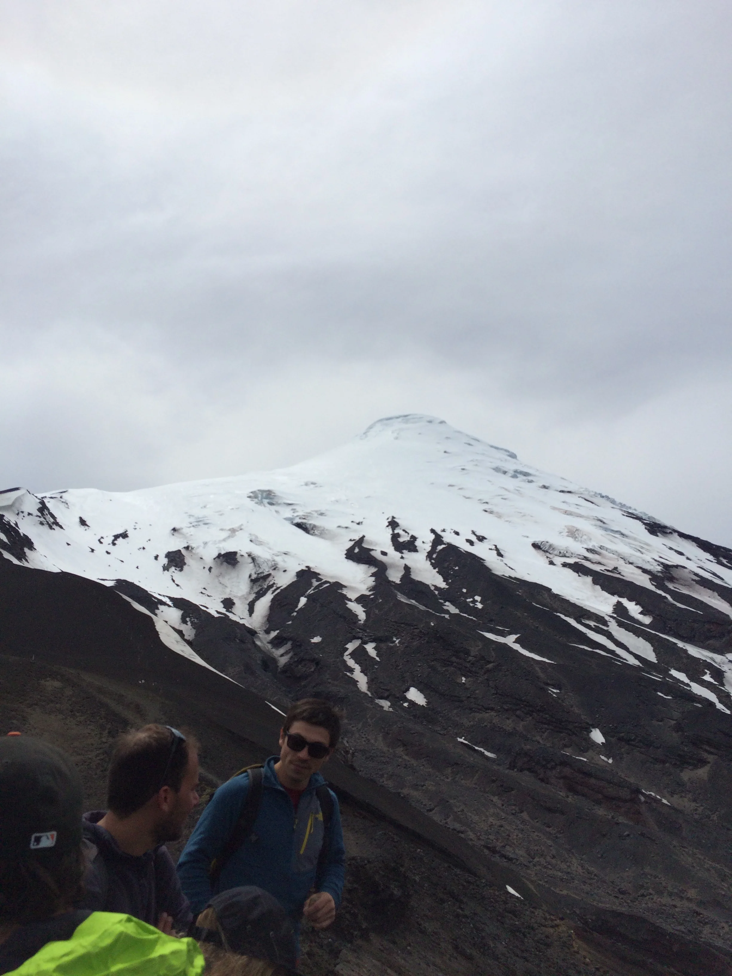
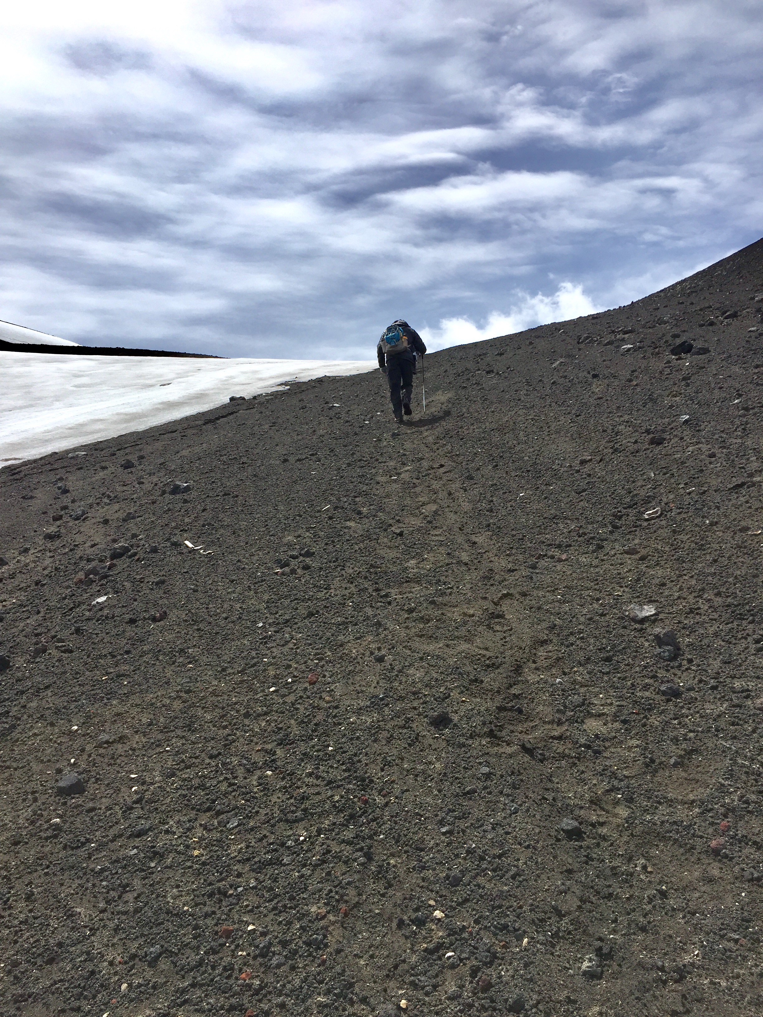
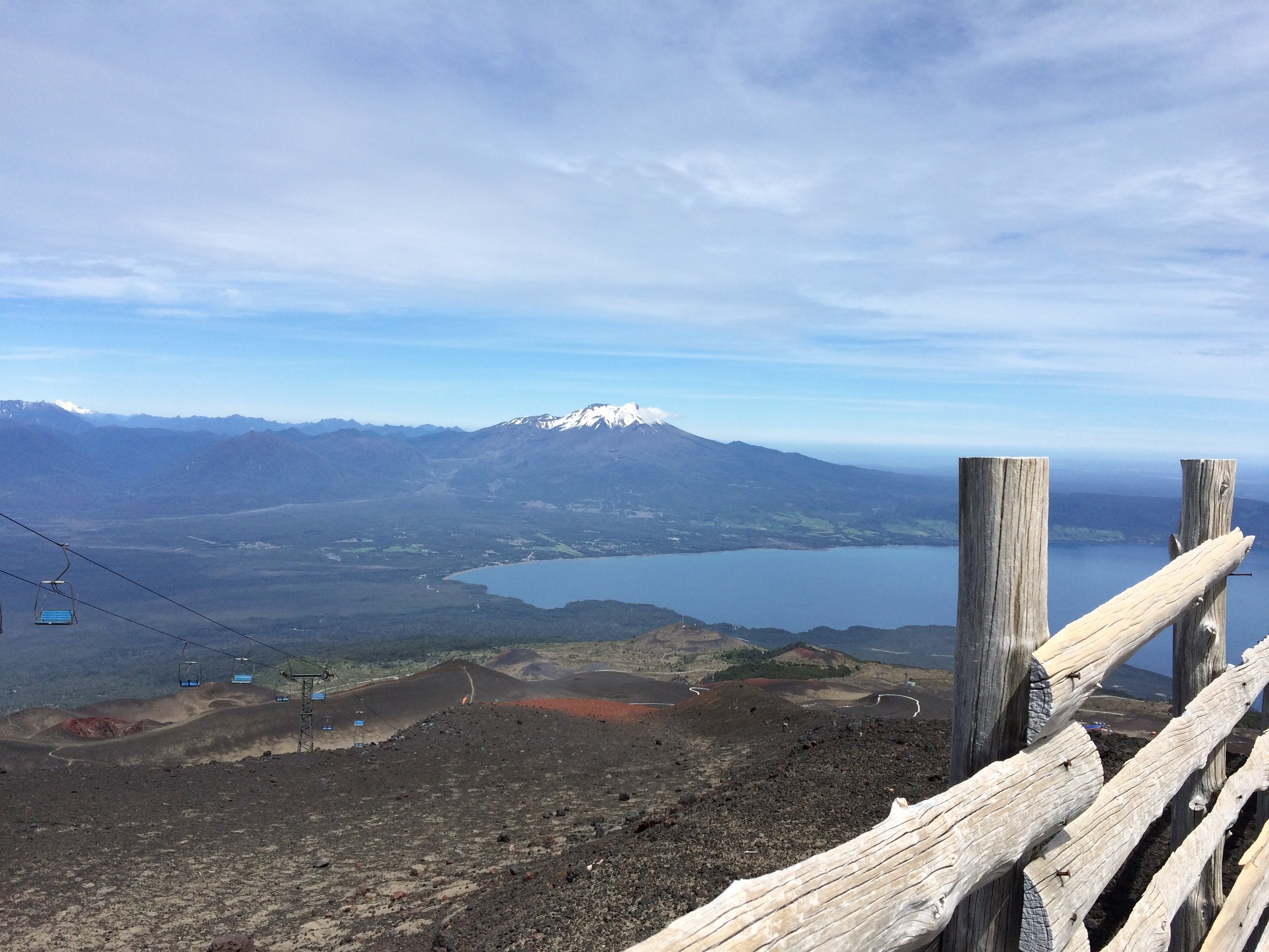
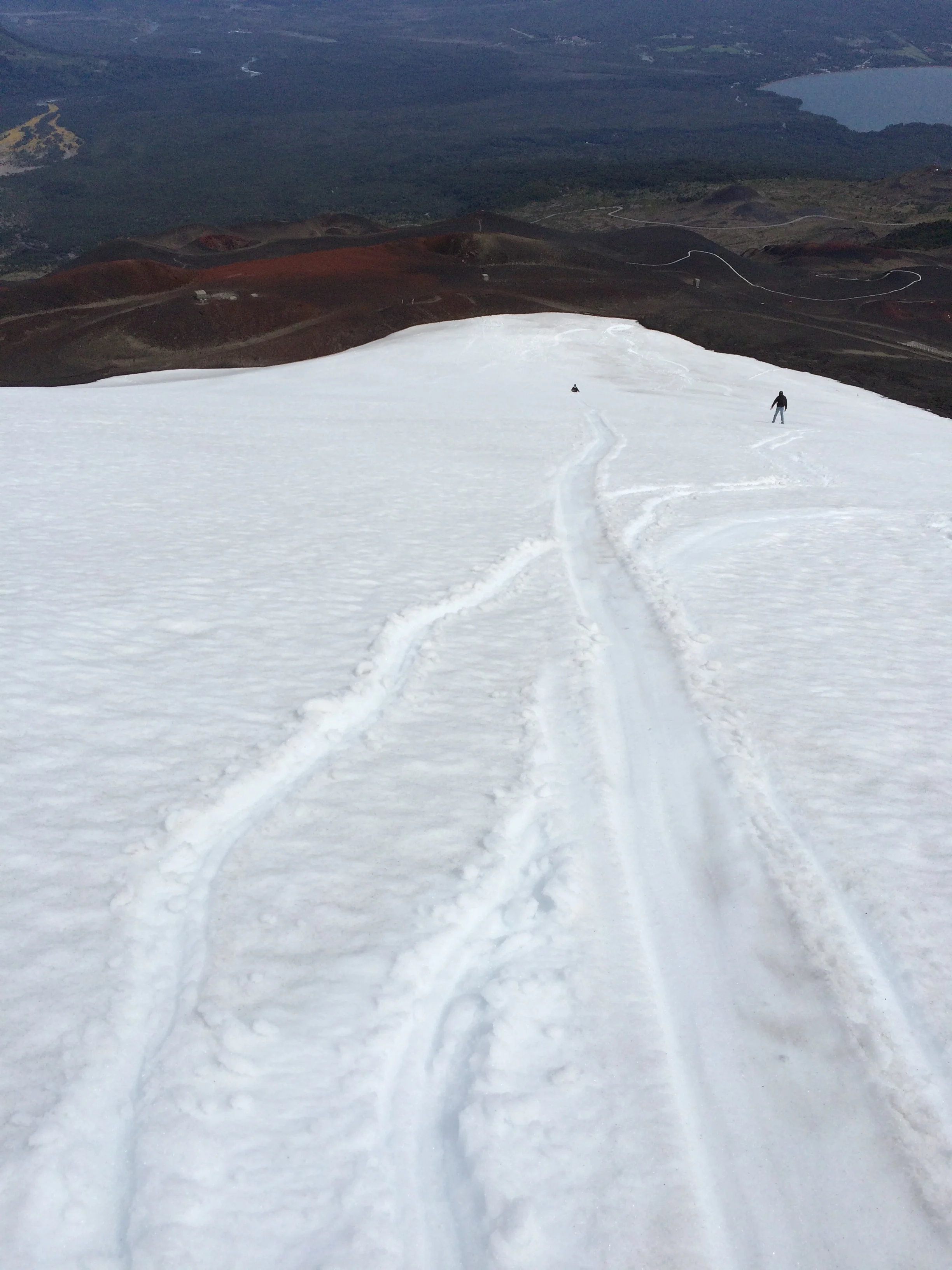
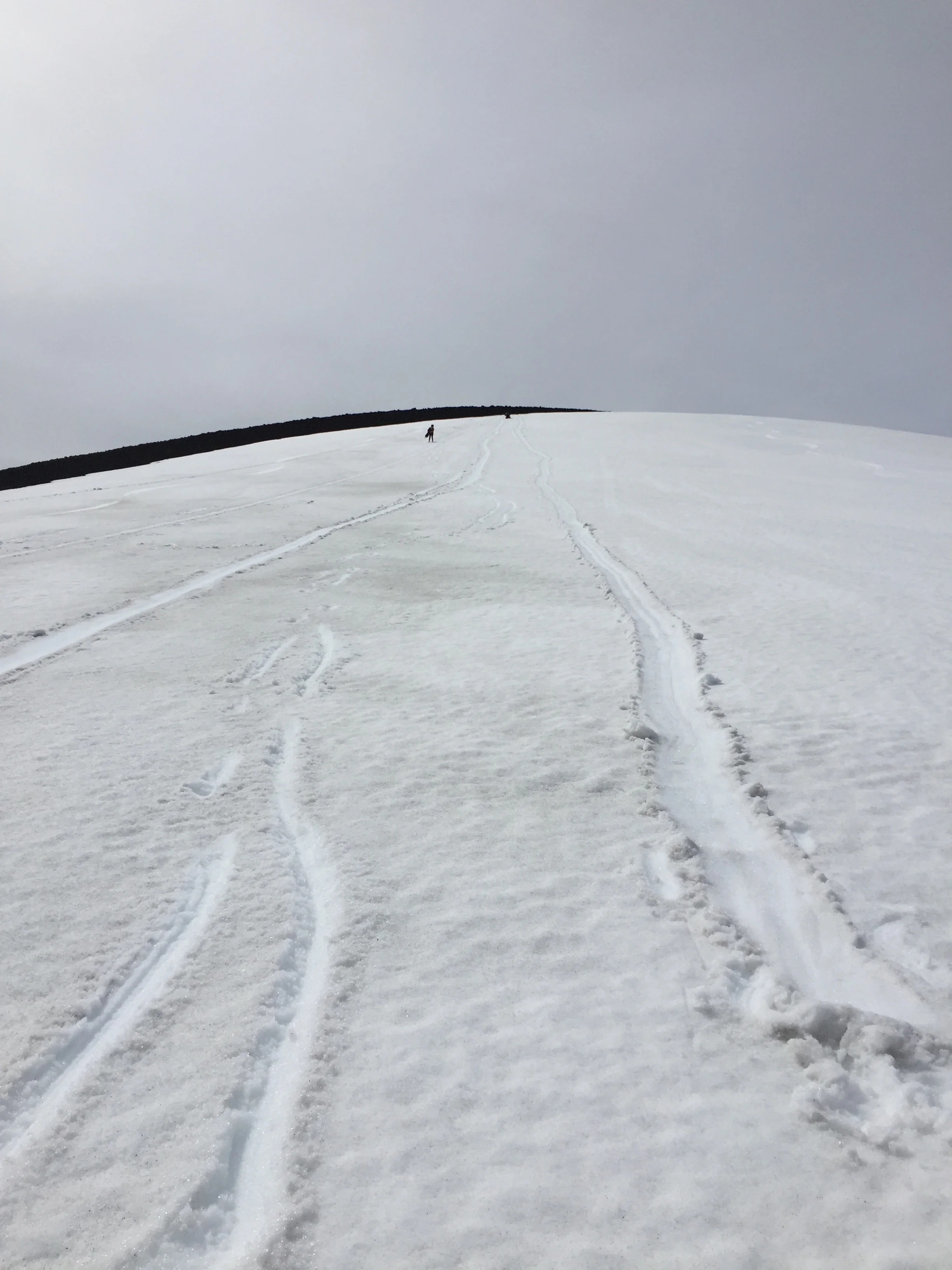
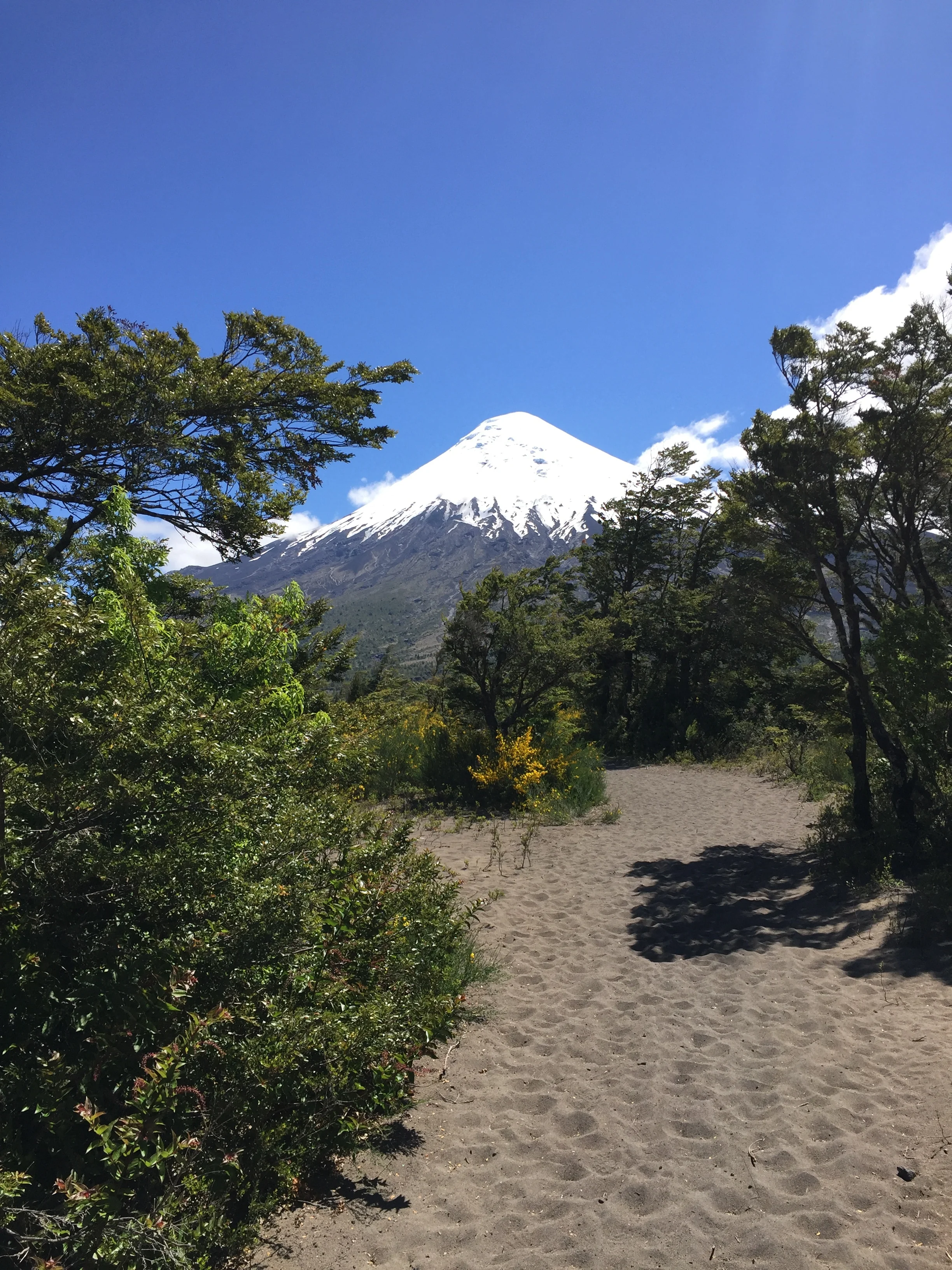
We traveled with 7 other lodge mates for two hours until we reached the base of Volcan Osorno where we hiked up  to the top.  4 grueling hours.  Once again we were the oldest of the group but not the last in the group. It was a great accomplishment and the views were just the reward we needed.  On the way down we reached a point of steep snow, I joked with our guild about needed a sled, then without any thought I dropped to my butt and slid down the mountain. The group did follow, our guild was laughing and told me no one had ever done that, what fun.

The view from the drive we hiked beyond the snow line

The view from the drive we hiked beyond the snow line

Our guide at the base

Our guide at the base

Frank climbing

Frank climbing

The view from the half way point

The view from the half way point

The top

The top

The way down. Janet is at the bottom sledding

The way down. Janet is at the bottom sledding

Frank is at the top starting to sled

Frank is at the top starting to sled

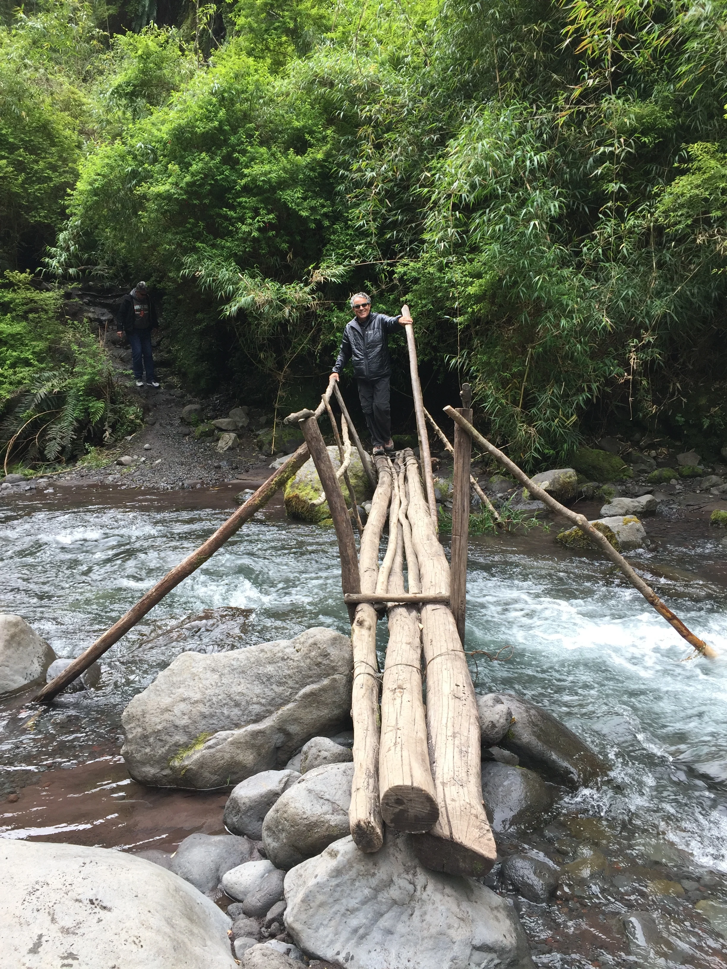
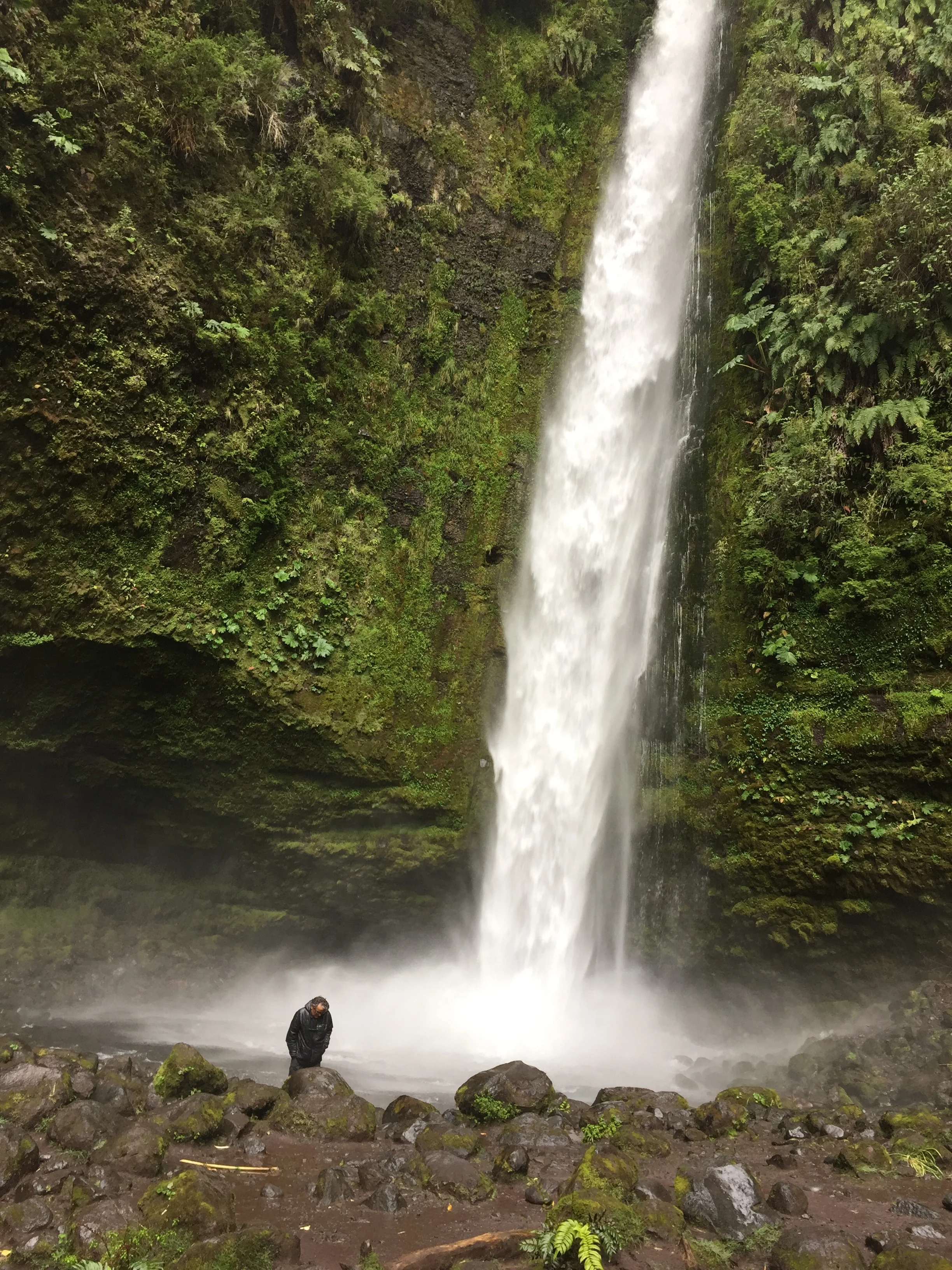
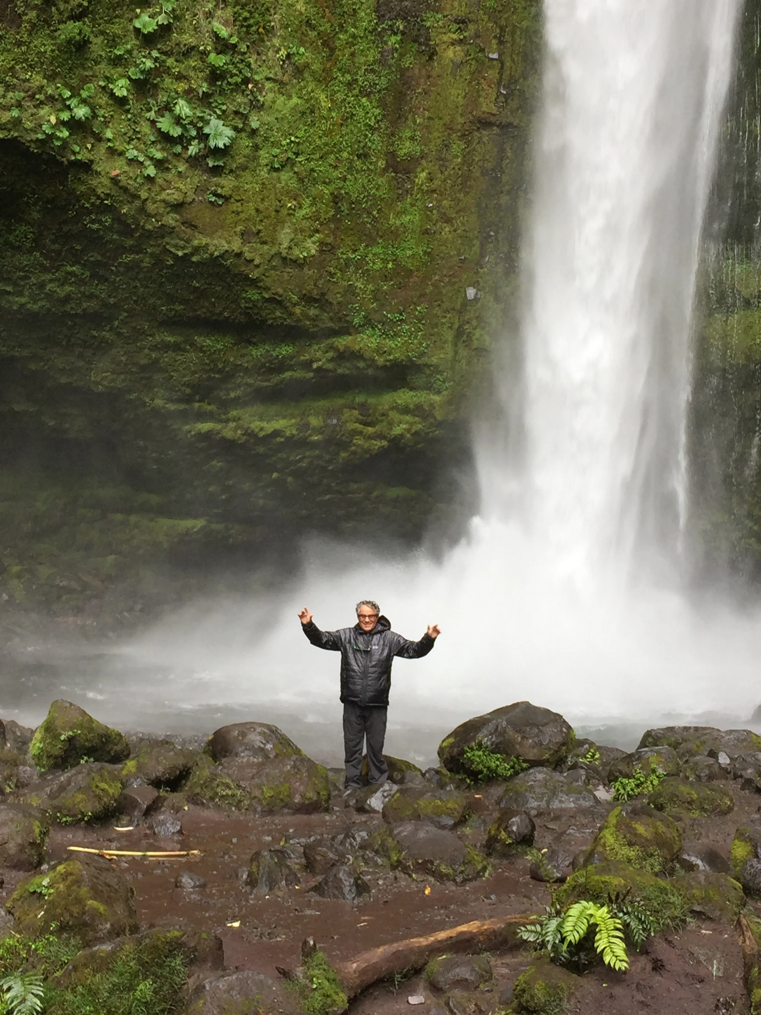
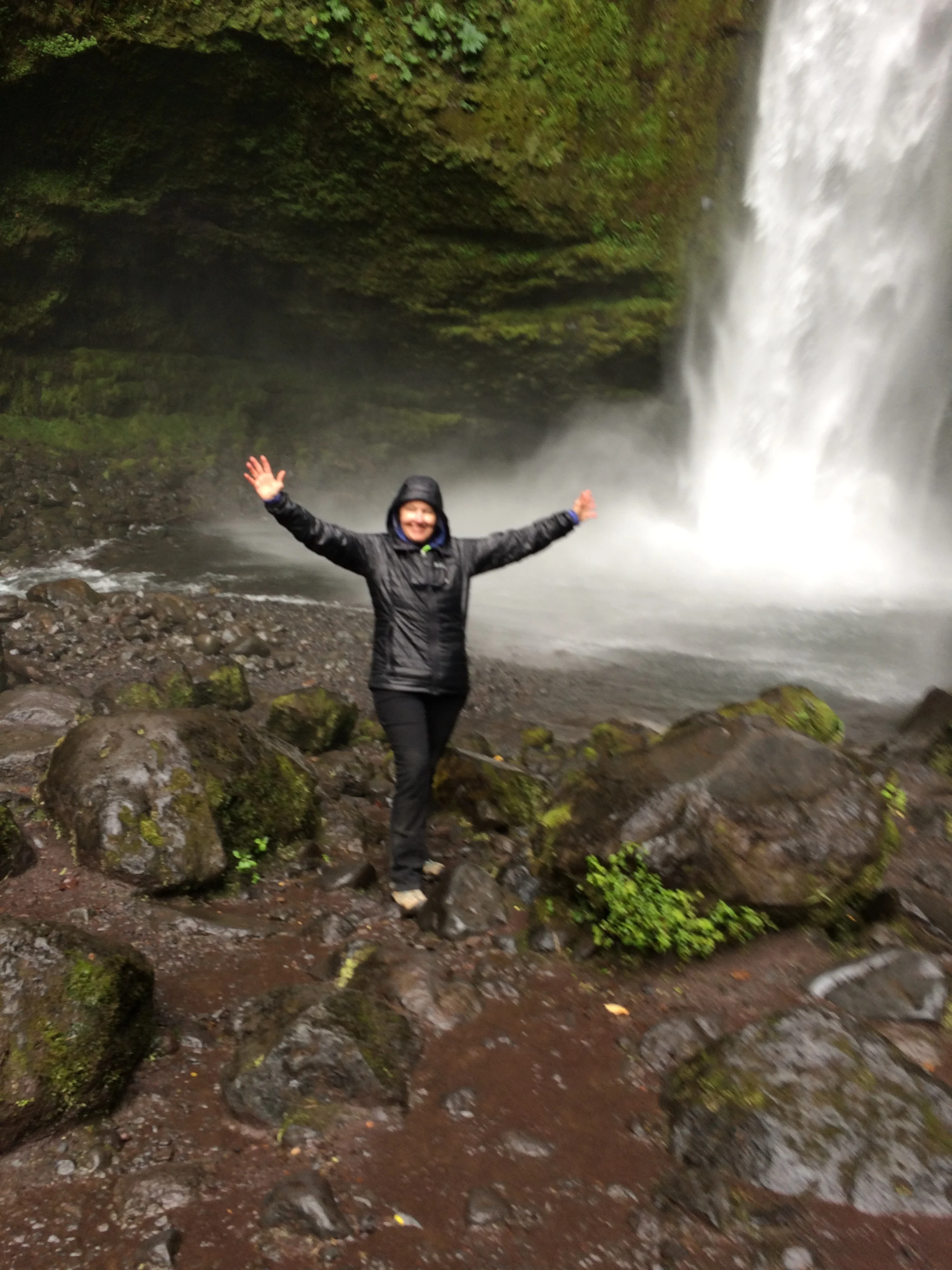
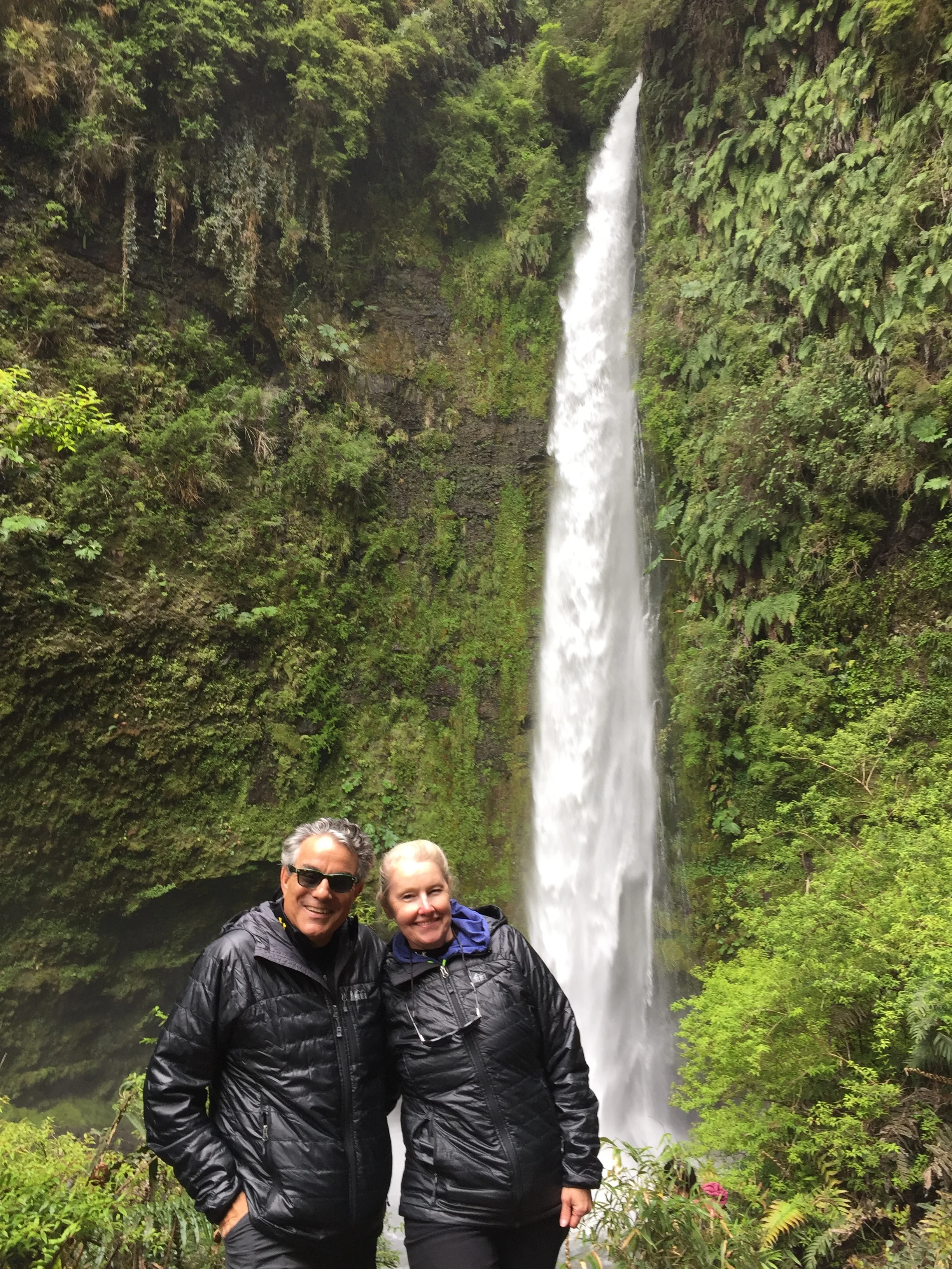
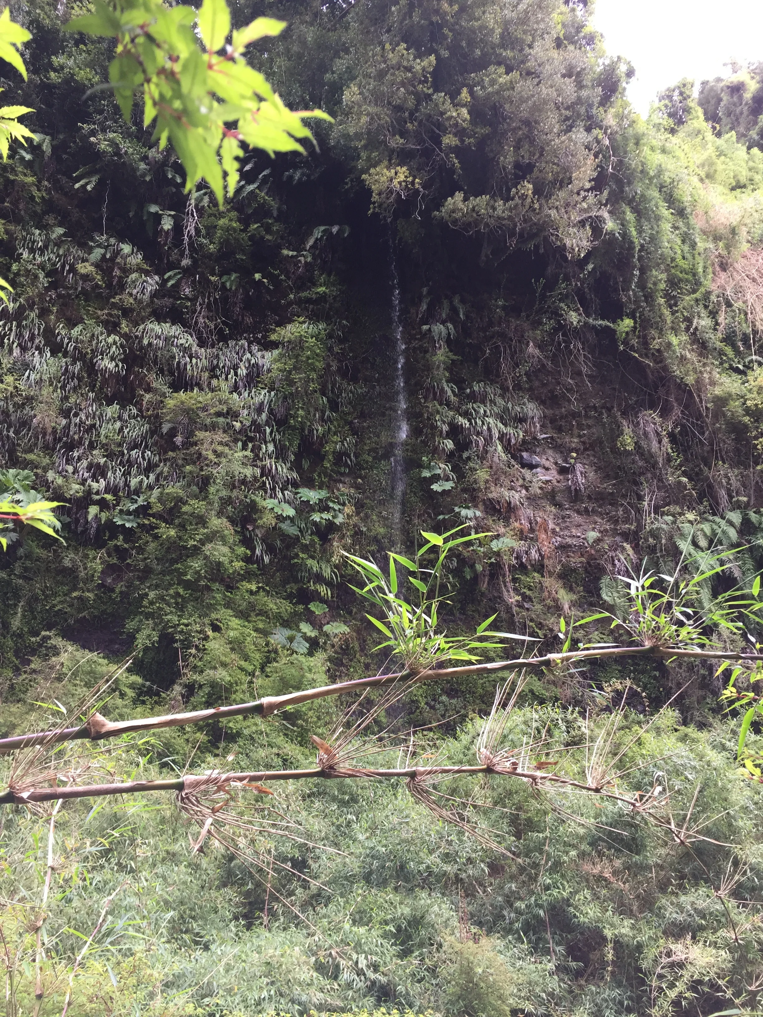
After the mountain we traveled to a bamboo forest for a quick hour hike to a waterfall. The forest was really unique the bamboo is not hollow Iike the Asian variety but looks exactly the same and gives the forest a tranquil feeling. Then we reached the waterfall and it was magnificent, very high and at the waters edge the air was full of the mist, the canyons surrounding it are lush green, this is truly a magical place.    It was great day and great way to start hiking Patagonia.


The bamboo forest  

The bamboo forest  

One of the many bridges on the path

One of the many bridges on the path

The falls

The falls

Frank in the mist  

Frank in the mist  

Janet in the mist

Janet in the mist

IMG_2375.JPG

​Day 2 – Frank

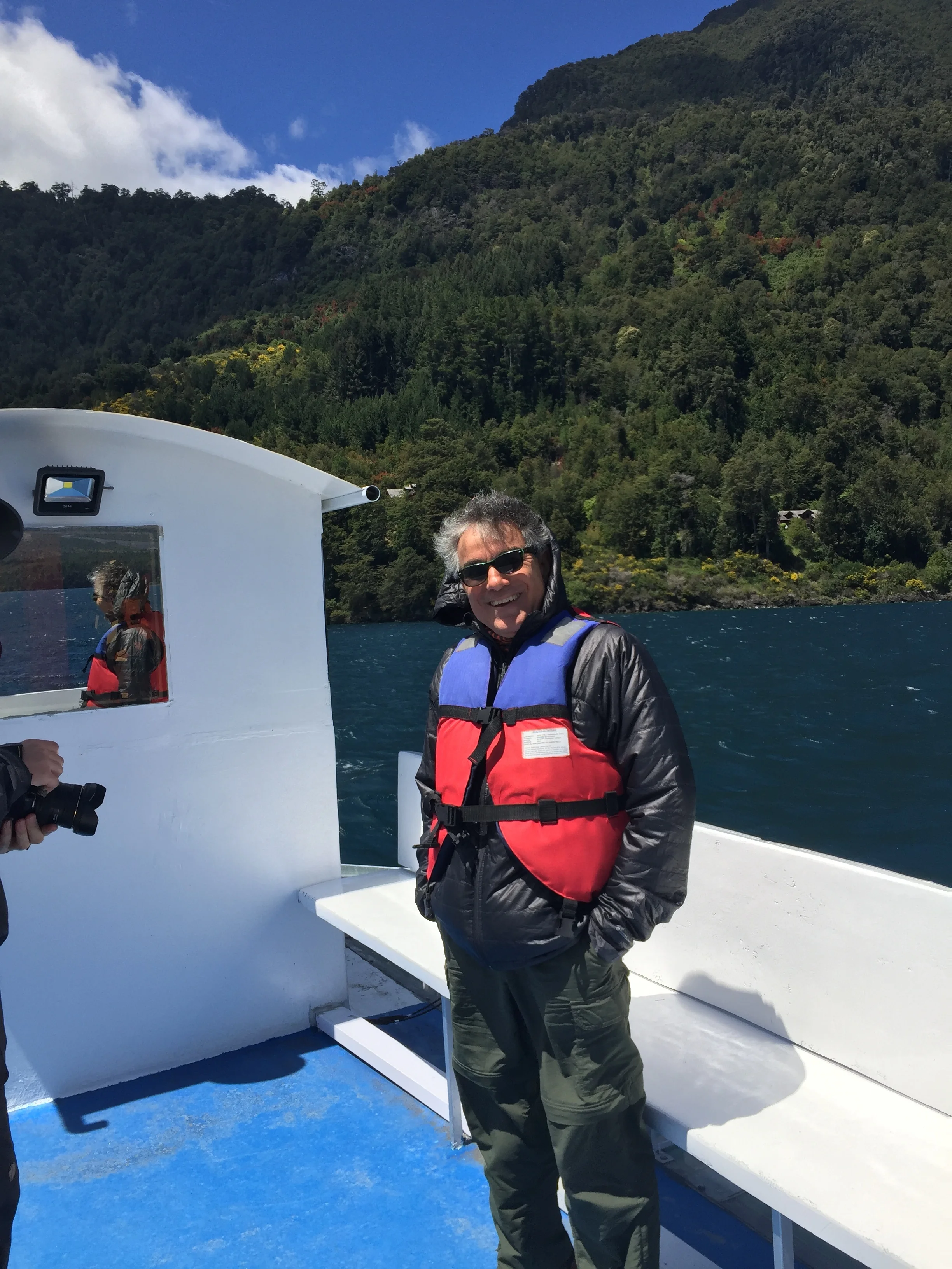
Frank on the boat trip

Frank on the boat trip

November 8, 2016, which later became Nov.9th at 3:00 am., a day that will live in infamy.

We planned a light trekking trip in the nearest national park. We took the local bus which embarked just 3 blocks from our hostel. We had ridden these buses before but it was never exactly clear what the fare would be—the sign only said minimum 500 pesos. This time an attendant was loading the buses and said 2000 pesos each, or 4000 pesos, or $6.03 US. I handed the driver the money, but he did not seem to want it. Then we heard voices that instructed to pay driver when you exit. Those voices were from fellow hostel guests. That's when we met Stephanie and Hendrik who lived in Austria, and who Janet recognized. The ladies hit it off and as they talked about certain trips and tour, then the guys started interacting too. One happy group, who were planning the same excursion, albeit in a separate order. But we kept gabbing and decided to check out the park together. We got off the bus and walked to the entrance and up to this beautiful lake. We decided to take a ferry ride around the lake and get some fresh air and photographs. Hendrik had serious equipment and lens filters. It was interesting watching him set up, where I like the point and shoot method using the iPhone. The ride was pleasant and the air fresh and clean. Once docked we decided to trek.

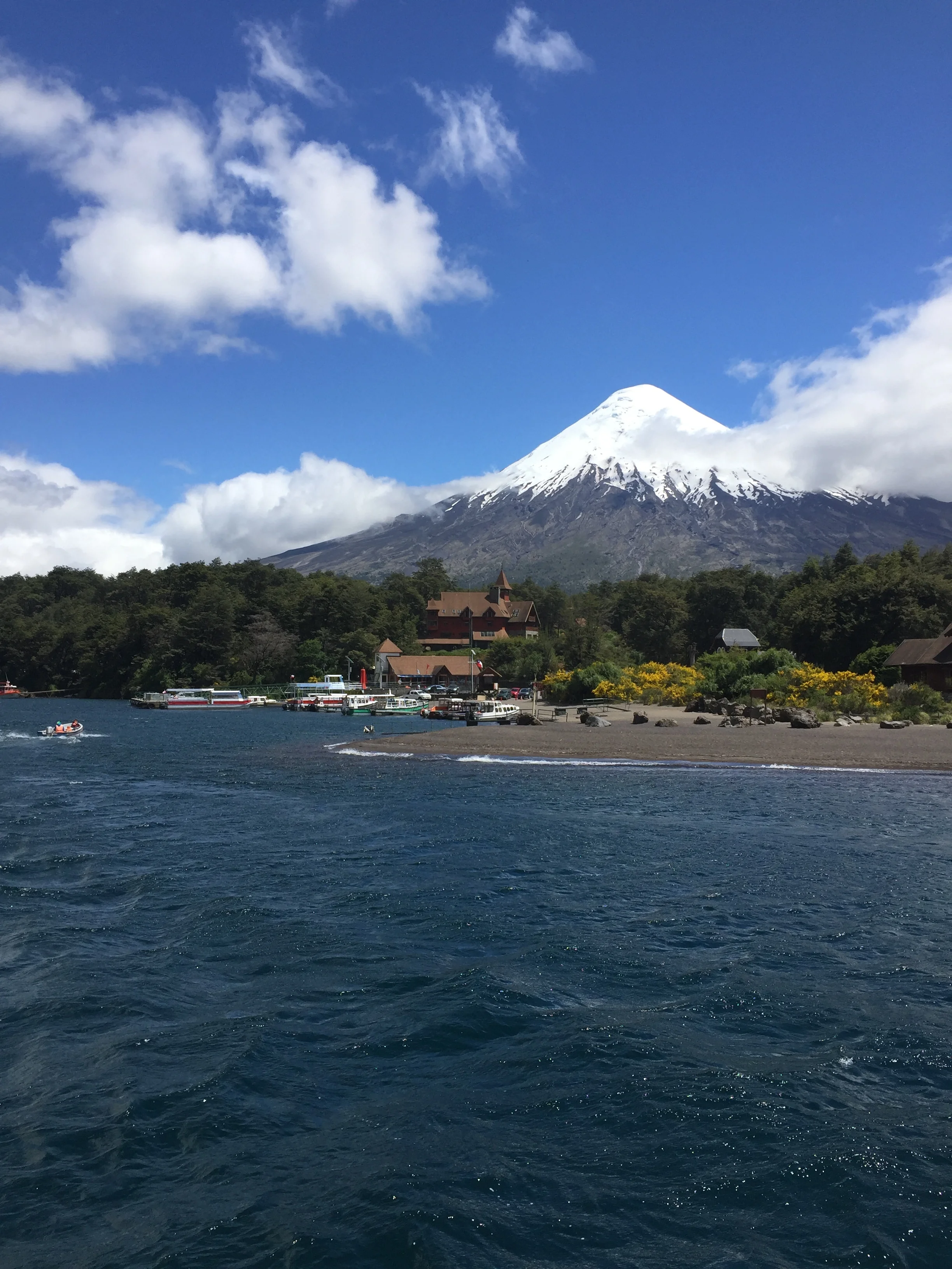
The view of the volcano from the boat, this is the same volcano we hiked but the opposite side 

The view of the volcano from the boat, this is the same volcano we hiked but the opposite side 

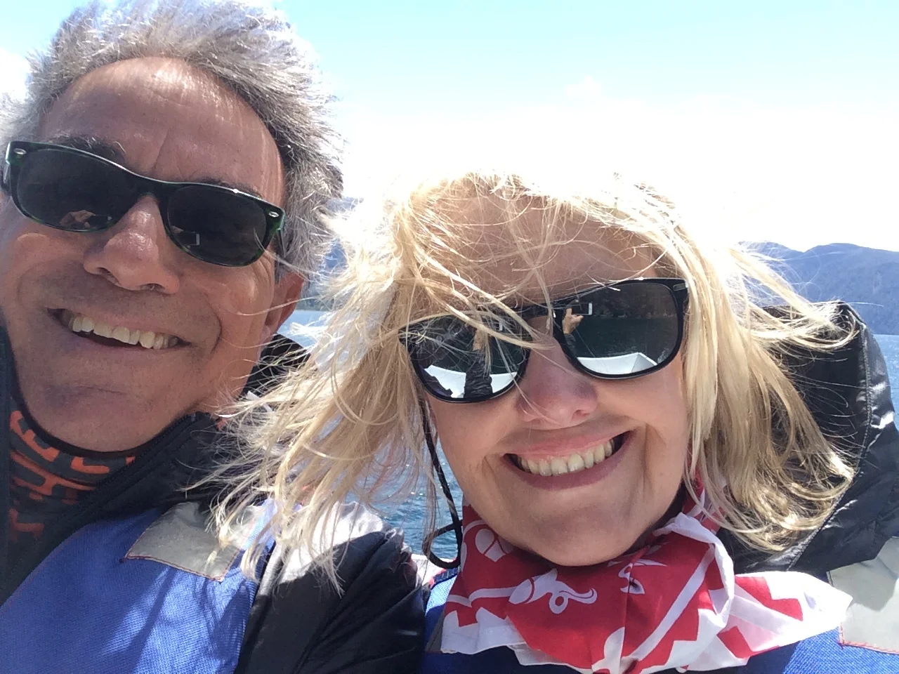
Frank and Janet on the boat

Frank and Janet on the boat

Our trekking path in the National Park

Our trekking path in the National Park

Chilean public workers were on strike again! But, the gate was open so we just went in. Janet and I always bring out trekking poles, so we stay serious and safety conscious. We walked and told stories; you guys know what a good story teller Janet is, especially when she talked about her European excursions and mishaps. Our new European friends seemed to enjoy them too, and reciprocated with lighthearted stories of their own. Both are very educated and at the beginning of their professional careers, not career break professionals like us. Hendrik just completed his Ph.D. in  engineering and Stephanie  completed her second masters degree. We ate packed lunches on the trail, and we walked back just in time to catch the bus to the waterfalls location. 

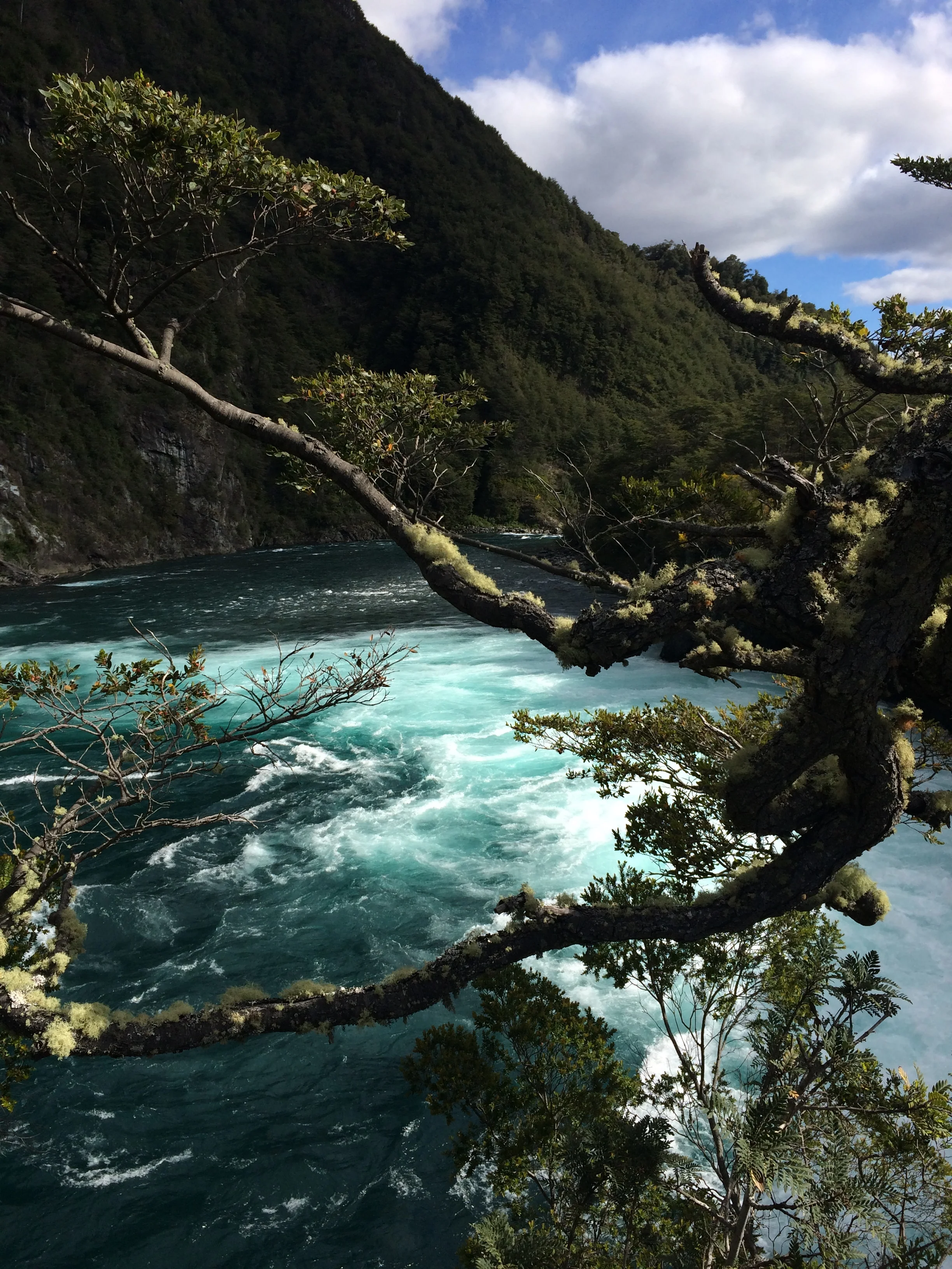
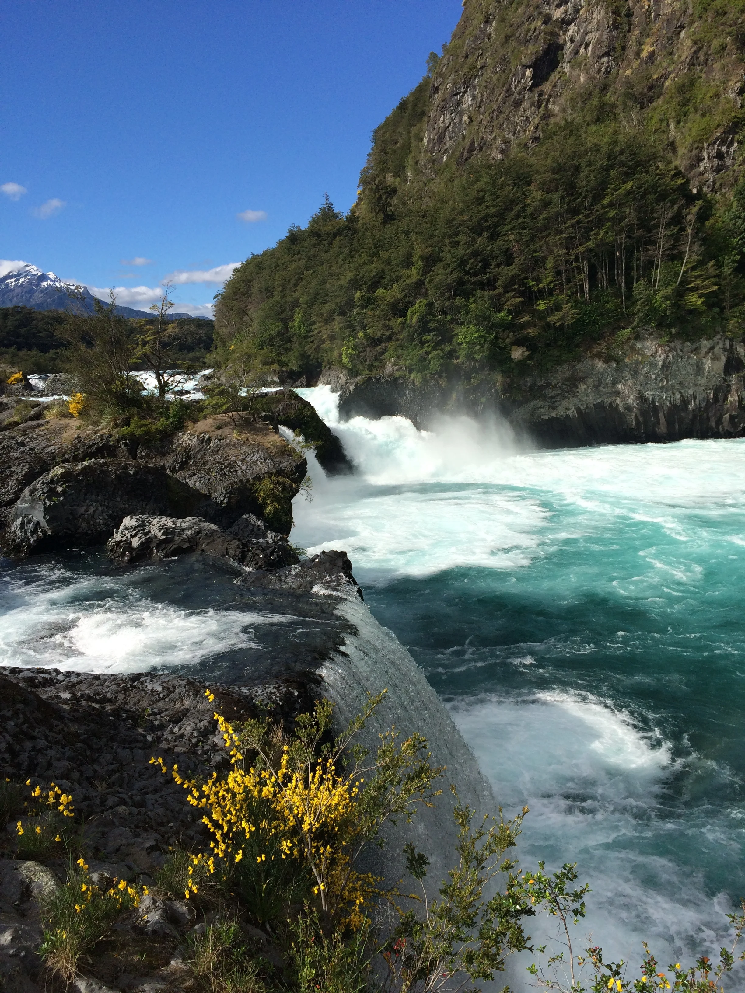
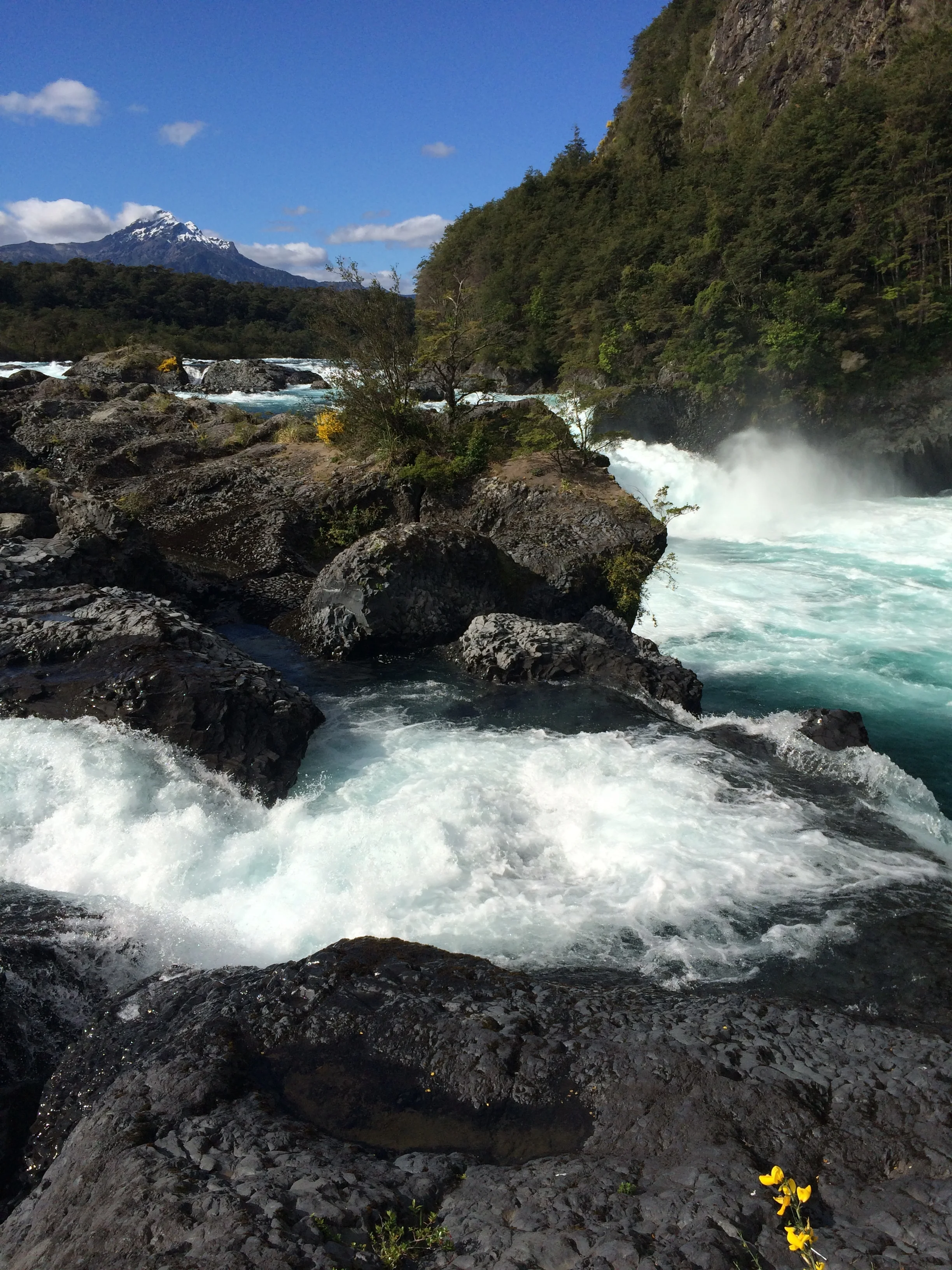
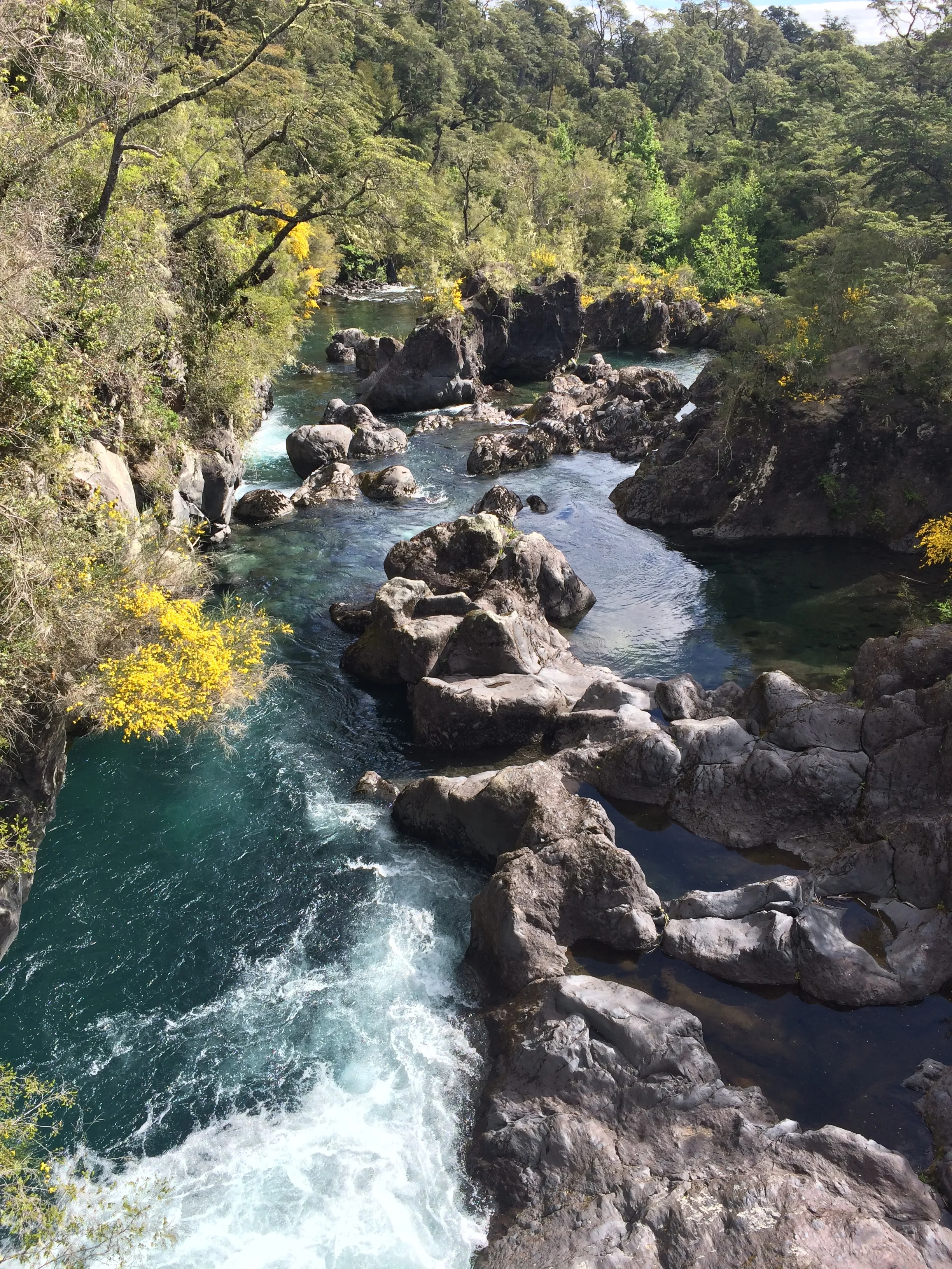
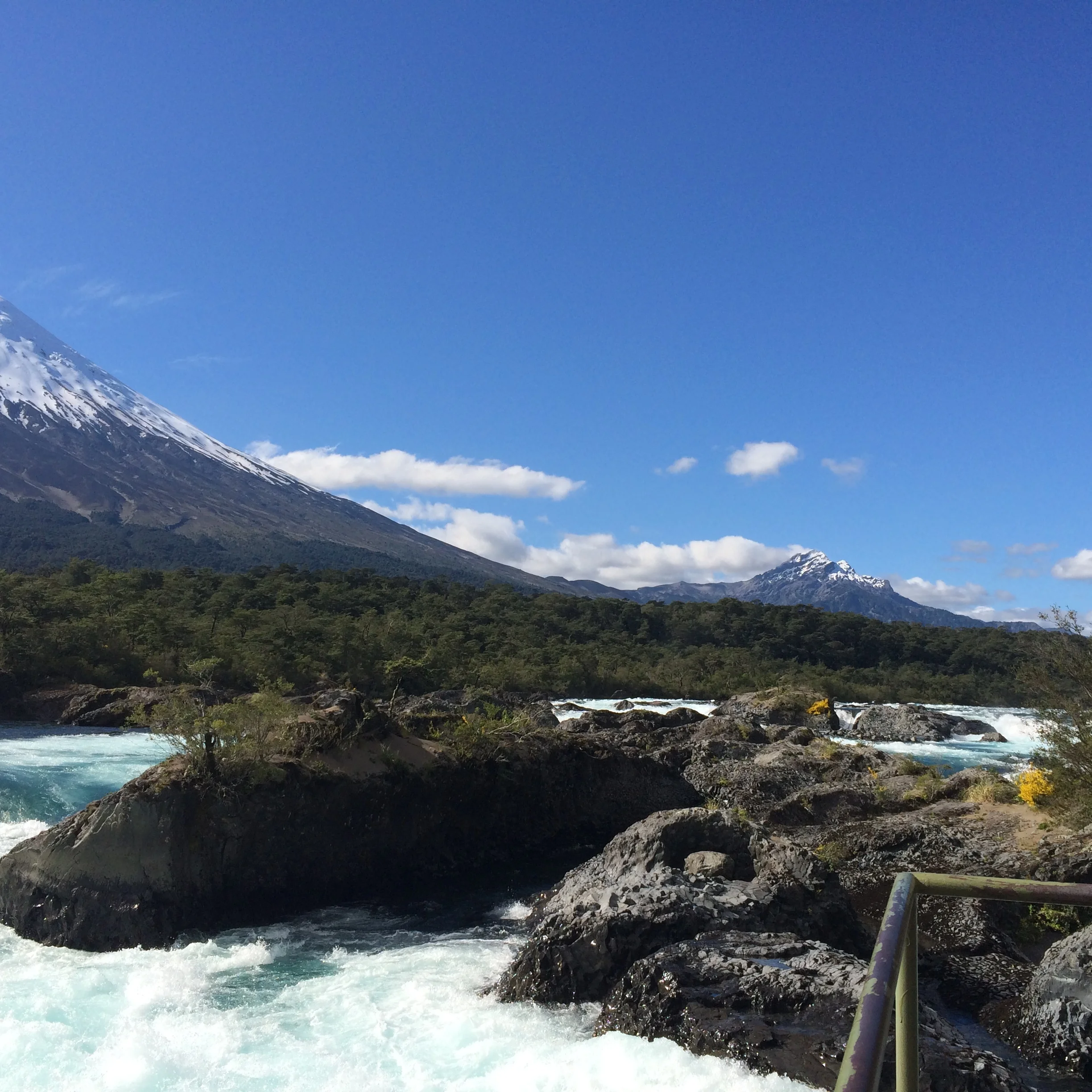
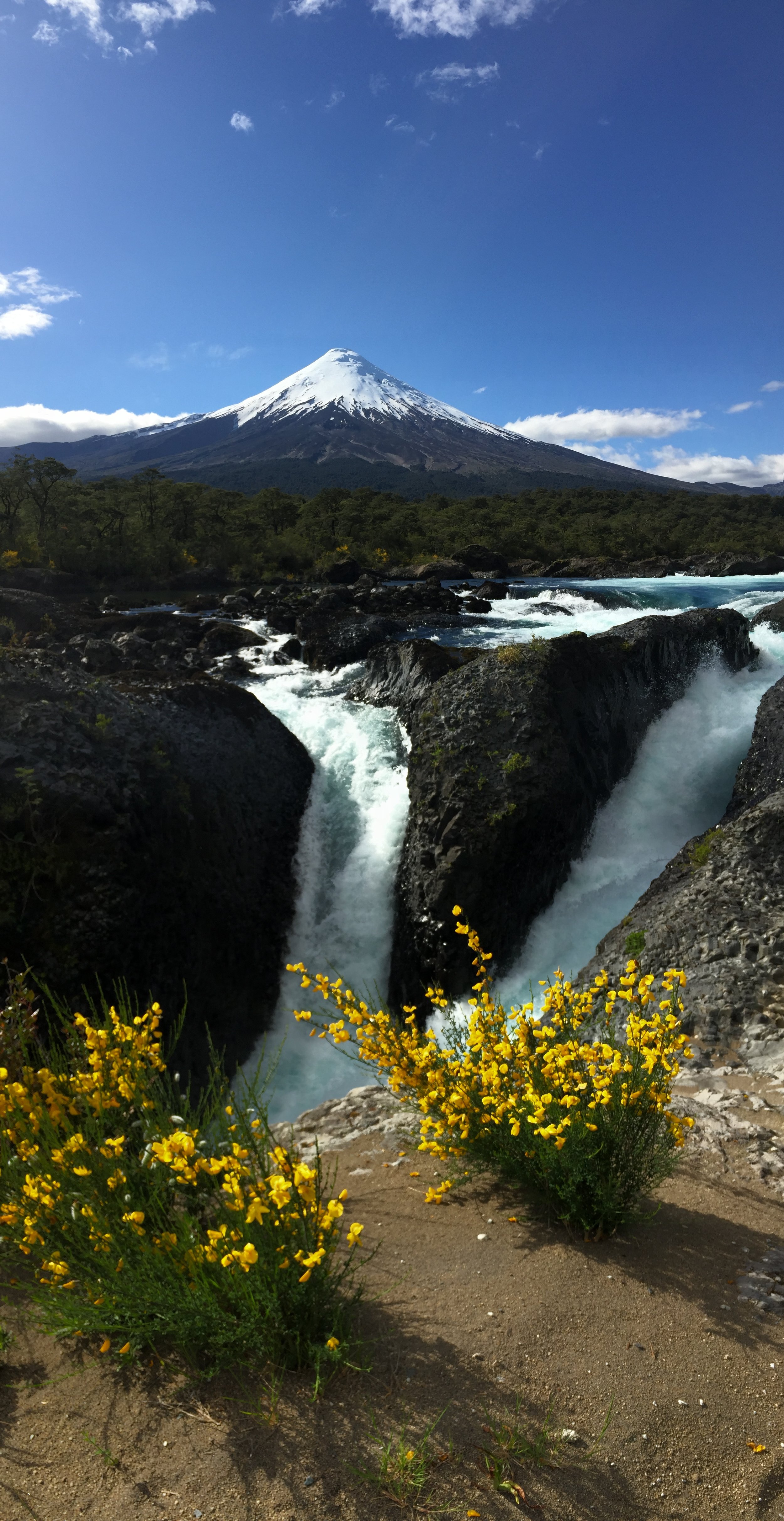
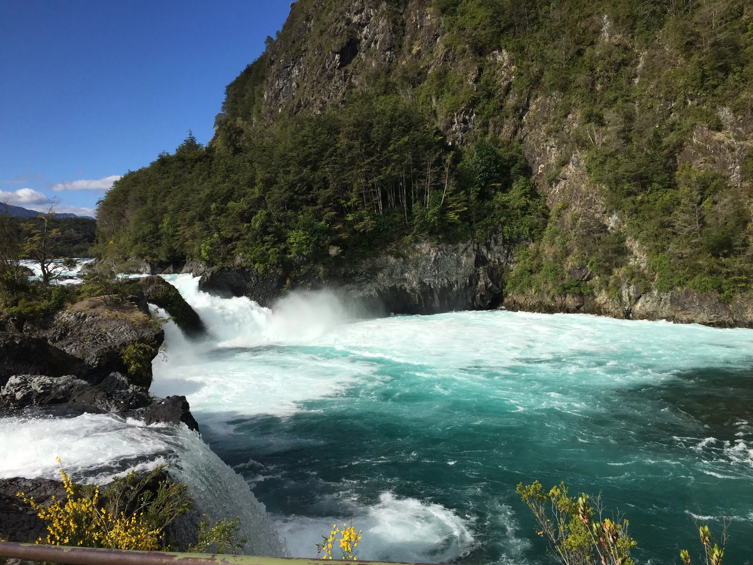
As the road paralleled next to  the raging river, we talked about whitewater rafting in Costa Rica, and that is exactly how that river looked, you know the river where Janet fell out of the raft and was swept so quickly by the current that she had to be picked up by rafts well in front of us. In any event, we entered the second park and walked the river banks until, to my amazement, we saw multiple river falls that were flowing through the rocks with enormous velocity and power. It was beautiful, with various shades of blue and white foam. I hope my point and shoot photos do the site justice. These were the second falls we observed in the Puerto Varas area; different---but each evoked a spiritual appreciation of the nature we were seeing.

Checking the time, we get to the last bus on route back to Pte. Varas. I think we are all satisfied with the excursion. We share chocolates, and play the iPhone quiz game “94”; it's like TV’s Family Feud without the feud or family. They  got right into it. We have to thank our UK friends Emma and Hazel for this game.

Back in town, we split up. They to shop and us to prepare dinner and check politics in the USA.

The path to the waterfall

The path to the waterfall

One of many river falls

One of many river falls

IMG_3845.JPG
IMG_3826.JPG
IMG_3851.JPG
IMG_2433.JPG
IMG_2435.JPG

Election:

We prepared dinner in the community kitchen. The dining room was jammed with backpackers from UK, Australia, Germany, and France. We were sitting at the table with our IPad streaming election coverage of the US Presidential race. Everyone had questions about the process, and some were very attuned the backstory of the campaign and also talked about the EU BREXIT comparison of the issues and voters. The question was did these voters really know ramifications of voting a certain way. The host routed CNN into his large TV, which got everyone's attention. We talked about the red states and blue states and the point system

( electoral college) that was used to determine the winner. They were not quite buying into the most votes doesn't always win scenario. Little did I know that would be the outcome today. We went to bed at midnight Chilean time, which is 2 hours ahead of EST. At that time, CNN was analyzing Hillary’s chances to take Virginia. Their discussions of Trump seemed like manufactured hype to keep viewers.

The morning paper in Chile

The morning paper in Chile

At 3:00 am. Janet woke me up, her computer screen lighting the room: “Trump is going to win” she said. I became alert and started watching, and watched until Trump spoke, hardly believing the outcome. Trump did say he might work 2,3,4 or 8 years as President in that speech. Well, we shall see how life goes. The next day while at a small bus station, there was a Spanish TV station showing a piñata of Trump being smacked with a stick; the clerks reacted with laughter; I must confess it was a pretty good caricature.

Easter Island Chile

Our plane  


GET BACK, Frank and Janet Around the Planet on the remote island of Rapa Nui, 4000 km from Chile or Tahiti, in the middle of the South Pacific Ocean, how good is that!

The airport

Rapa Nui aka Easter Island aka Pascua Island is a 5 hour flight from Santiago, Chile. It was named by Dutch Admiral Roddevan who landed there on Easter 1722. It was always called Rapa Nui by the natives. It is a triangle shape about 16 km in length and 117 Sq. Km In area. Average temp. Is between 18 and 23 degrees Celsius. The island was formed by three volcanoes that erupted and filled in the sea, thus the island is triangular in shape. In modern times there is a single airport runway, starting at the cliffs of the ocean at the Aero Puerto. The terminal is like a large  Polynesian bungalow, small by airport standard but functional. First things first, before luggage is the purchase line for the National park ticket that allows access to all archeological sites. So virtually every one on the plane is in line, and this was a big plane, Boeing 787 with 9 seats across.

Our home stay in the rain

Our home stay in the rain

After we picked up our luggage we were greeted by our hostess, “Laura” Tuki Tepano Kaituoi, who  transported us to her home on the family homestead, consisting of 4 separate dwellings for herself and son Jehielly, and her sisters and brother. In the museum we found a reference to Tomas, a talented artist and her brother. She calls the homestead “Hare O Ahani”. Hare is home in Polynesian, and  Ahani is the nickname everyone on the Island called her father. I can't pronounce his actual name. This was our first “Home Stay” arrangement. We had a large bedroom with private bath, a separate eating area and kitchen privileges, which Janet likes to take advantage of. The home is on a main drive, walkable to the waterfront.

Frank with Lai

Frank with the Suzuki

Frank with the Suzuki


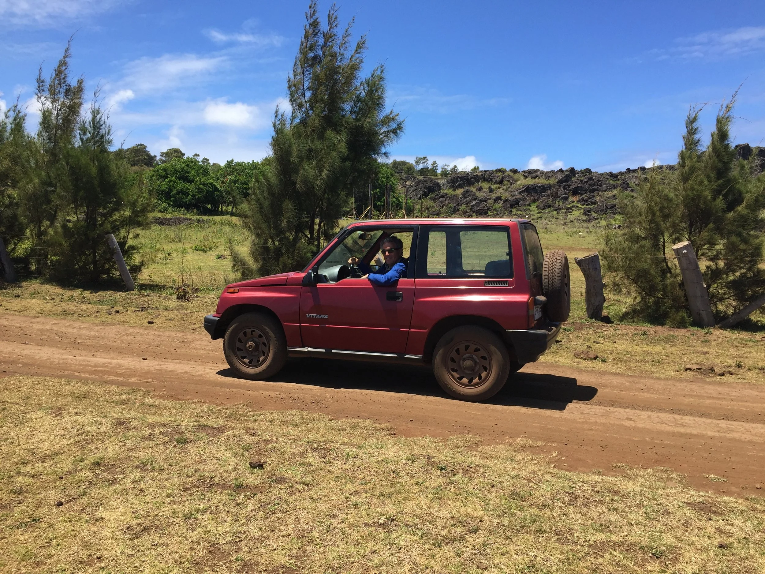
We were also able to rent a car from her. On the island you can have any car you want as long as it is a SUZUKI SUV, with stick shift. Seriously, virtually all the vehicles are some sort of Suzuki, but there is no dealer. The cars are shipped from Valparaiso, Chile and unloaded by cranes on to barges or platforms. Our little SUV has 203,000 Km, and is fun to drive. I guess Janet having that little Fiat 500 with stick made the transition seamless. Having your own car adds to the thrill of finding the Archeological sites on the winding  roads of the Island, many good roads but some dirt, pot holed and bumpy.

First day on island in the city  

 There is just so much to love about this Island. Breathtaking views of the vast blue of the pacific and the waves crashing into the black volcanic cliffs and shores. At first I'm surprised how calm the surrounding ocean is, but that changed over our time there because it went from brilliant sunshine for 2 days to overcast and torrential rains for 2 days. As a native said, the island is located in  a sub tropical location so it rains all the time. The inland portion of the island has rolling hills and in some places rather high mountains, but not jagged. As you move away from the mountains toward the sea, there are sloping valleys interrupted by piercing  bare faced black exposed volcanic rock which become monstrous cliffs near the shore. Another surprise, In the valleys, on the roads, near the sites, and just about everywhere you will see free roaming horses, alone or in small herds, also small herds of cows eating on the side of the roads. Apparently these are branded animals owned by someone, but not corralled. Just some beautiful stallions and we saw many babies with mom.

View of the sea

There is only one town on the island called HANGA ROA. The Current total population on the island is 3700. This includes Polynesian ancestors, Europeans and South Americans. We were told about 100,000 tourists visit the island each year. Historically, the island was populated by Polynesians starting about 800 AD to 1200 AD. It is not clear from which location they traveled. According to oral traditions, HOTU MATU, colonized the island and became the first king, aka ARIKI MAU. His six sons originated the the main tribes. There were at least 10 tribes organized into 2 sects at that time, high status on the west side and the lower status on the east side. His grandson, Miru, founded the most important tribe from which most ARIKI MAU came from.

MOAI with top knot

The natives reference these first settlers as the “Short Ears”and there are some carvings of them. Then some years later there was a second influx of Polynesians  that sported elongated earlobes, “Long Ears”. This second group merged with but took control of the island and are credited with the “MOAI” phenom, of huge figures, which have really long earlobes. This phase began after 800 AD and ended into the 17th century. These statues are just breathtaking. When completed, the figures wear carved top Knots of a red stone mined inland and also have inset wide open eyes of white stone and black or red stone. Only reconstructed sites have Moai with red top knots, and few have the eyes in place.

These Moai figures are displayed as respect for the leaders of the various tribes and were erected on the site of their villages. The oral history provides that each leader would commission his Moai to be completed prior to his death and upon his death it would then be erected on a platform called AHU. On various sites there are numerous Moai which indicate the longevity of the tribe and tribe leaders at that village. For example, If there was 4 Moai, it would represent that 4 leaders had lead the tribe until their deaths, which might span 200 to 300 years. At first the Moai were smaller and shorter, but eventually were carved into bigger and bigger sizes, probably at the leaders request if we know human nature. Supposedly, each Moai was stylized to reflect the leaders looks, but with erosion and abuse this is hard to see. However, different sized figures  are often situated on the same Ahu. Unfortunately, that is only at  Ahu  at  reconstructed sites because most of all the Moai on the Island have been toppled, cracked and broken, but make no mistake they are impressive. The history provides that civil wars arose between tribes and the victors would destroy the site. This situation is not blamed upon Europeans. Of the estimated 877 to 900 Moia on the island very few are standing upright. Apparently, it was French missionaries that first recorded the history of their observations of the toppling of the Moai by competing tribes, thus diminishing the spiritual power believed to be protecting the defeated tribe.. We thought it was interesting when told that the Spanish missionaries gave up and it was the French missionaries that worked to convert the island to “Catolica”. 

The largest site of standing MOAI

The back of a site

The various large Moai range in size up to 11 or 12 meters in height and weigh up to 80 tons.

Erect Moia at the Nursery

One of the greatest mysteries on the Island is how were the Moia moved from the area of carving to the erection site at the Ahu. This could be a great distance, and really any distance with this weight was probably hard, but especially since there was only a single carving site with the formal name of  Rano Rakuku in the center of the island. This spot is affectionately called “the Nursery”and has 397 Moai. This is the locale from where we all first saw photos of those magnificent faces of the Moai which were completed and waiting to be moved upon the death of a leader. Many are partially buried just to display the faces but not the longer body. At the Nursery there are many Moia figures only partially complete and still outlined in the mountain rock, and some just broken during bad transport or war. The biggest prospective Moia  can be seen still cut in the rock never to be completed.

Moai not completed at the Nursery

There are different theories how the the Moai were moved. There is oral history about walking and also modern testing of hypothetical methods. One theory displays 3 ropes around the neck with 2 on either side pulled alternately to make the Moai walk, with the rear rope for support against falling. Another theory has the Moia rolled on wood logs greased by banana leaves replacing the rear log to the front as it rolls. Some tests have had the Moia on its back, or front , or even standing up, with or without platforms. All seem to work, but each have risks as 92 recorded fallen Moai on route to an Ahu demonstrate. 

Cooking pit

Foundation of house

We are told there may have been as many as 18 Ancient tribes on the island, each with its own leaders and area of residential villages designated and protected by the Moai erected on the Ahu. These Ahu contained the “MANA” or life force protecting the Tribes. These tribes competed for natural resources from the 17th century and eventually conflicts broke out which led to the toppling of the Moai. The victors would install their leader as King, at least for awhile until the next conflict. We observed one of the larger territories on the west side of the Island probably governed by the higher status, starting from the city and extending along way down the coast. Called “ Ahutepeu”, it had many Ahu that signified long term control of the western  waterfront. The village had many stone foundations for the housing shaped like a canoe, long, thin, and with spiking ends. The foundations had carved holes for wood posts to construct the walls and roofs of vegetable leaves. There were ceremonial cooking pits called “UMU” created by volcanic rocks walls. The fire charcoal and food would be covered by banana leaves and dirt and then grass sod to create an oven. These canoe shaped homes and food pits, of various sizes, are found at all the village sites. 

Site of the bird man competition 

The politics, religion, and society of the Island gradually changed after the tribes tired of fighting during the period of carving the Moai. The “Birdman Cult” arrived from around the  17th century until 1864, before the missionaries came! The tribes adopted the Creator God of Humanity called “MAKE-MAKE”, who was above all other gods. Similar to the TANE God of Polynesia. They would annually have a completion, like olympics, where each tribe had its designated champion search for and secure the first sea gull egg, called “Manutara “egg,  of the spring season from the nearby small island of Motu Nui, which he would deliver to his leader. That leader would be named King or “ Tangata Manu” of the entire Island for 1 year. The Tangata Manu stays at  either of 2 places, at the ceremonial village, ORONGO,, at the cliffs of the great inactive volcano crater called “RANO KAU”. Here the houses are all rock tiles but as usual in the shape of canoes. We were there and can say this Crater is magnificent with its own ecosystem of plants and animals, but the wind is really high.  He may also  stay at the wonderful beach community at ANAKENA, which we also saw enjoying  the warm water and reconstructed Ahu with Moai that had top knots and affixed eyeballs. The Tangata Manu is attended only by other holy men. The natives drew many Petrographs in the rocks in deference to this cult, usually referencing Make-Make,  Manutara birds and other natural creatures. There were, however, still conflicts between some tribes that did not want to accept the new Tangata Manu, so war did continue at time and harsh reprisals levied. The competition was stopped by 1867.

The crater  

Eventually, the penetration of the Europeans reduced the native inhabitants to 110. Some had been enslaved and moved elsewhere, others left on there own accord. For many years the natives were congregated within the city boundary while the Island was controlled by Chile as a sheep farm aka “estancia”.   

The natives regained full access to the island in 1960’s and are reinvigorating their culture, which includes the annual Tapati Rapa Nui Festival where Polynesian type competitions are pursued. These include triathlons to canoe, run and swim the smaller crater lake at the Nursery, ski or slide down large hills on banana leaves, and dance and singing competitions.

The island now has an active Chamber of Tourism and tourist dollars reach $250 million per year. We are glad we could contribute.

Below are some additional photos to share

Frank inspecting a head

Frank in cave

Janet in cave

Another village site

Top knot

Broken head due to tribal war

Another site also with house foundation

Large site on water

Site on beach  

Good mana spirit  

Historic dig that shows length  

Original eye

Santiago Chile

Our original plan was to stay in Santiago 2 days, just enough to wash our clothes and get to Easter Island.  Instead with our computer needed service we rented an Airbnb high rise apartment for 6 days.  Most guidebooks do not recommend long stays in this city, well we think they are wrong.  We really loved Santiago.  It is a large city, 5.8 million.  It is surrounded by the Andes.  The city has a great subway system, long narrow parks every few blocks and the primary shopping district downtown is pedestrian only, no cars or buses that just honk and keep going like Peru. 

Our first full day in the city we hit the local markets and stocked up us frig for a week of good homemade meals.  Santiago is famous for its fish market.  The fresh salmon was a staple for us.  They also have large grocerystores; the first time we have shopped in these since being in South America.  The prices are cheap and we able to purchase a six-daysupply of food complete with Chilean wine for $70 (good bottles of wine average $2-$3). 

IMG_2048.JPG
Newspaper headline in Santiago  

Newspaper headline in Santiago  

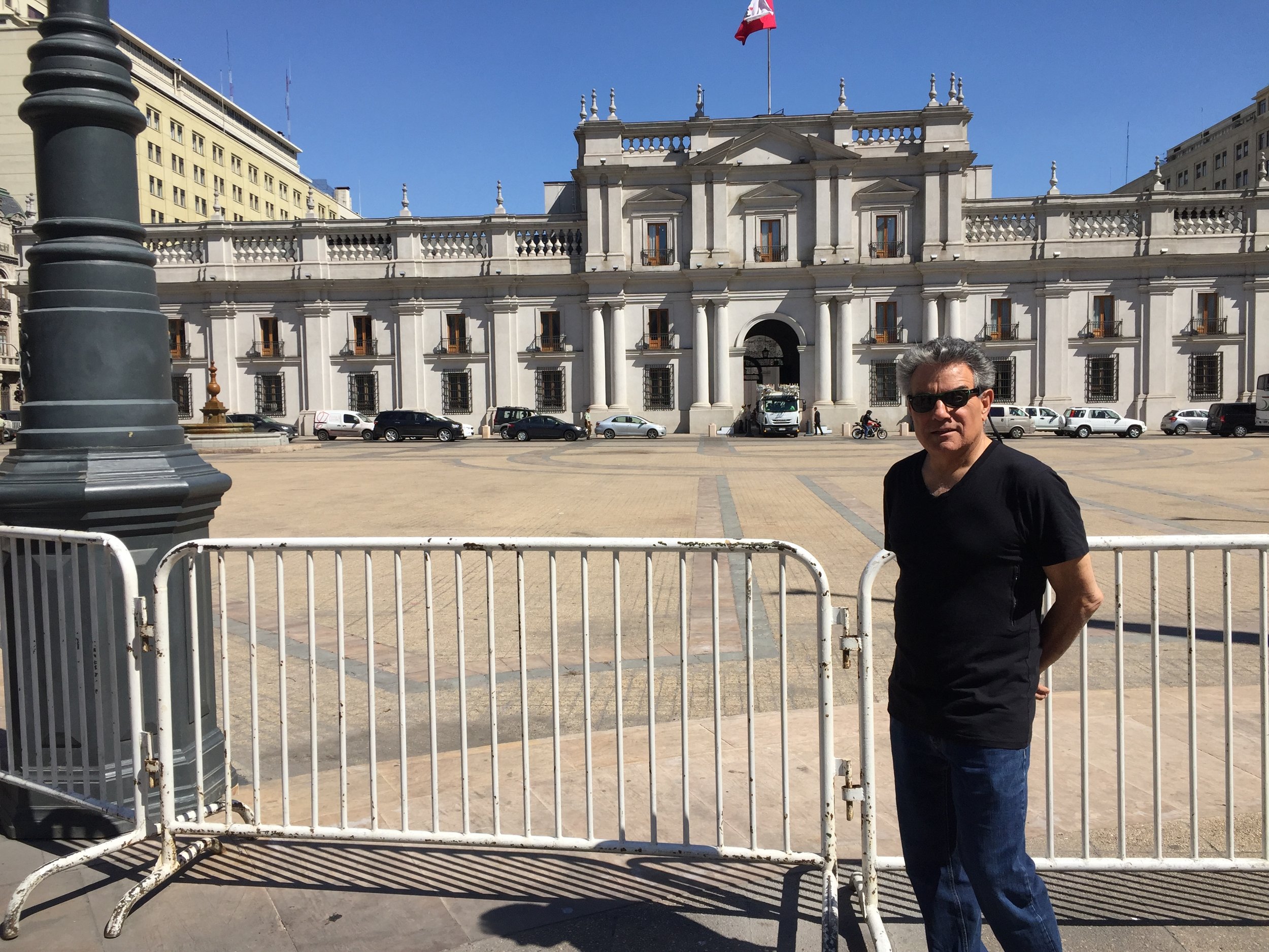
We toured the city with a free walking tour. Our guild was also an actor and he provided an animated 4 hour review of the major sites and a narrative of the political history.  Chile has only been a democratic state for 20 years.  The current president is a woman who had been jailed under the dictatorship.  Our English speaking tour group was large but we were the only people from the US. As before we were ask about the US presidential election and several people offered their opinion of how Trump as president would be a global disaster.  

Our plan was to visit the major museums and parks over several days but the governmental employees waged a 3 day strike and most sites were closed. They are in the middle of annual contract negotiations, the government has offered a 4% wage increase and the workers are asking for 7%. Per our guild this is the same pattern each year with a final agreement usually at 5%   We did manage to see the pre-Colombian museum that had a great collection and review of the ancient civilizations throughout S. American and the home of Chile's second Nobel laureate poet, Pablo Neruda.  He is a national hero not just for his poetry but as a rebel who fought for political change under the long period of dictatorship.  


We traveled by bus (short 90 minutes) to the town of Valparaiso.  This is a port town and at one time it was the largest port in S. America. We took another free English speaking walking tour and had an enjoyable afternoon going up and down the hills. Typically we would travel on the  funiculars but they were also closed due to the strike.    

The city is famous for its street art.  Most of the murals are commissioned and there is very little tagging on the work.  

Our last day in Santiago was Franks birthday and we were up early to pick up our repaired computer, shopping and finally a trip up the funicular of the largest hill to the statue of Mary.  It was a great day, sunny and warm, lots of crowds. 

We left Santiago early on a Sunday morning for a direct flight to our next stop Easter Island


quick note on our computer.  

The Maconline store in Santiago delivered our Mac Air back to us with a new motherboard but 6 days later it shut down again.  We have now been advised that we must wait until we get to Brazil and a real Apple Store for further repairs.  Needless to say we are very disappointed in this Apple product. But we are now resolved not to have electronics take control over us and we are carrying on with phone and IPad

SAN Pedro de Atacama

The Moon Valley

IMG_1876.JPG

We arrived at the bus station at 10 am and after a great cup of coffee we opted to head straight into town to arrange tours for our 3-night stay.  San Pedro is strictly a tourist destination.  The city has less than 3,000 residents and in the high season hosts over 11,000 tourists per day.  It is an oasis in the middle of a desert.  The streets are dirt with a paved square; the buildings are adobe style with courtyards.  Dogs are everywhere, they jog with us as we walk and then lie in the middle of the streets until a car honks them out of the way.  We decided to visit here first to break up our trip to Santiago, it was 12 hours from the Peru border, if we went straight to Santiago it would be a 30 hour bus trip.  And second, after reading the reviews about how friendly the people are and how the landscape was like no other in South America we thought we should give it a go.  It is also a big splurge for us, we knew that we could not keep to our target daily budget in this very high price town. 

After reviewing and negotiating with two tour agencies that have high ratings in Lonely Planet we purchase 4 tours starting with an afternoon tour of an area known as the “Moon Valley”.  After a quick sandwich we find our way to our hostel to freshen up and head back out for the tour.  We have developed a routine upon arrival in new towns, find a store to purchase bottled water, food and snacks.  Go to the local ATM for cash and add money to our mobile phone chip.  Depending on the city these tasks can be difficult.  In San Pedro all were almost impossible, starting with cash.  Although our tour operator clearly had the telltale logos for visa and American Express, when we started to pay for the tour we were told that their card “machine was broken”.   Broken credit card readers seems to be an epidemic in South American!!  Most of our cash went for the tours so we needed cash to pay for the hostels that advertised cash only on Booking.com.  The town had around 6 machines. We went to all of them and they were all broken or empty.  No money, no water, no snacks.  Thankfully our hostel provided bottled water. We have great hot/cold water bottles from REI but most of the hostels and some of the nicer hotels do not supply water but do advise that the water is NOT safe even for brushing our teeth.

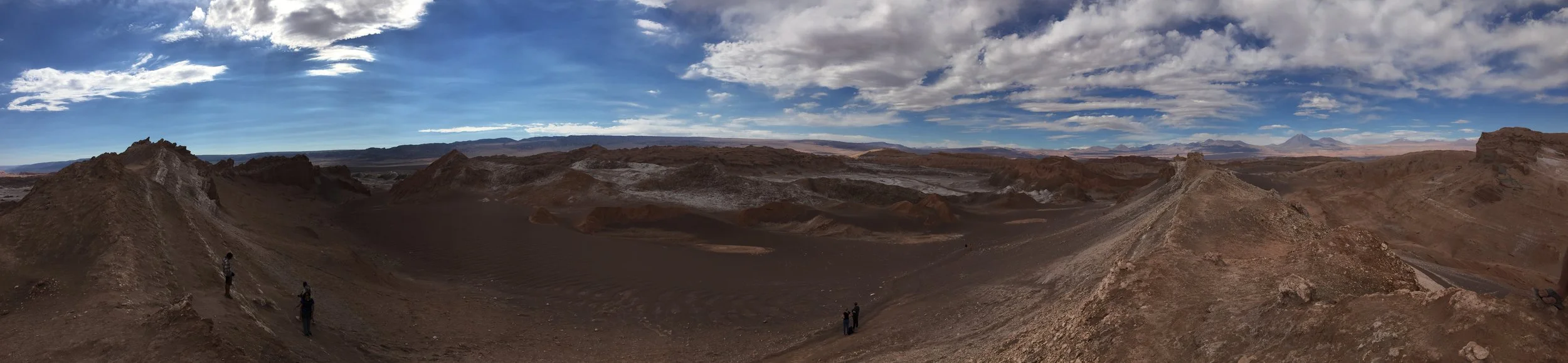
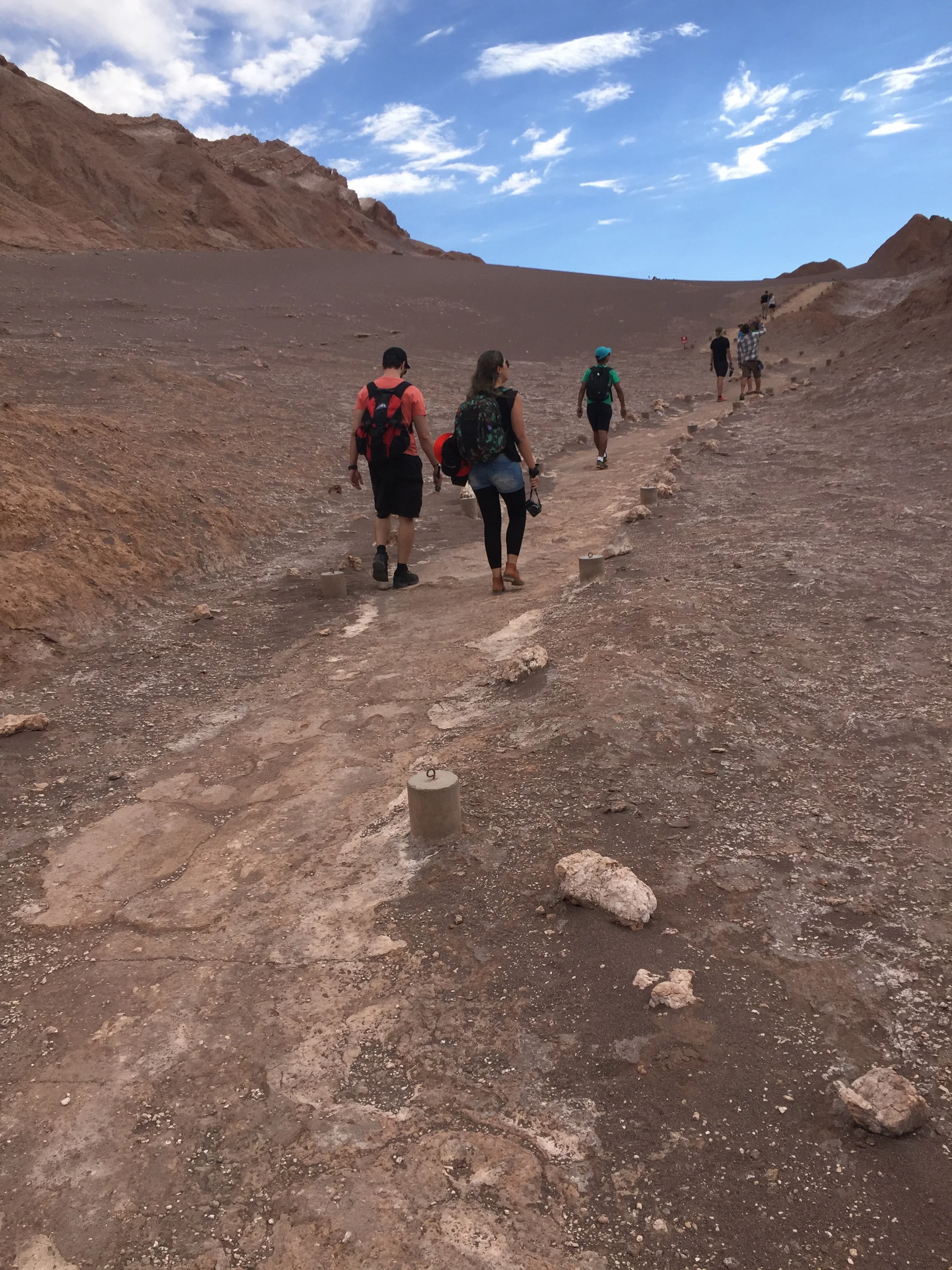
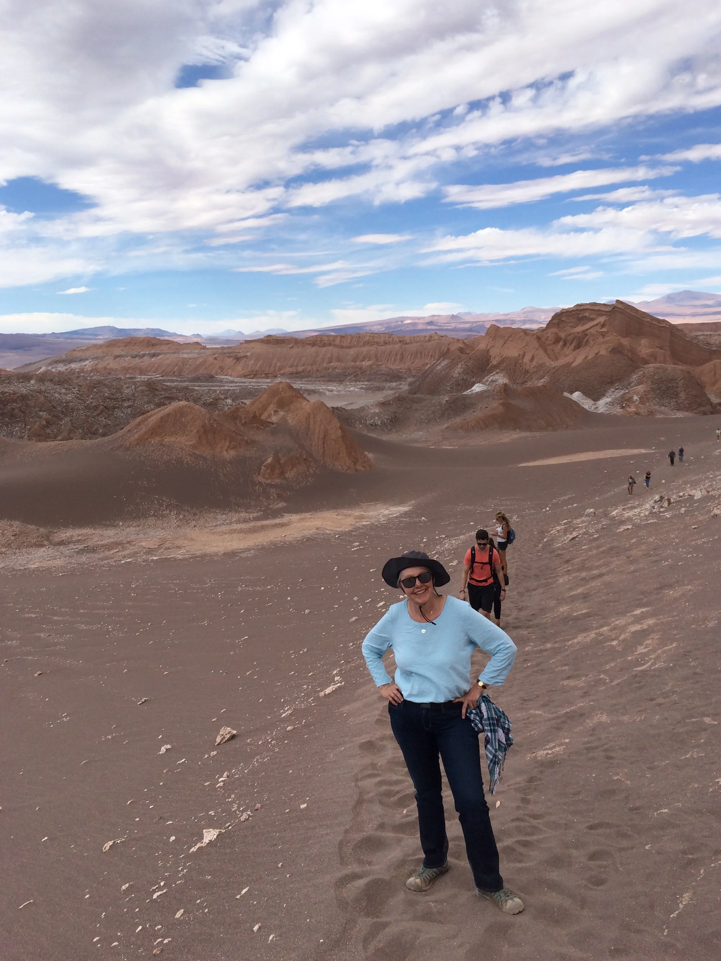
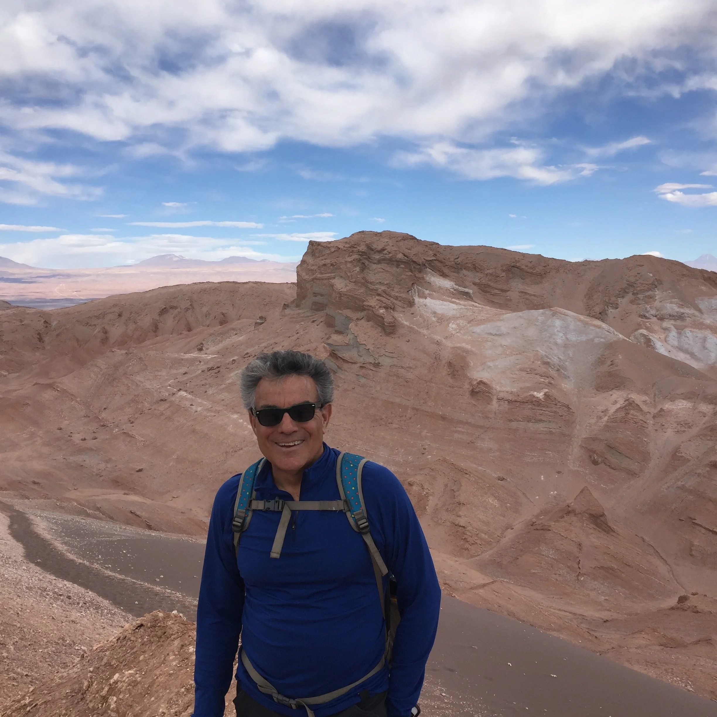
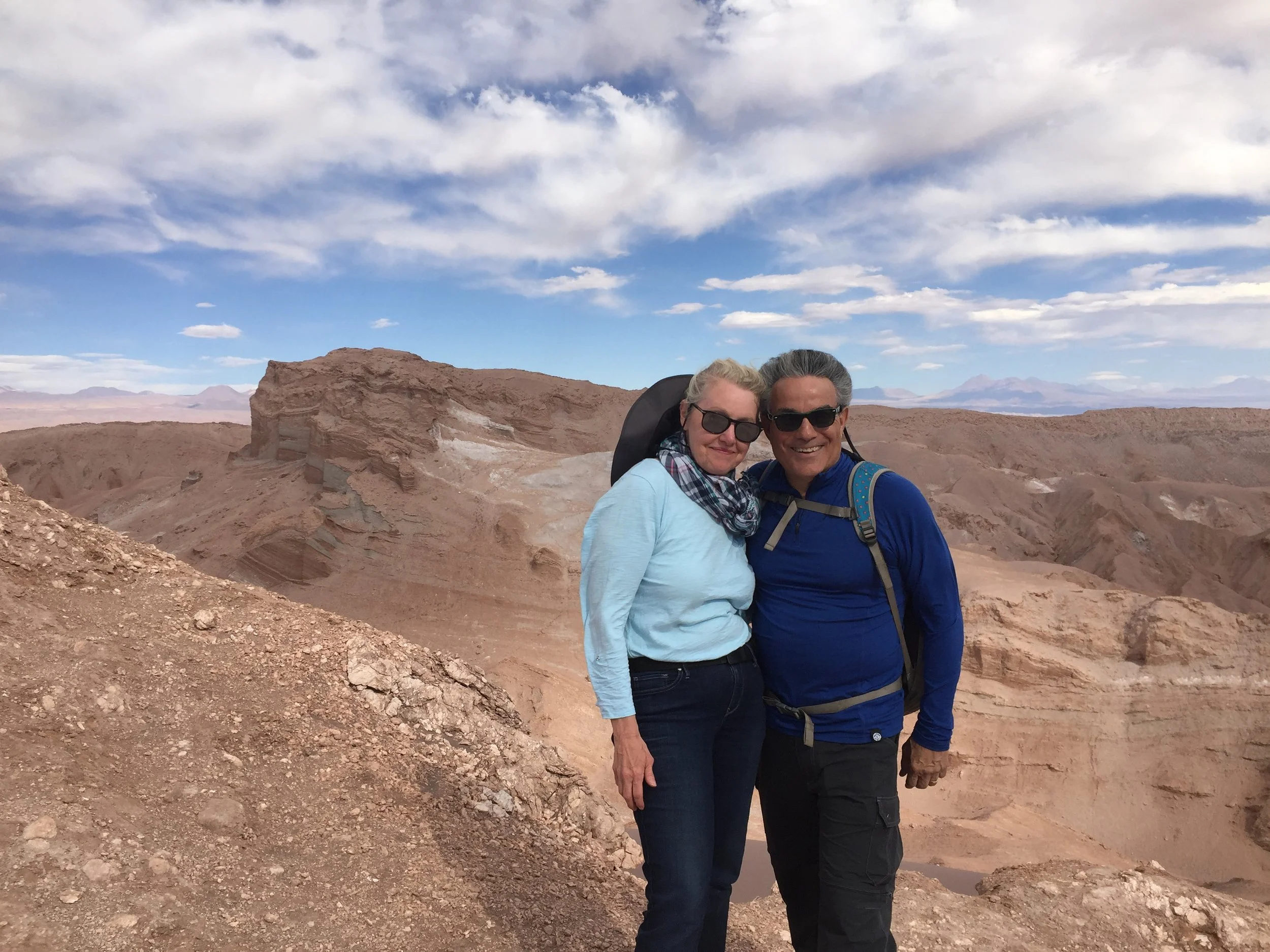
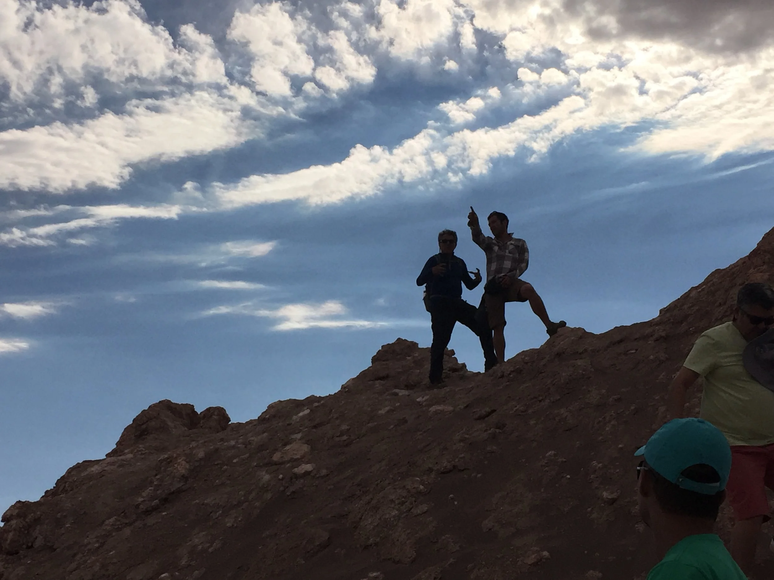
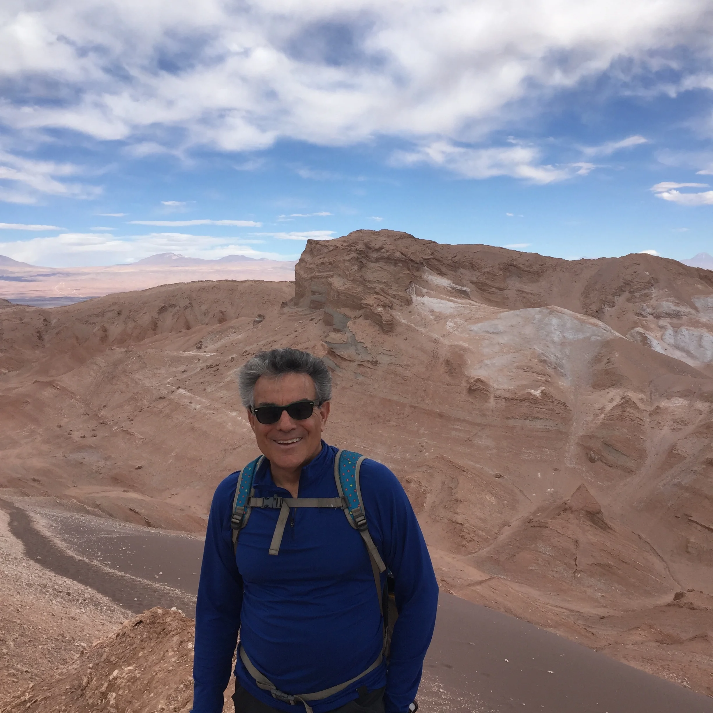
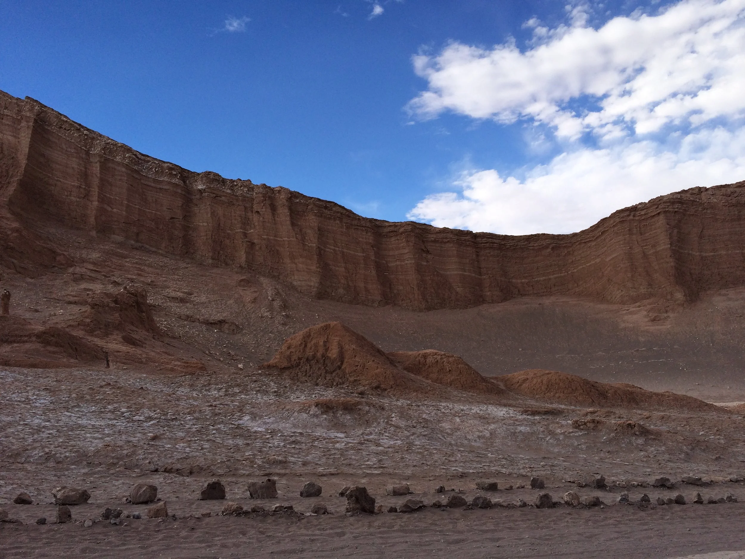
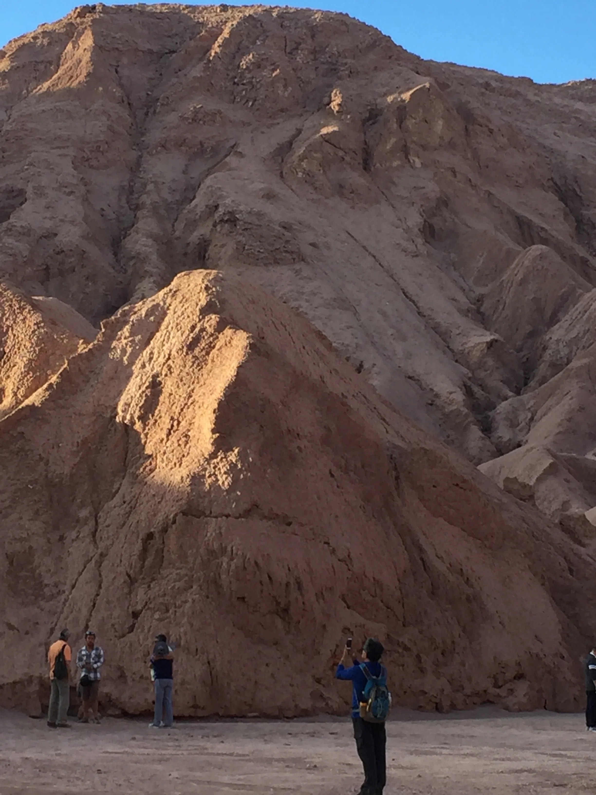
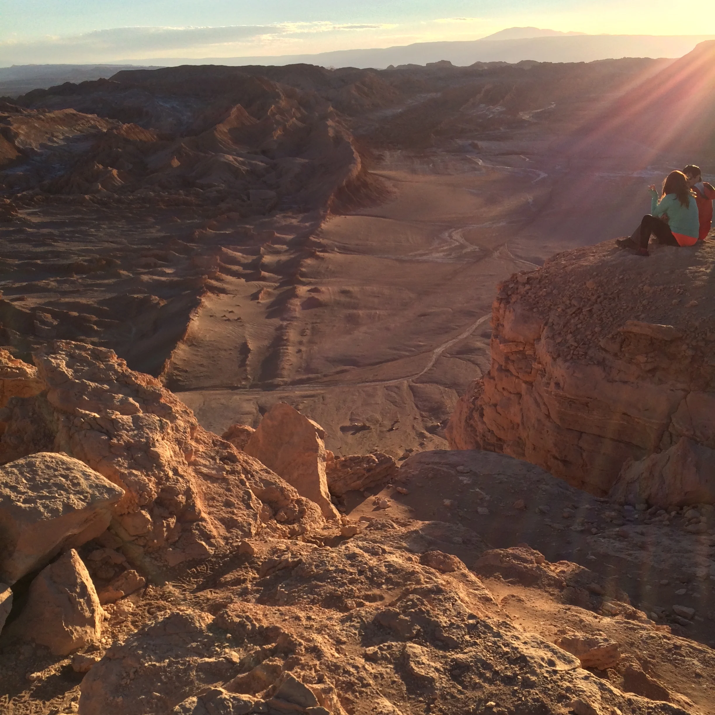
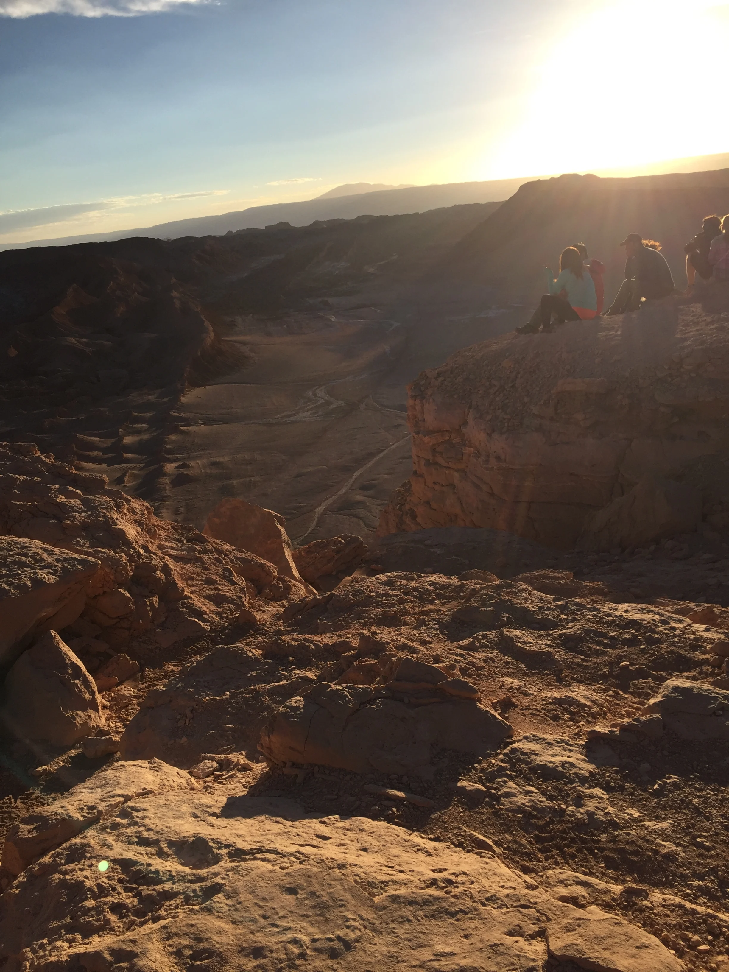
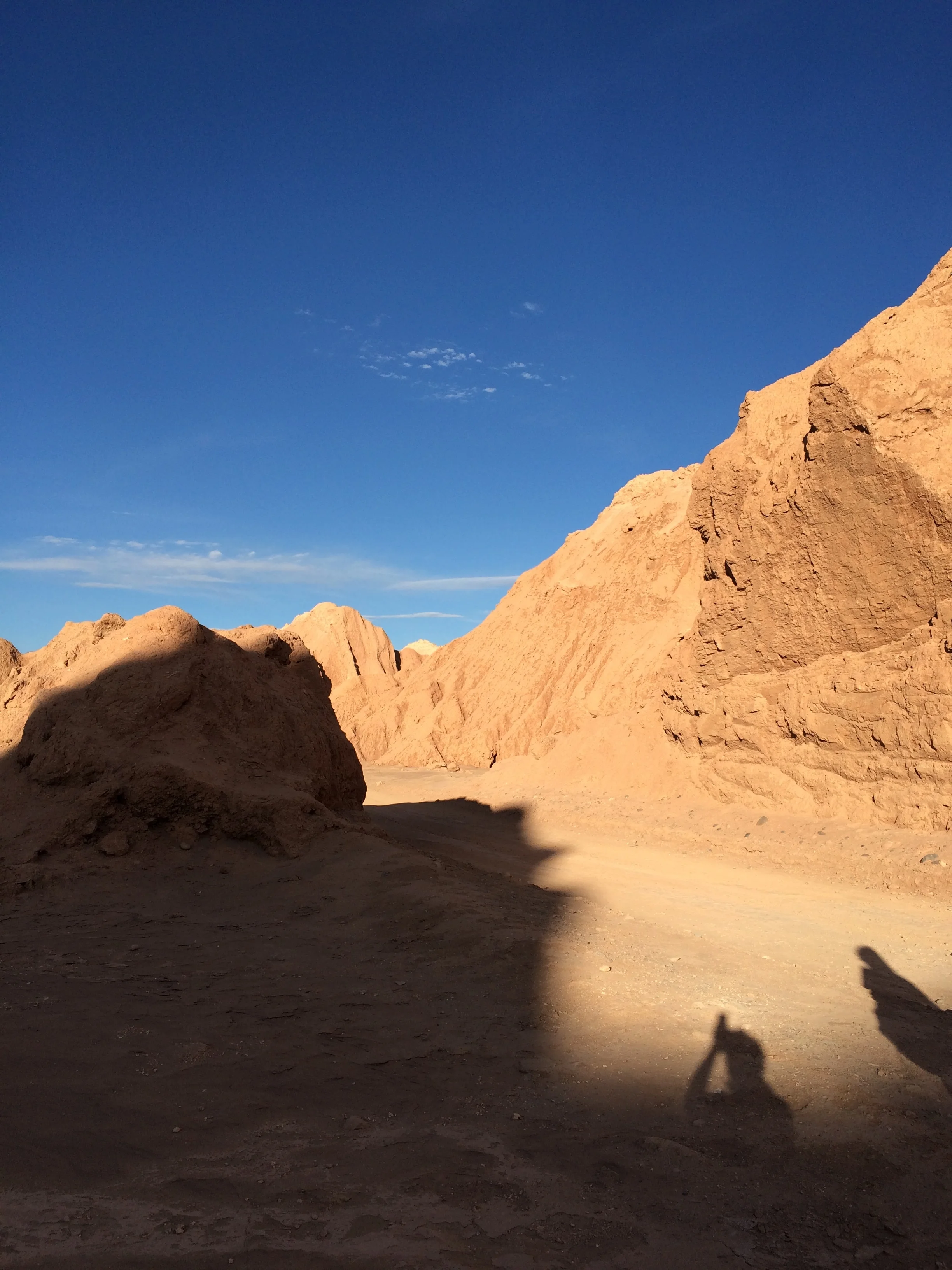
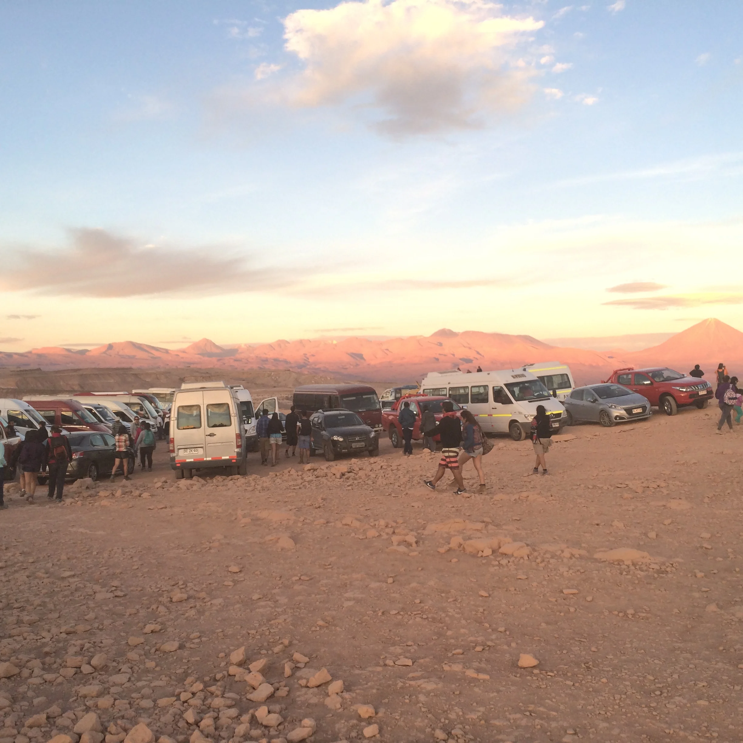
In any event, we depart for the “Moon Valley” with a lively group of European backpackers and others.  The backpackers are 2 guys from Sweden and 2 gals from Germany. They were really chatty. I think the Swedes reminded us of our sons, and in fact they had traveled the US as exchange students starting in North Dakota. They could not say enough good things about the States.  The site was a short 30 minute drive away.  Our first stop is at the base of some very large hills with trails to the top.  The trail is steep and at some point turns to deep sand, but surprisingly it was an easy climb for us and Frank and I are one of the first of our group of 30 to reach the top.  The view is outstanding.  Reddish colored rocks and valleys that have a configuration like the Badlands in the US. For as far as we can see the desert has colorful hills and valleys and a far off dry lake bed.  This place is spectacular, it reminds us of the movie “The Martian”; it was not filmed here but NASA does use this area to test the lunar landing equipment and the Rover for the current un-manned mission to Mars. 

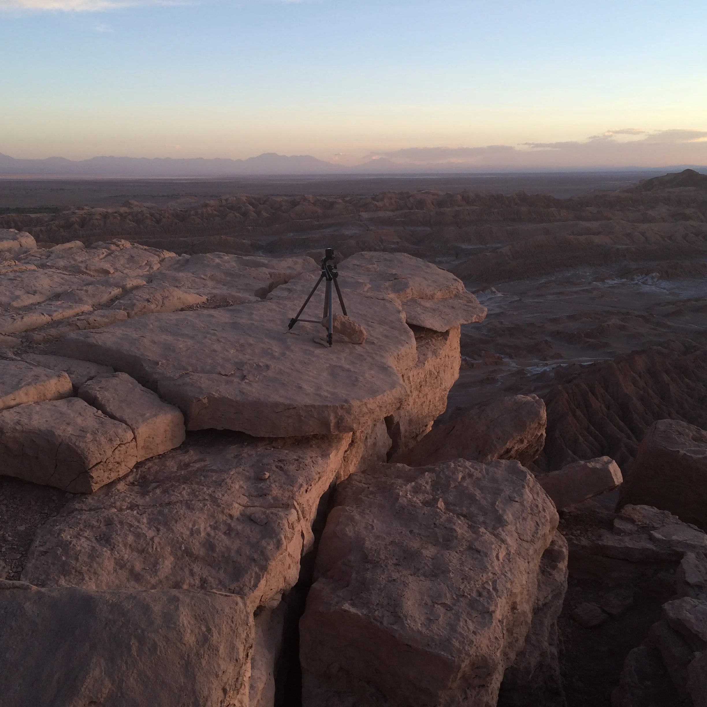
On the next two stops our guide explains how this area was at one time a mine for copper and salt and now it is a National Preserve.  Our last stop is for the sunset viewed from a plateau on the top of a cliff that overlooks a gigantic cavern.  To the west we see the sun set and remake the colors of the valley and the sky. We are told this is the best view so this giant area is crowded with all other tourists and locals. It is a great sunset but for a minute Frank and I are homesick for our beloved sunsets on Sanibel, FL.

After the tour we scout out the restaurants for dinner based on the acceptance of credit cards, our selection turns out great, with piano bar, and we sample the local dish of corn pie.  This is like a thick stew of meat with olives, raisins and cornmeal, baked.  It is delicious, we pair it with our staple avocado salad, this time with lots of hearts of palm, yummy.

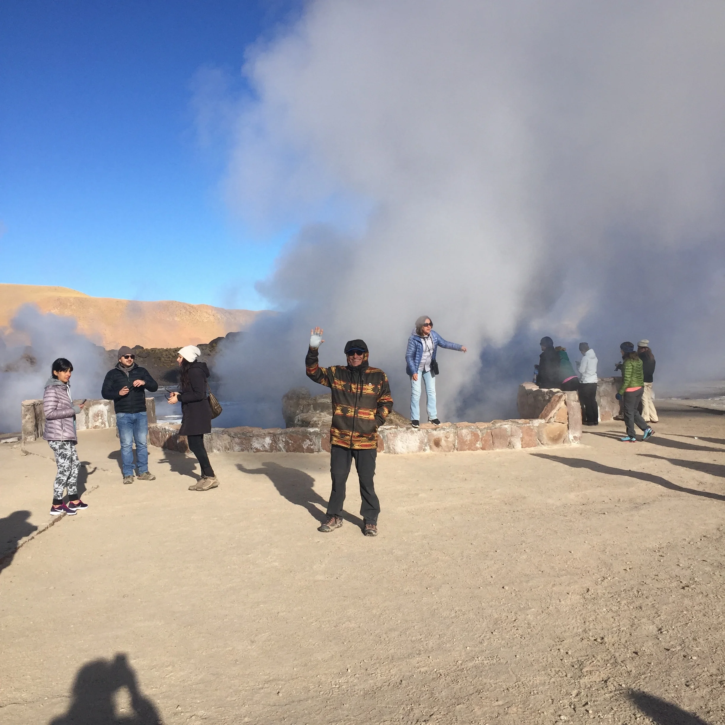
Day two

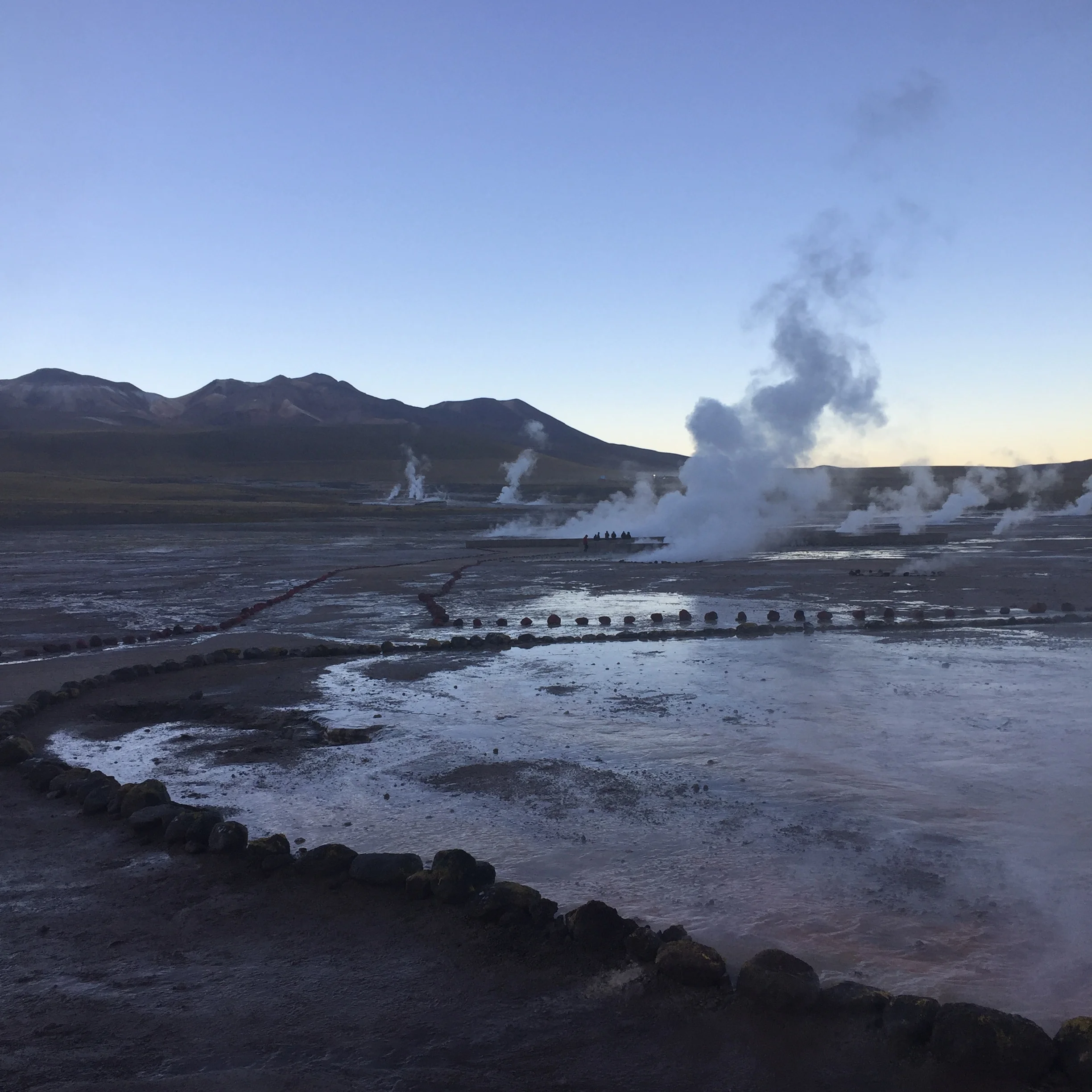
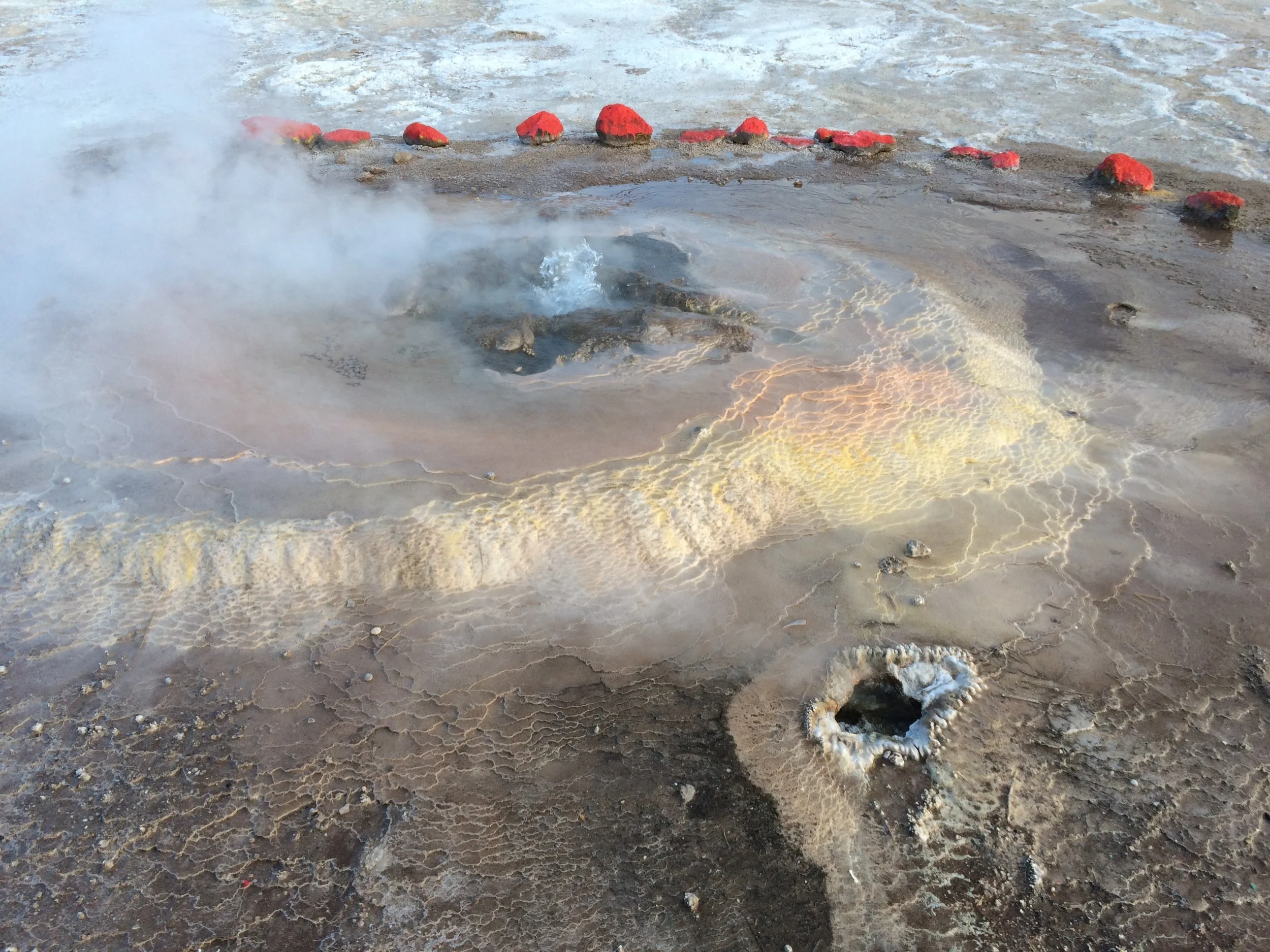
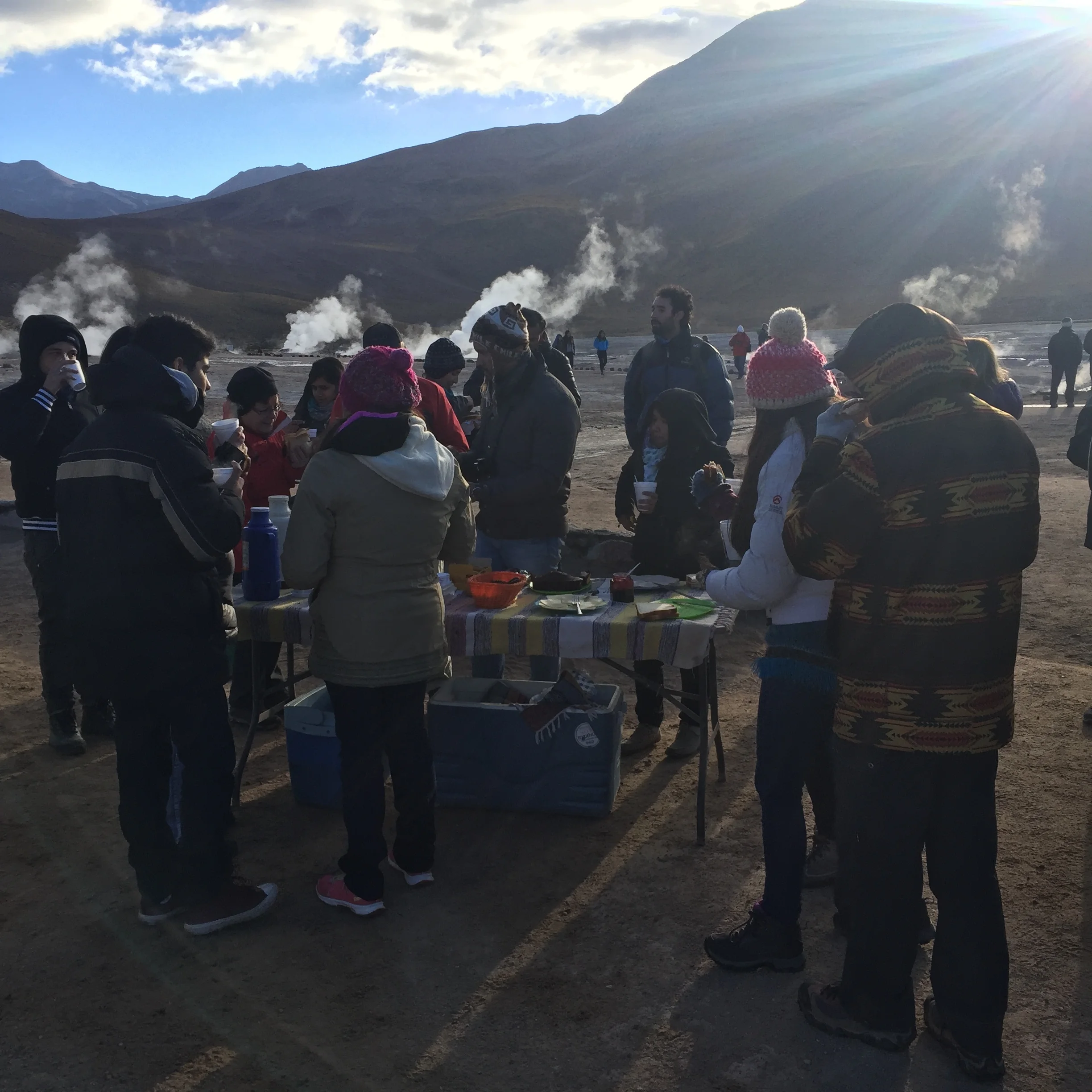
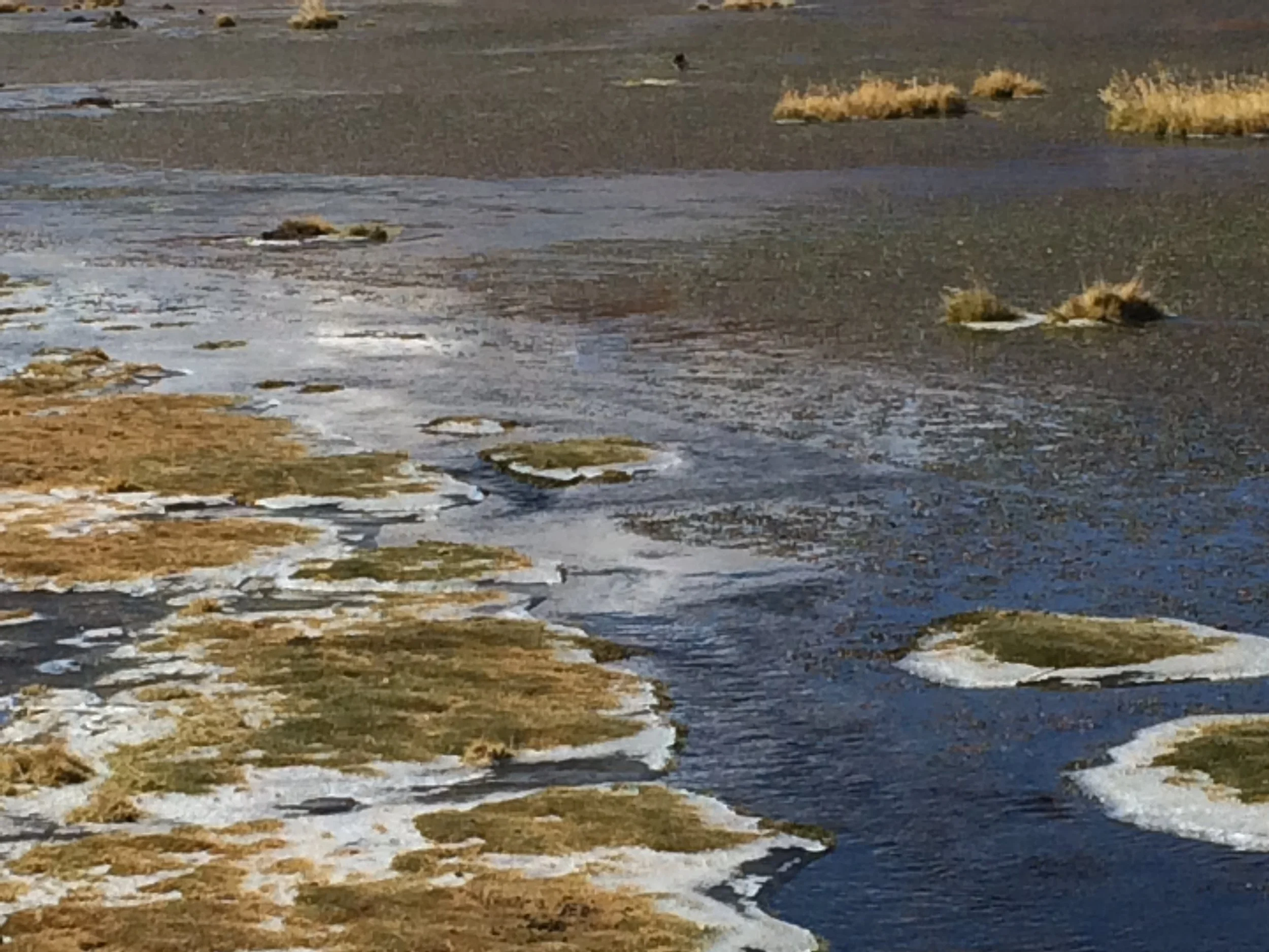
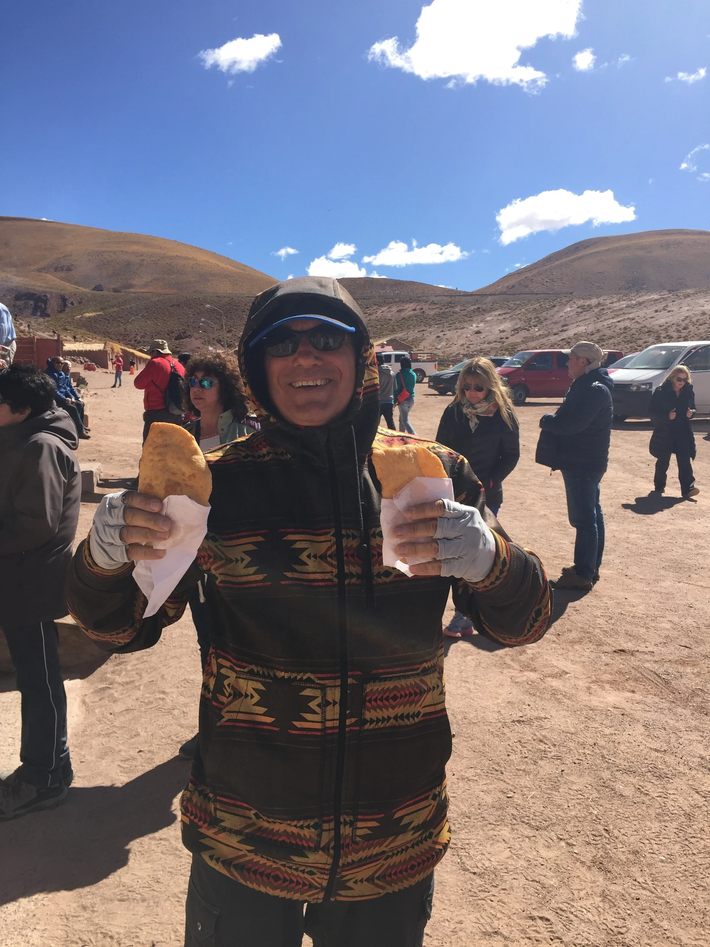
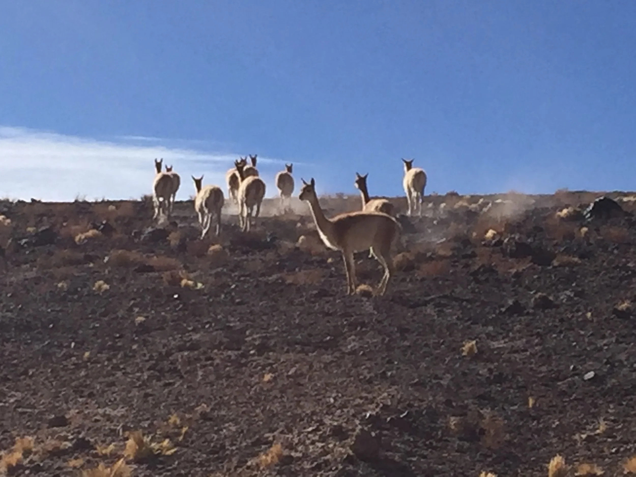
We have a 5:00 am pick up time for today, our larger bus arrives promptly.  At our last stop a high energy guide boards the bus and provides lots of information including instructions to go back to sleep without our coat on (so we will not be so cold at the site), we have a 2-hour drive.  This time we have just one other English speaker, a wonderful exchange teacher from India.  We arrive at the site of the geysers as the sun starts to rise and quickly follow our guide to the first site.  It is cold, really cold, around 10 degrees.  This area is the third largest geyser area in the world after Yellowstone and New Zealand.  It is not a national park and not protected. Several years ago an energy company from Japan attempted to mine the thermal energy and destroyed one of the larger geysers, to repair the hole they ended up filing it in with concrete using the same method of capping used for an offshore oil spill.  The geysers are great; none are large like Old Faithful but still it is a wonder of nature to find boiling water shooting from the earth.  After touring the site our guild sets up a table complete with table cloth and lays out a breakfast of sandwiches, coffee, cake and chocolate.  Frank and I realize that it is Saturday and normally we would be in East Lansing with the same table at a football tailgate, some homesick pangs in the tummy again, but thank you Spartans for the worst season ever, we surly enjoyed geysers in rural Chile over the MSU/Indiana game.  Next we are offered a dip in a hot spring or a second geyser site.  This hot spring is only around 80 degrees, so really just a “warm” spring; Frank and I opt for the geysers.  The next stop is a wet marsh created from the melt off from the mountains.  It is a breeding ground for several endangered bird species, see the pictures below.  Our final stop is at a small local village to sample their unique empanadas.  We thought they were more like a carnival elephant ear with cheese, not a favorite. 

We are back by noon and we must move hostels. We were not able to change our original reservation by a day so we pack our things and trug through the dirt streets looking for the new hostel.  After an hour in the heat of the day we finally find it, check into our room and crash for naps, showers, down time.  We finally have WIFI, but still no computer, so with much difficulty manage some blog work on the IPAD and phone.  The hostel has a good kitchen so Janet ventures into town for food; after an hour she resorts to prepaid sandwiches and oranges.  In the three days we stayed in this town we never found a food store, just small party type stores selling junk, but then the high priced restaurants were really good.  Thankfully we did find a working ATM and withdrew the maximum on both of our card.  The money is Peso’s in large denominations, $100,000 pesos is $153. The maximum withdrawal is $200,000; in a cash society the money goes quick.  The local people blamed the Bolivians for the money shortage, their claim was the Bolivians come across the border every day and withdraw all the money.  We think that 6 ATM’s is not enough for 11,000 tourists.  Too bad if we had more bucks, we could all spend more!!

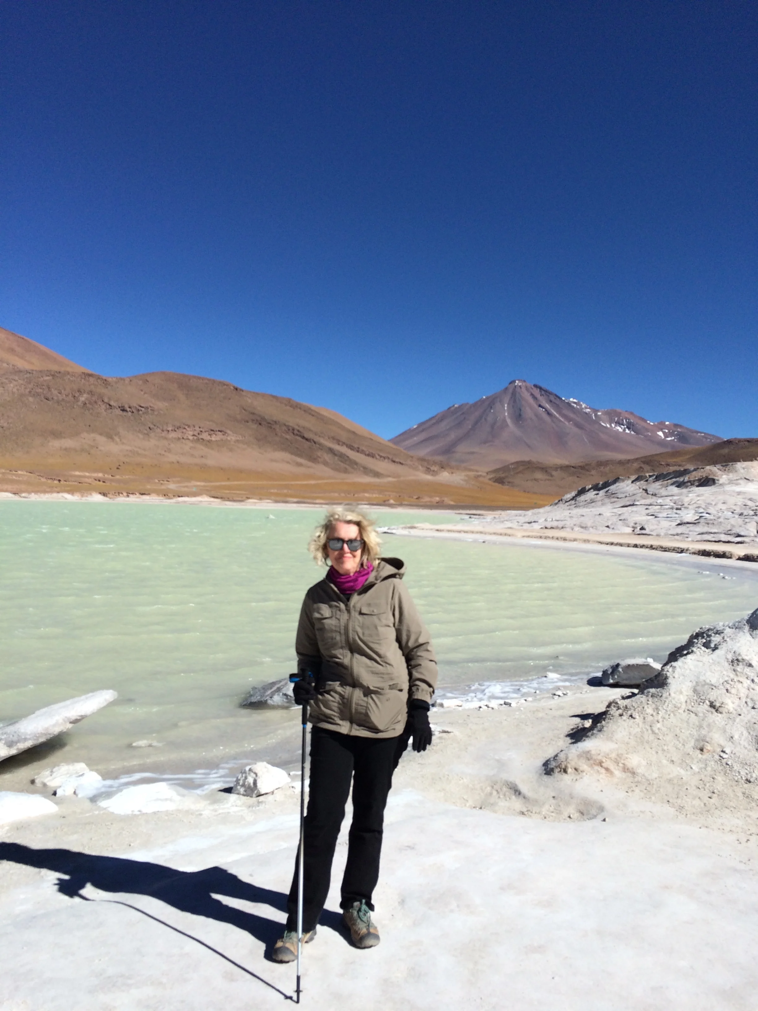
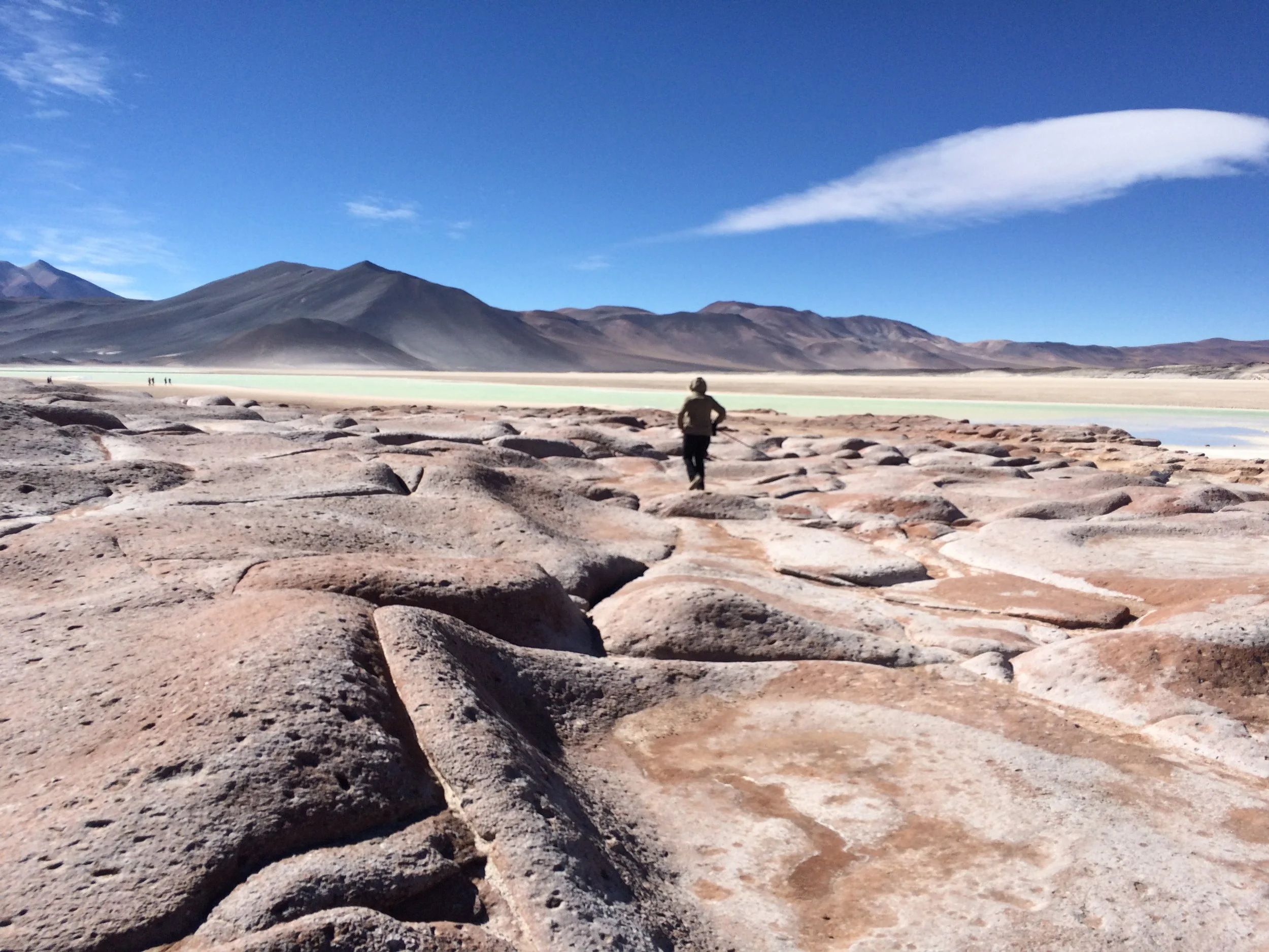
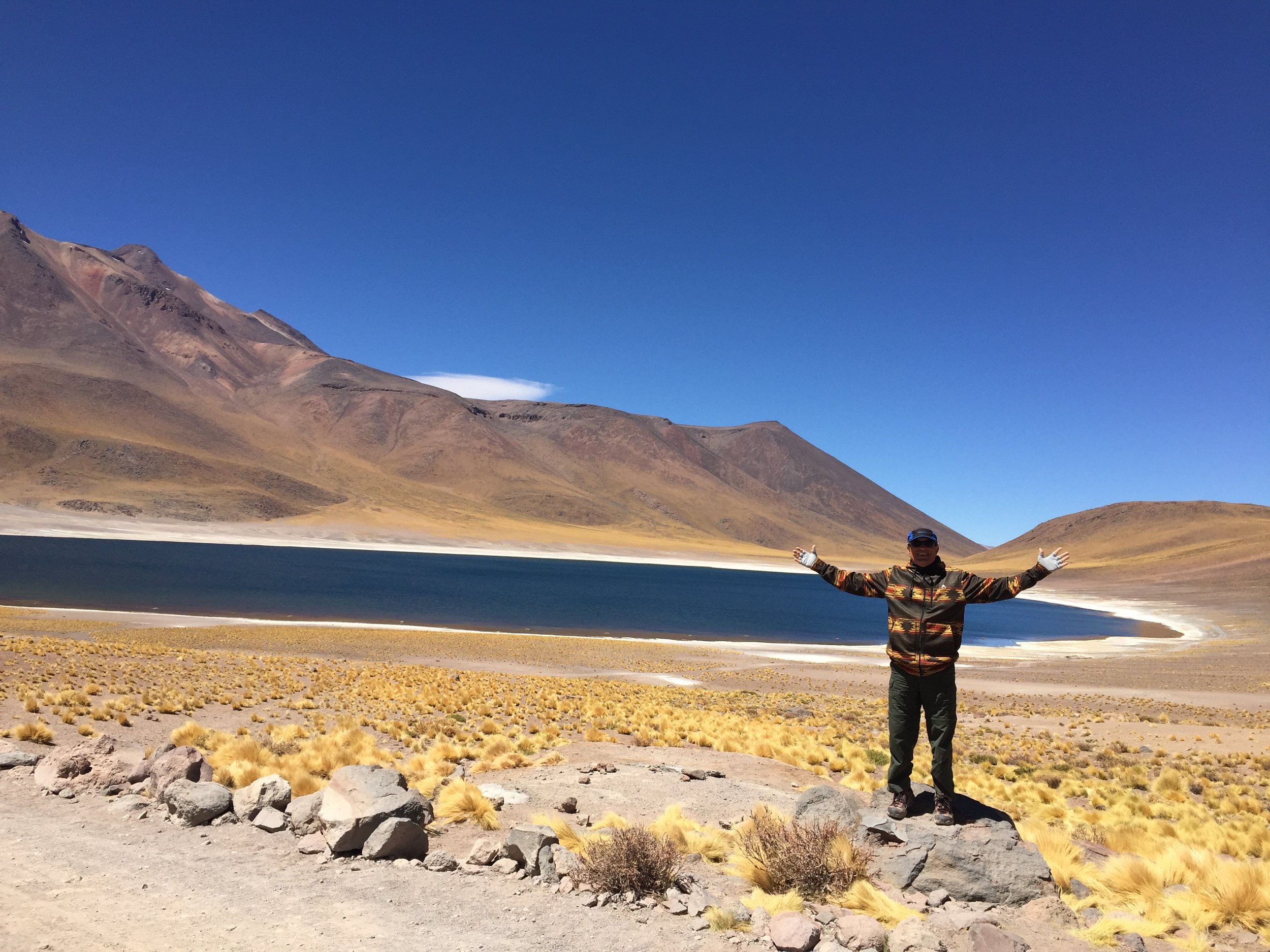
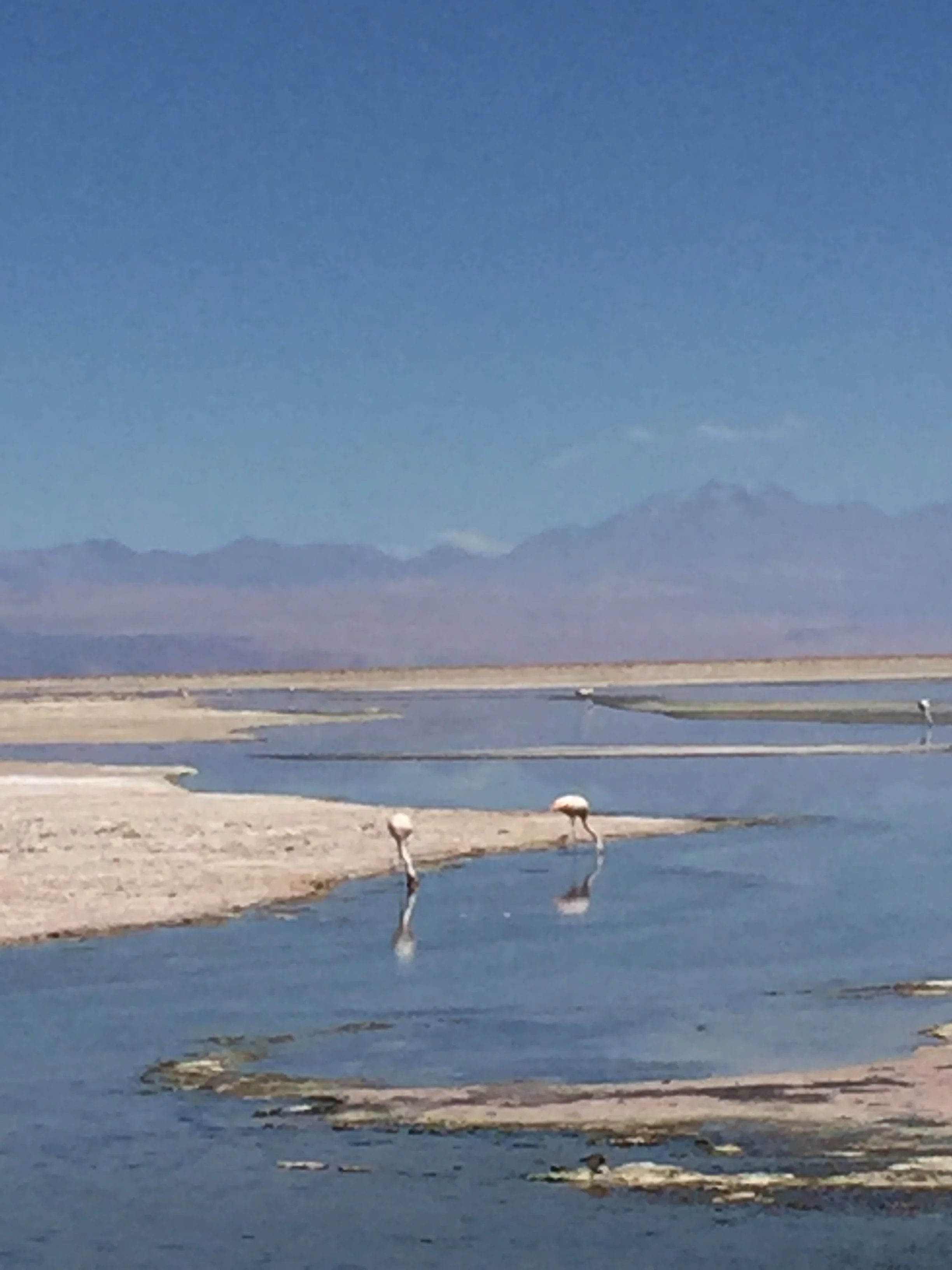
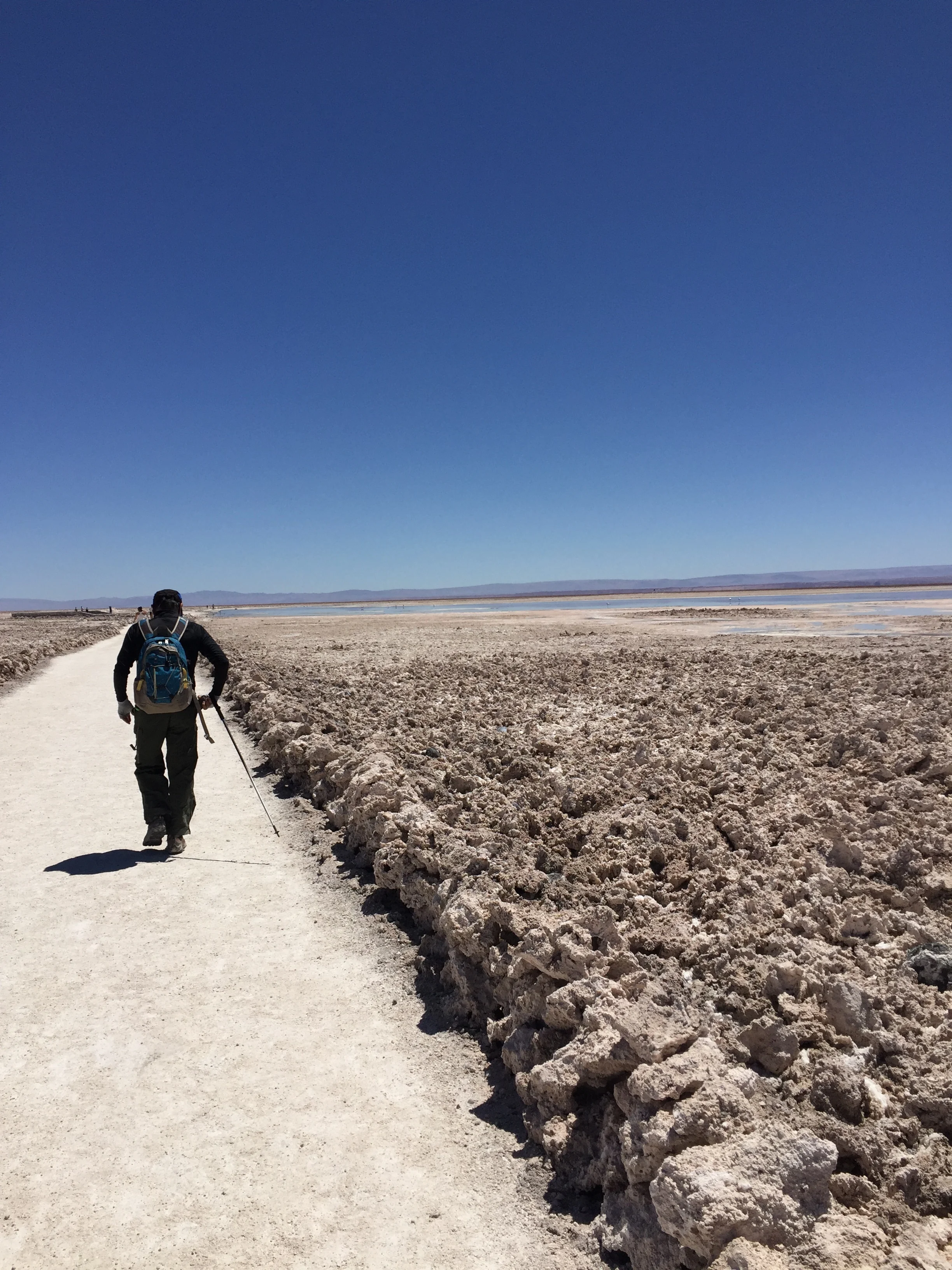
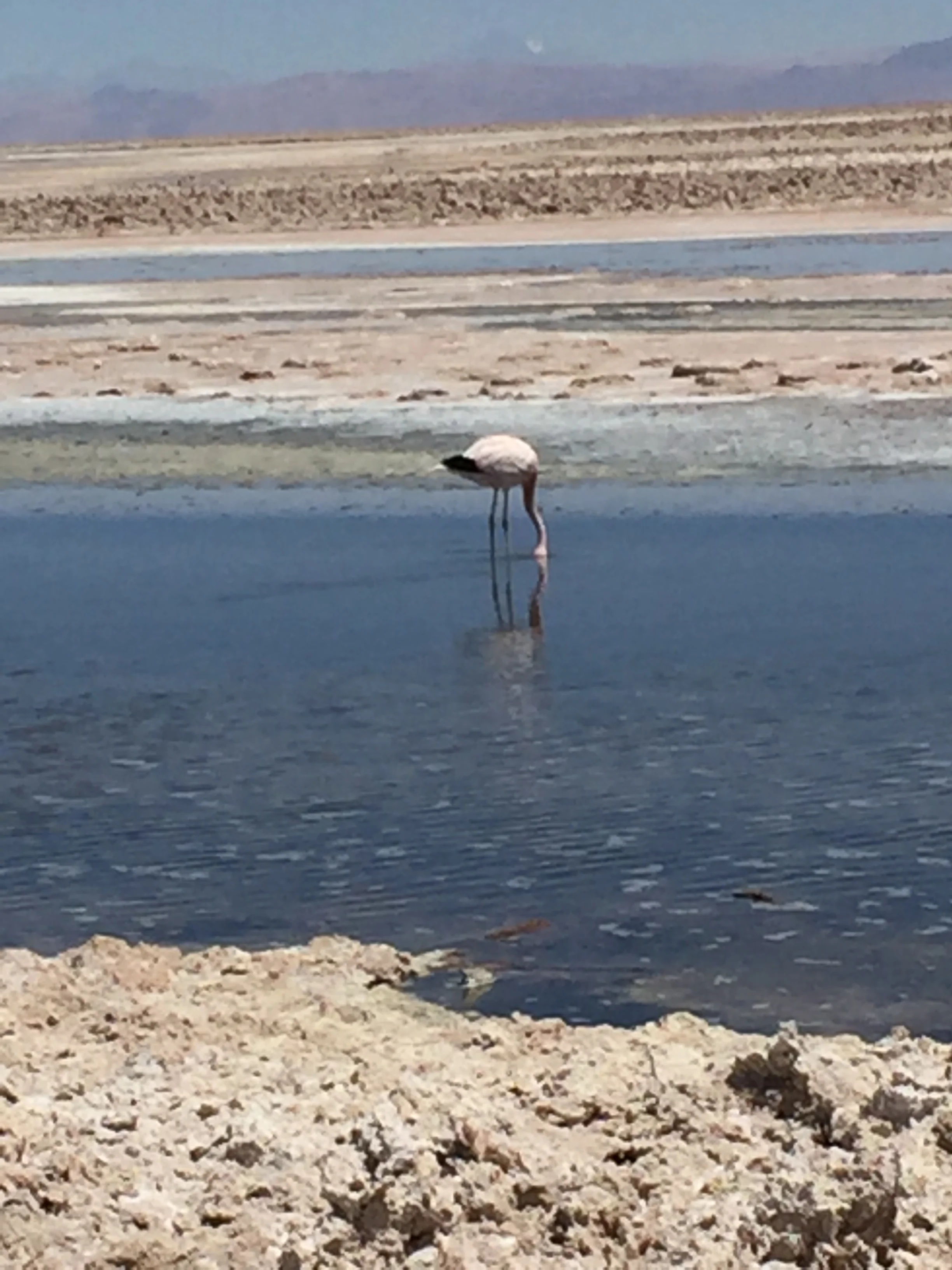
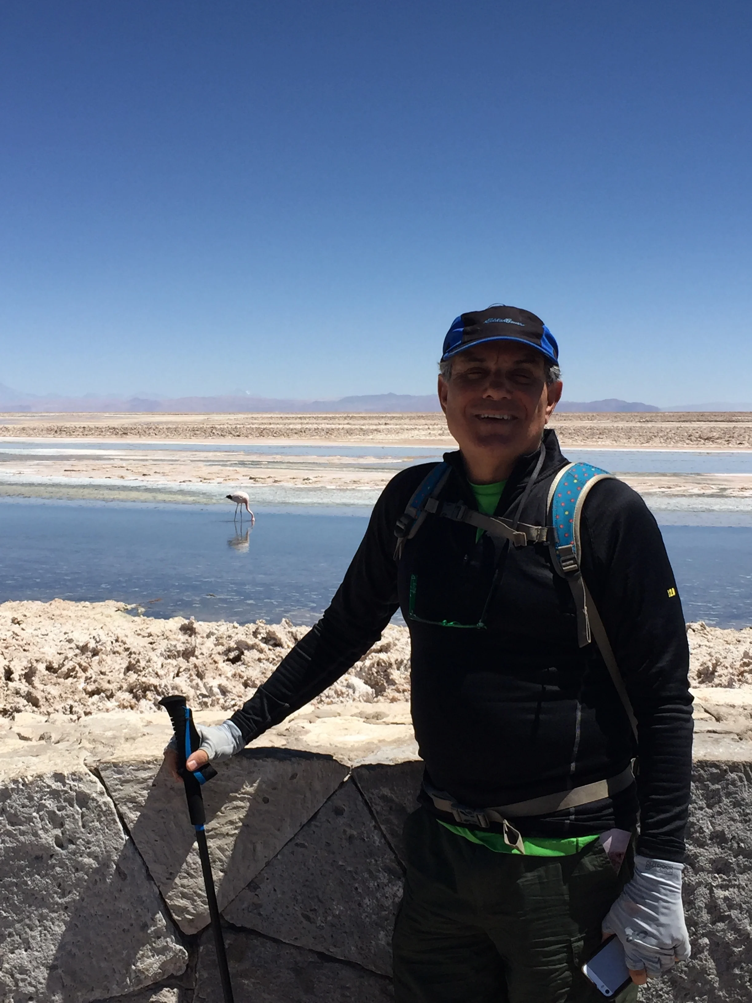
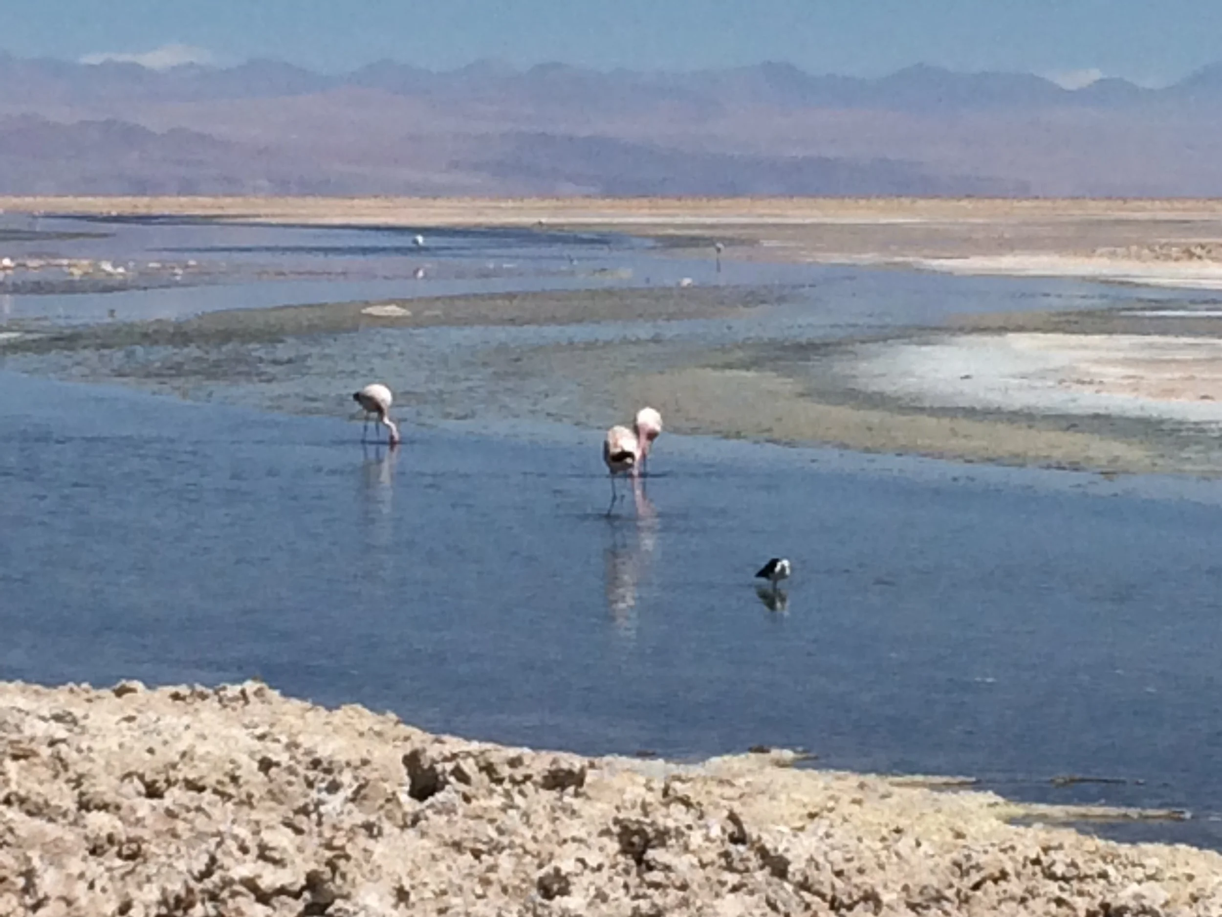
Our last day has an easy 7:00 am pick up but this time we spend an hour in town going from hostel to hostel, we never did find the last hostel and 2 tourists were out of luck this day.  We have the liveliest tour operator ever; a rock and roller, a drummer too, he is an engineer by trade who made a life change to spend his days in the desert with us.  Our group is small, just 10 of us and we are the only English speakers.  We have a very long drive and finally end at two amazing lakes, the water seems to change color depending on the angle you look at, they are surrounded by mountains and volcanos.  This is truly a unique paradise. After touring the lake, we are treated again to breakfast, complete with hot coffee and chocolate.  Back on the bus our guide and driver keep trying to get music to sync and when they were about to give up, I offer my IPhone and cable and low and behold it works.  Our guide starts with one of our rock play lists and before you know it he is dancing in his seat with some heavy guitar and drum air playing.  For the rest of the day when we were not at a site we were rock and rolling in rural Chile to our US music.  We wonder how the Spanish group feels about Bon Jovi. We stop for a great group lunch and with help of google translate we have a good discussion with our fellow tour mates, they ask us about the US elections and share they opinion of how crazy they think Don Trump is.  This has become such a common occurrence.  Our last stop is at a vast salt flat, although it is not flat.  As far as they eye can see the landscape has chunks of salt around the size of basketballs.  There is a deck walkway leading to a large salt marsh full of Flamingos, this is really an odd place, very hot and windy.  Why are these Flamingos here in this difficult landscape? There is shallow open water that is filled with micro shrimp on which they feed and pretty much ignore us. There are 3 variety of Flamingo in Chile; 2 types are here.    

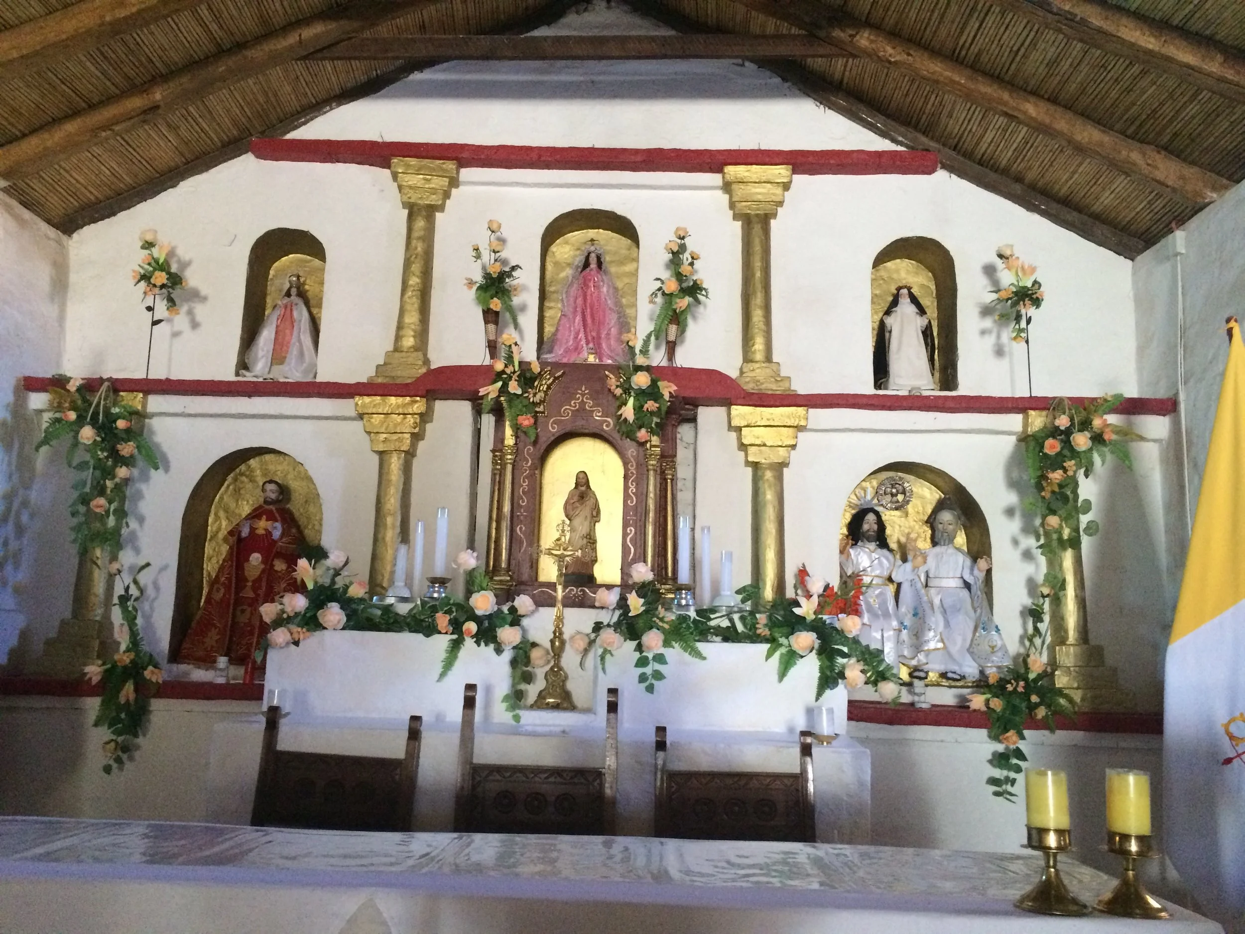
We end our tour with a short stop in another small town, 300 people live here but a great church, see the picture below

We have another great dinner before our final tour in San Pedro is for star glazing.  According to our guide book, this area is the best place to see the stars in all of the Southern Hemisphere.  We are picked up at 9:00 pm by bus and transported to a private home of a local Astronomer and his wife.  They live outside the town surrounded by the countryside.  The tour starts in their backyard with a glass of Chilean wine, chair and blanket (it is cold again) and an explanation of the stars, we break up into English speakers and Spanish speakers.  The English speakers are with his wife.  She takes us in the house for a full review of the consolations and a short video, we then have hot chocolate and cookies.  We go back outside and our Astronomer guides us through 4 high power telescopes, pointing out Mars, Venus, Saturn, each of the brightest stars, nebula, and consolation which coordinates have been programed into the scopes. Then we are back with his wife and using a laser pointer she reviews all of the consolations with their Greek mythology background, ie. Scorpion, Taurus the bull, etc.,  We need to brush up on our constellations (no Big Dipper here).

Our final morning is back up early for our bus to the Airport, yes, this time we are FLYING to Santiago, we got lucky and found flights for $70 per ticket.  The bus is 25 hours, an easy decision to fly.  

Good bye desert and small village, next stop Santiago.