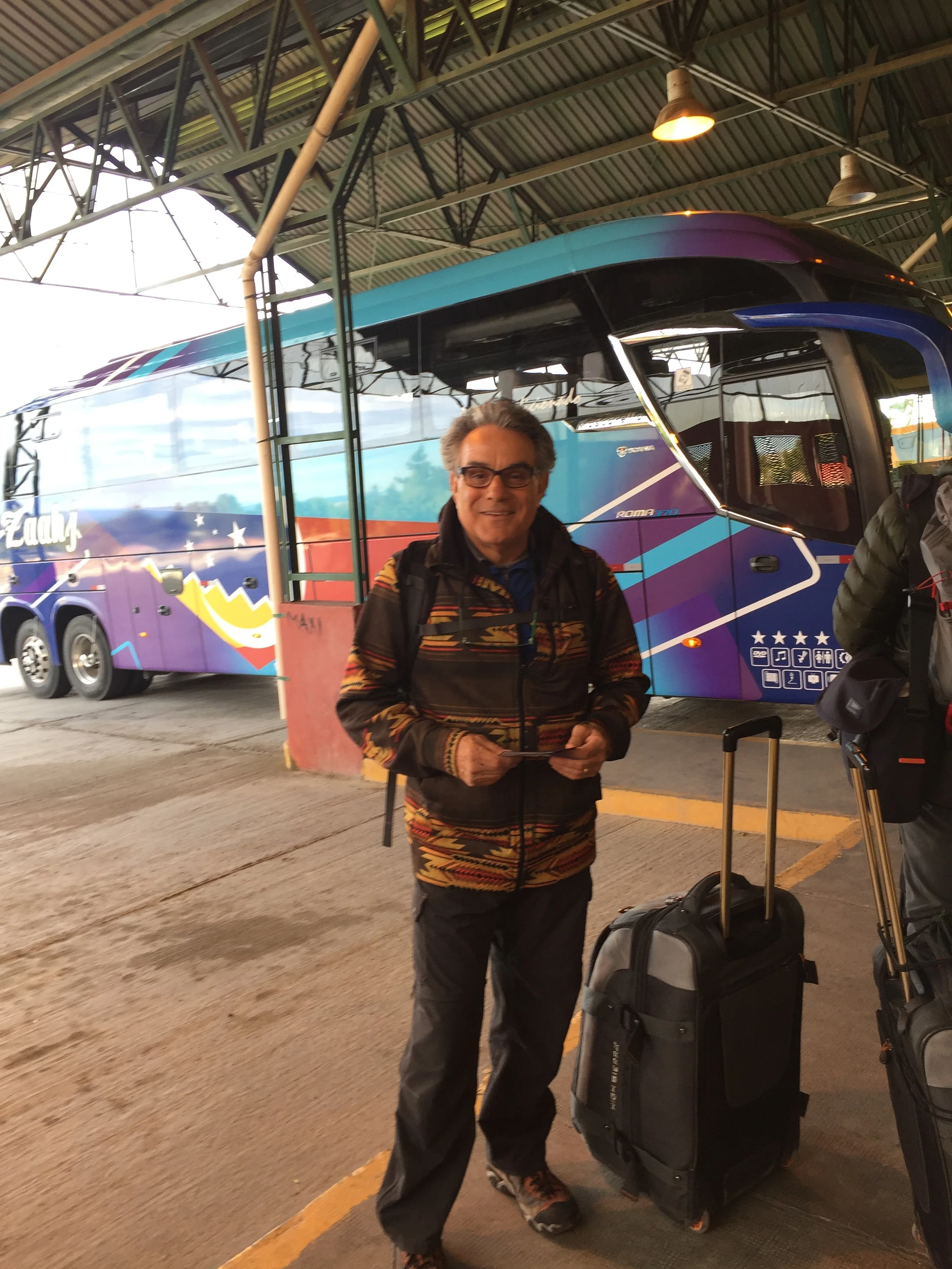
Frank at the bus stop

The town
To get to El Chalten we took a 3 hour bus trip slightly north of El Calafate. This is a small town surrounded by shear cliff plateaus with some valley pass throughs formed by the river valley! Population 1200. We figured no credit cards so we hit the ATMs several extra times in El Calafate to get a lot of pesos before we left. This is a trekkers paradise, surrounded by a National Park. We were introduced to the city when our bus actually stopped at the National Park office where Rangers discussed the trails, camping, park rules, and the need to check in if you are going to do something crazy like climb Mt. Fitz Roy or Mt. Cerritos Torres. The ranger advised that the glacier water in the lakes and streams was potable. He said “ I drink this water every day and I’m still alive”. The town is rustic but with cute stores and restaurants inserted among corrals and new construction projects. The favorite stop for the masses this weeks seems to be Beers and Burgers. Ourselves, we have been cooking at our 2 story cabana called Austral Cabana, with full kitchen and the bedroom up top.

Gelato shop
Our favorite stop is Blanco Bruno Gelato shop. The coffee is strong, which means great , we get multiple flavored ice creams, and most importantly working internet. This is a nightly ritual. We miss you guys and the working internet allows us to keep in touch. Our hostess is very helpful with trekking tips and we have undertaken 4 treks. The first was an easy total 3 mile walk to a waterfall, the second was a rigorous forth and back 19 miles, the third was a one way 12 miles and the final trek was thought to have been more of a relaxation exercise at 3 miles to a mountain lake with another glacier, but actually was very elevated in the short distance.
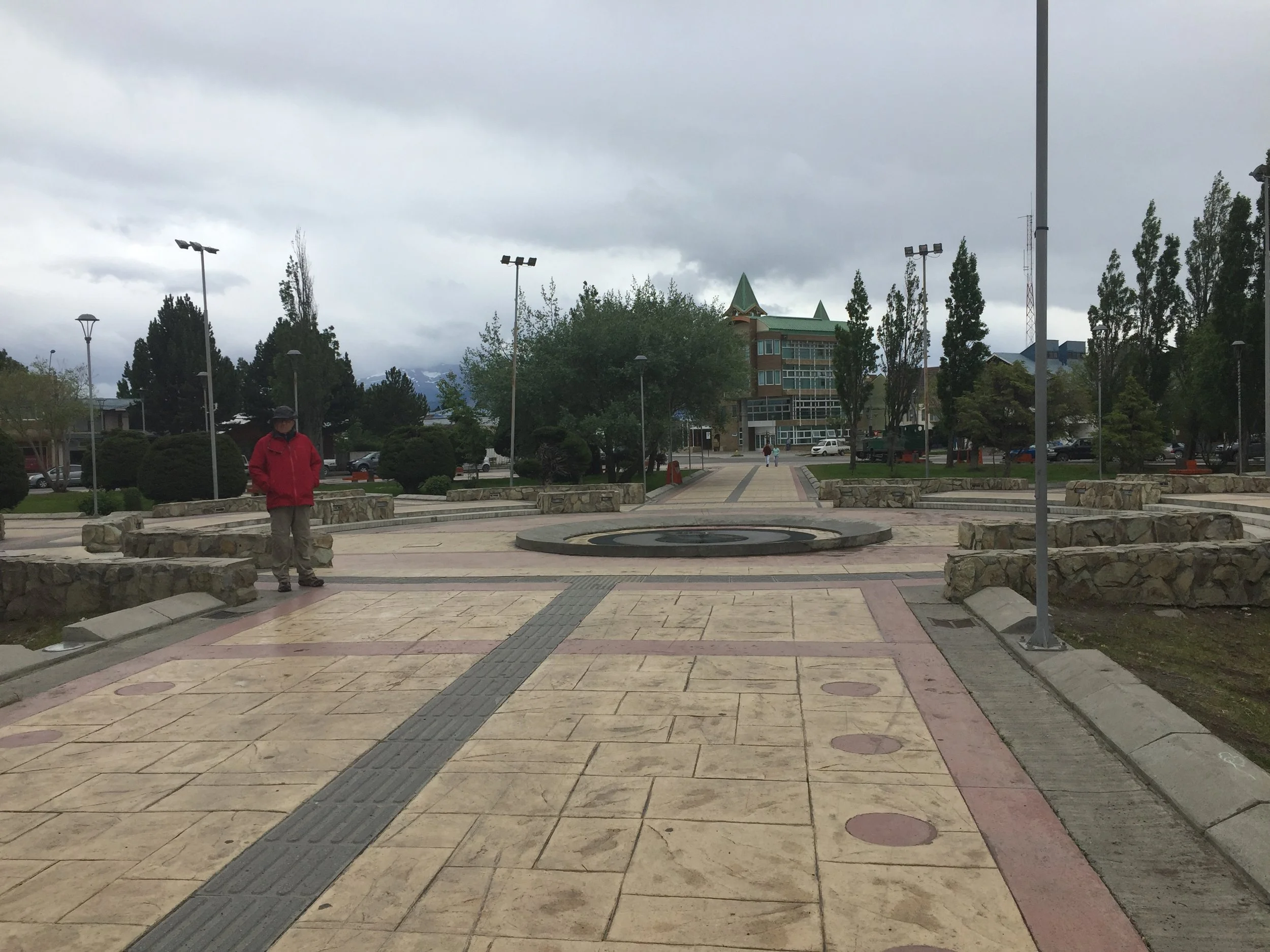
Town Square
The first trek was an easy 7 miles round trip to a nice waterfall with a running creek. Janet had a pedometer to track our distances. Here we could see first hand the clarity and supposed purity of the running water. It was nice to walk a little to warm up the legs for tomorrow. We had a kitchen, so we went to the Supermacado to buy ingredients. Janet prepared veggie pasta, another wonderful dinner on the road. We then organized our day pack for the next days trek.
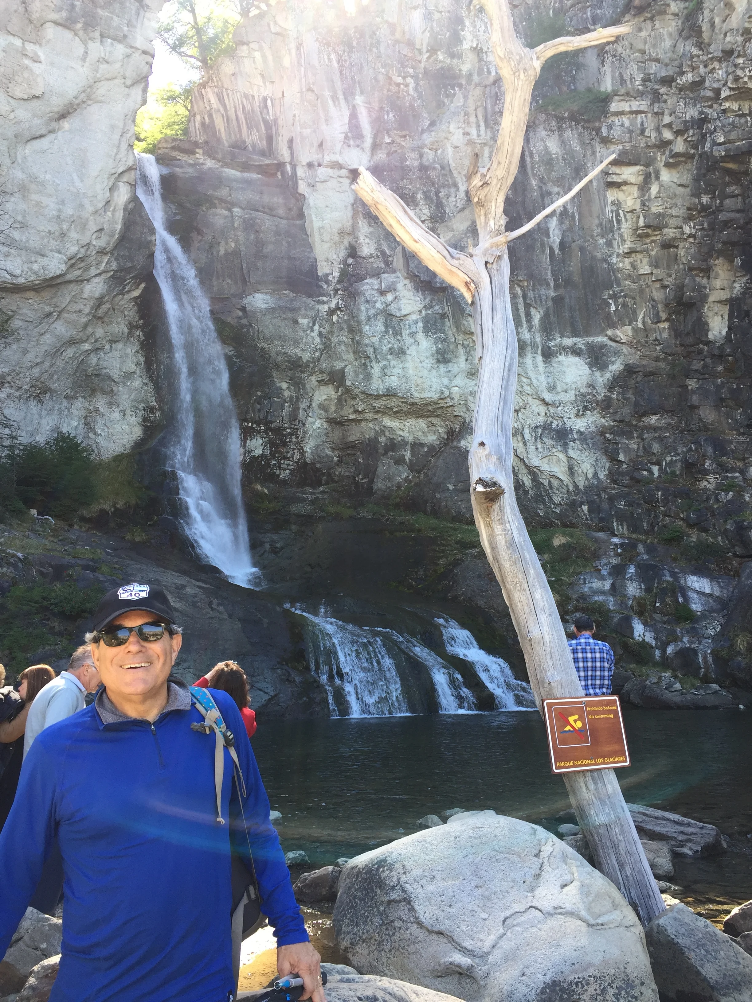
Warm up waterfall trek
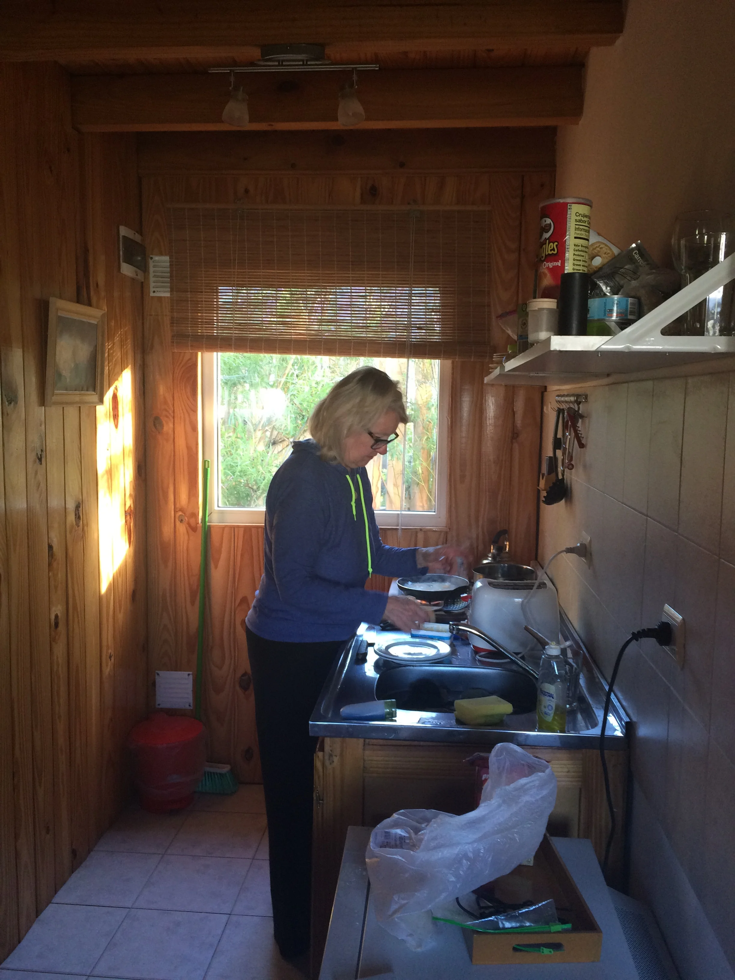
Cooking at our cabana
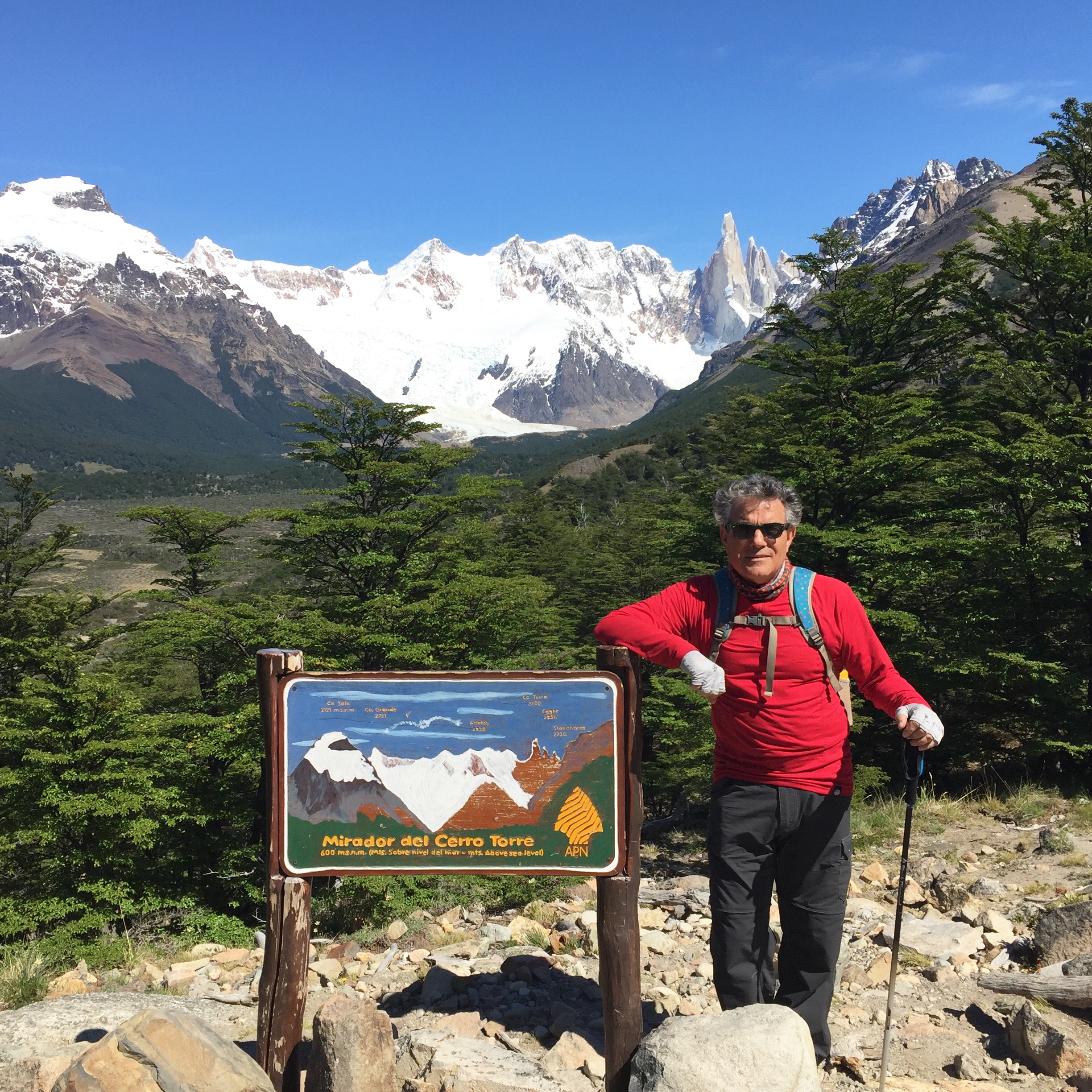
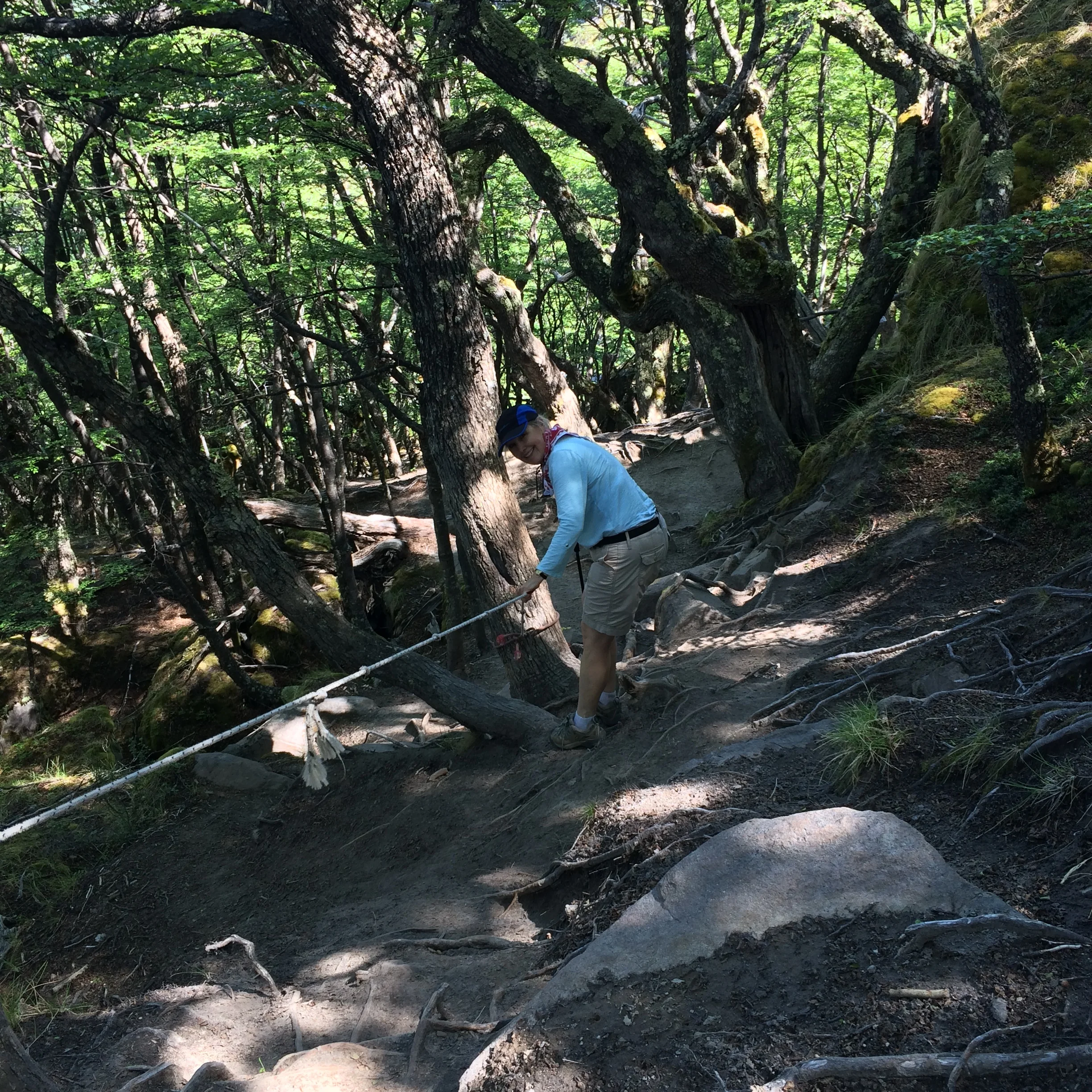
This was the journey to Cerro Torre, 3100 meters high, the second tallest mountain in the area. We started the trek by walking from the Cabana directly to the trailhead. The elevation raised up then flattened and turned and rose again until we crested the hills and came in view of the River Fitz Roy and the river valley. We trekked the crest of the hills that followed the lake bed, at times we were walking on rocks that had been deposited on shore.

The hike up
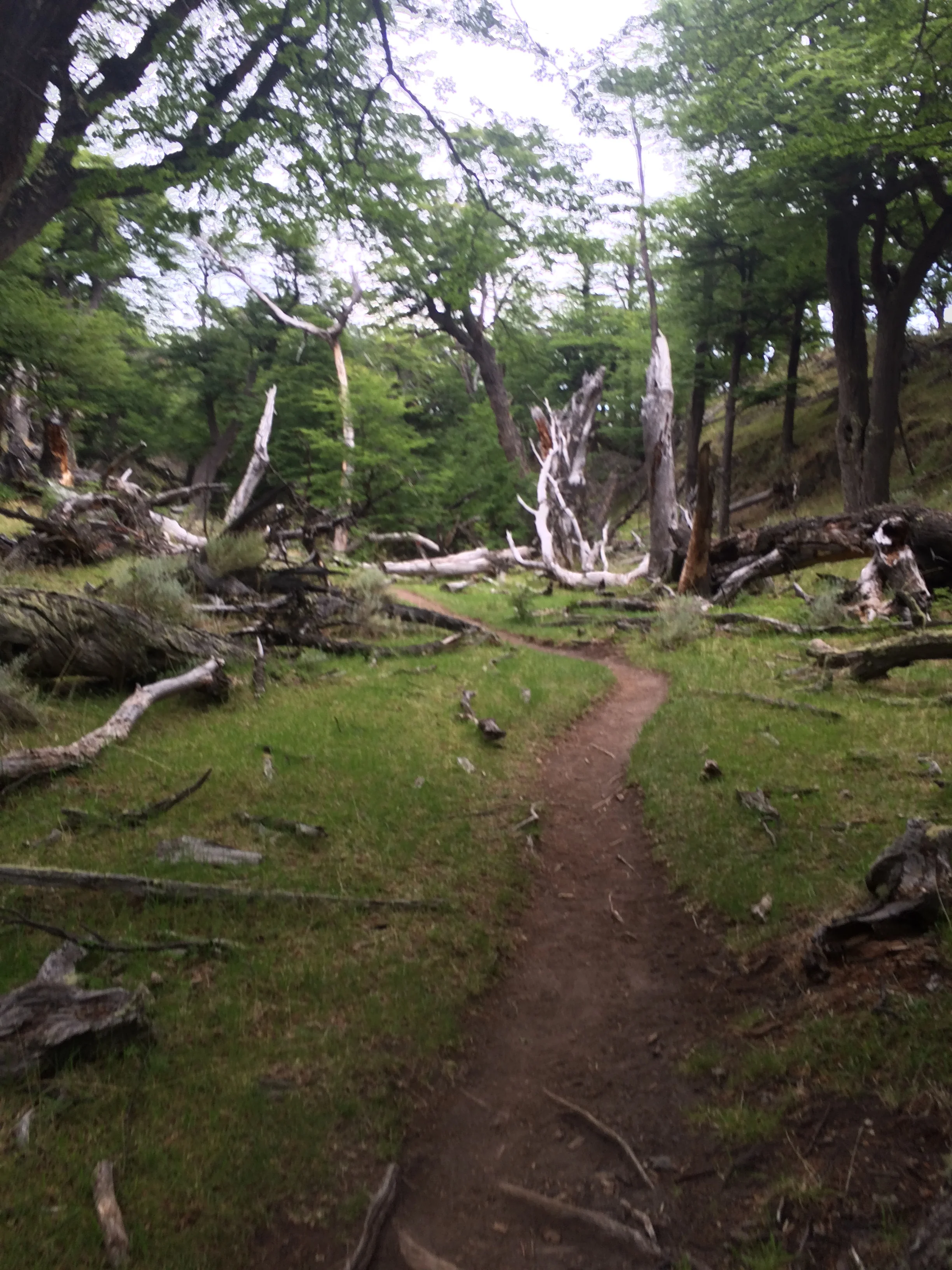
There was all different terrine and views as we worked our way toward the target which was Laguna Torre. The final leg took us past a dead forest of white trucked trees. This was almost 12 KM or 8 miles and we had to go back. The total trek was actually 16.5 miles total per the pedometer.
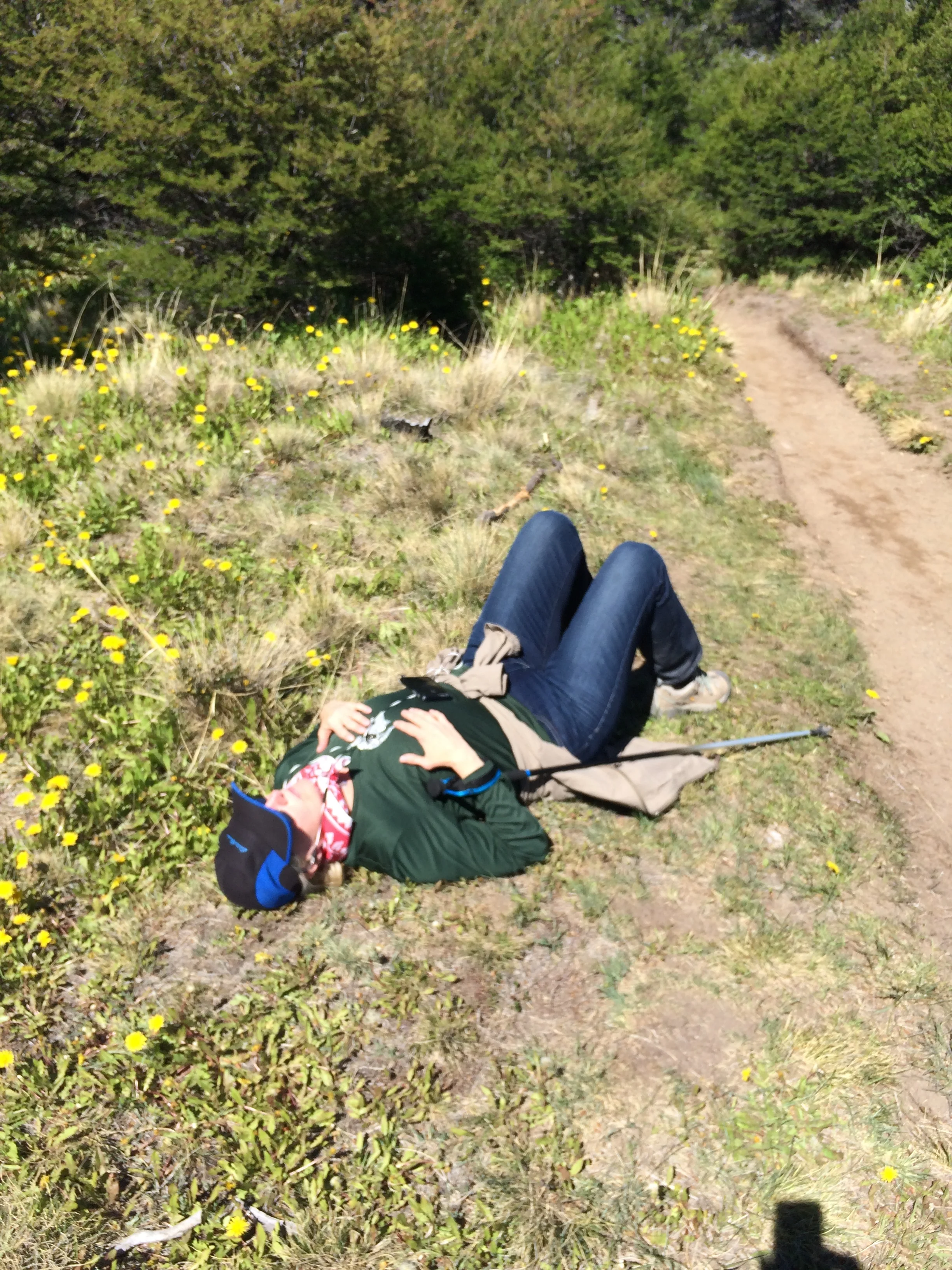
A much needed rest
Here is were Janet's injured ankle started to really bother her. We stopped for a rest and thought about turning back, but we decided to continue.
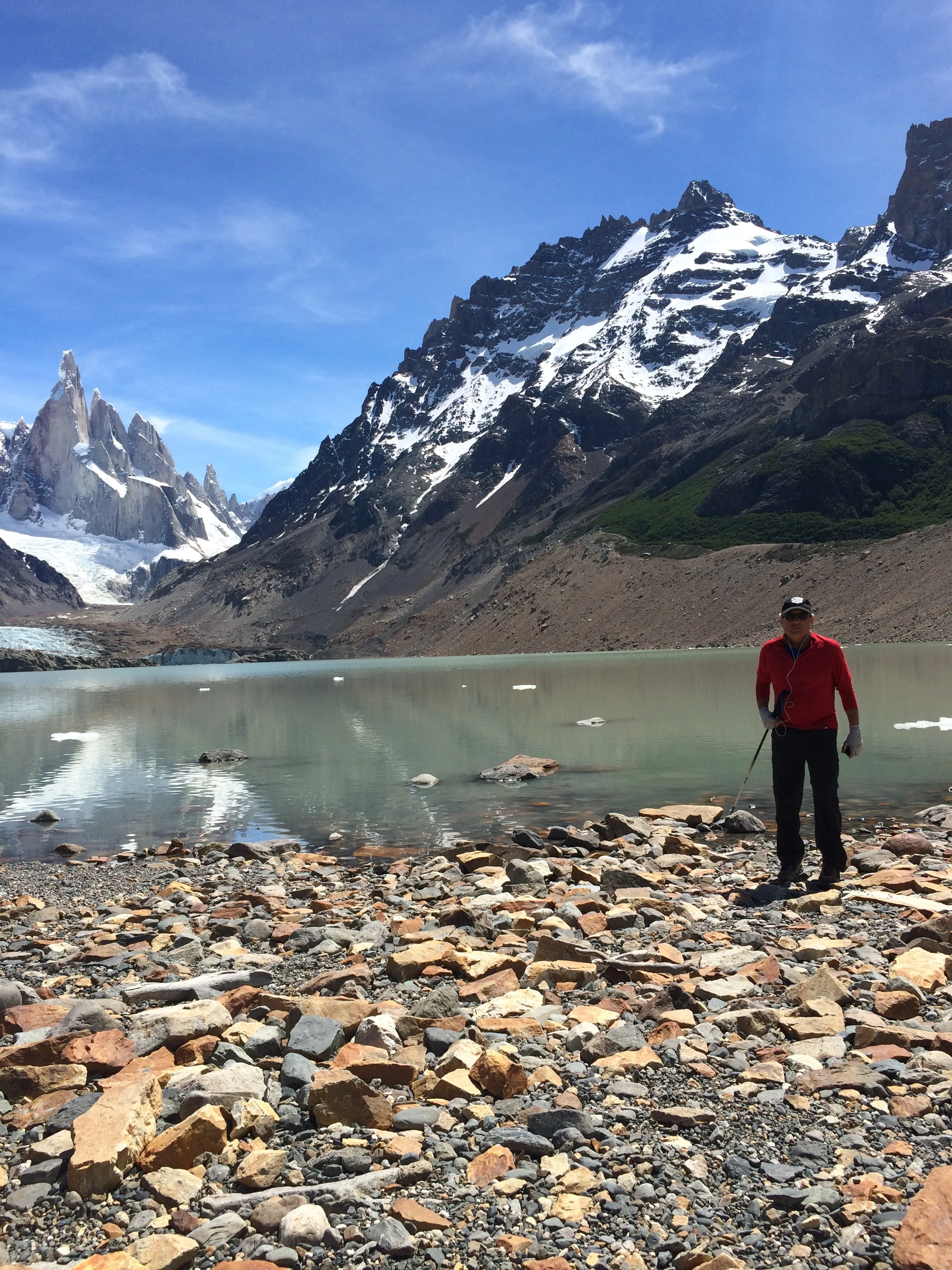
It turned out we had one more hill to climb which was the crest of the crater that surrounded the lake. Our first view was a blazing milky blue lake that included floating blocks of ice. We sat, with others, in the hot sun and had the lunch we carried. We were very thirsty and made the decision to fill up our canteen with lake water. It was very cold and refreshing, and I will admit it has a slight gesture of sediment or the milk of the ice.
The view at the top
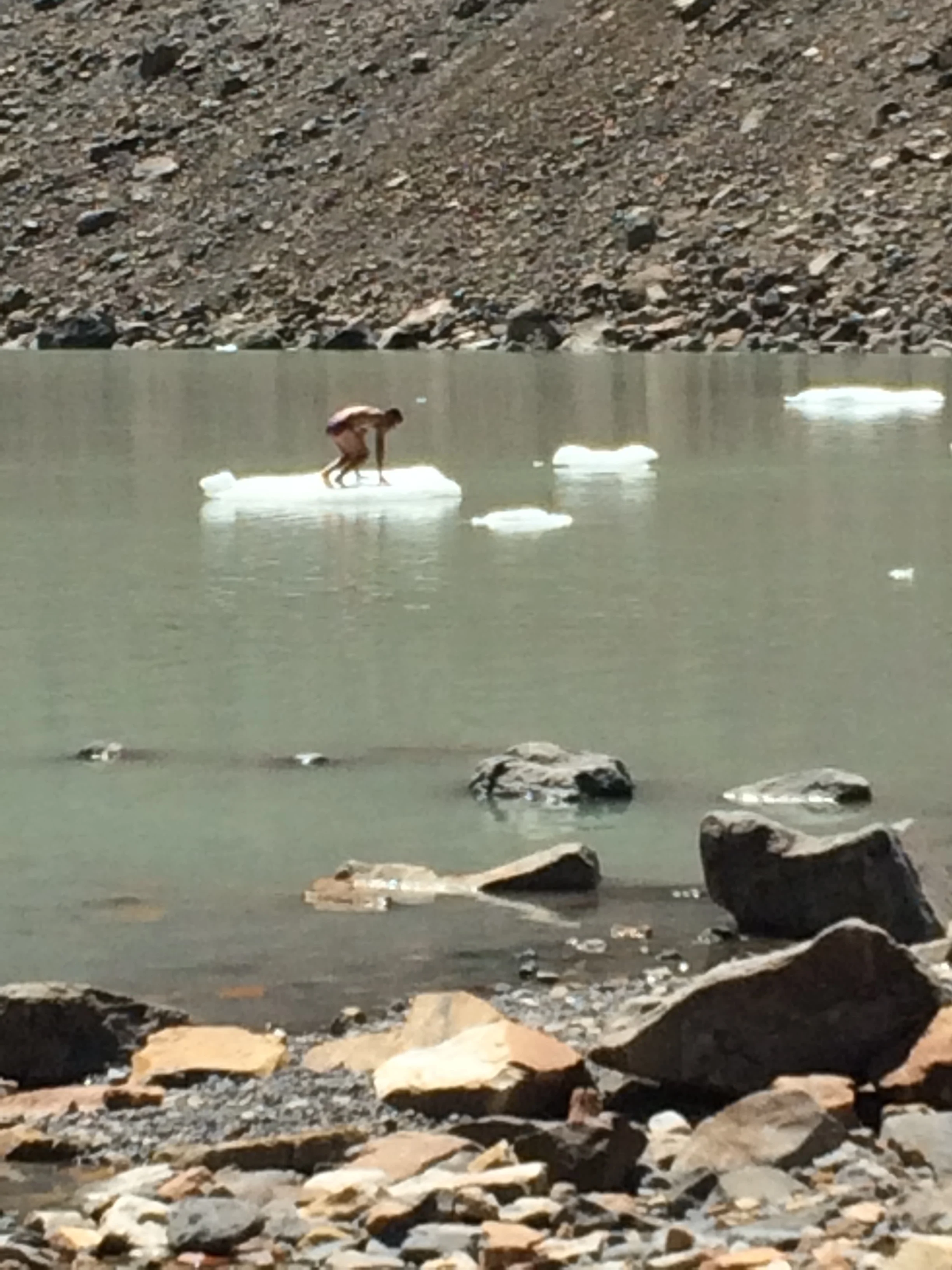
An iceberg raft
Luckily, we filled our canteen before a fun loving guy striped to his undies and jumped into this freezing cold lake. He swam to the small berg and pulled himself up top. The small crowd around started clapping and hooting, and some, I think, wishing they had done it first. He was lifting his feet sporadically due to the cold. The scene reminded me of an old Boy Scout rhythm “ ooh, ah, my feet hurt, ooh ah” . And you know, my feet kind of did hurt after walking 8 miles to get there. Enjoy some pictures of the trek, which shows Mt. Cerro Torres and Mt. Fitz Roy, the latter named after Capt. Fitz Roy who travelled with Charles Darwin to explore Patagonia. When we retrace our route we did again go to the rivers edge and refill both canteens, man was it cold and good when we needed it. Finally, we arrived back in El Chalten, a total excursion of 19 miles. We were lucky enough to pass a small trailer stand before entering the town that sold us ice cold Spite pop, it never tasted better as we were again parched. I guess Janet had been dreaming of orange pop for awhile but it was not available.
For a couple of non-hikers we did we feel great at our accomplishment, sore and tired too, but really satisfied. We finished the night by getting some ice gelato at a favorite cafe and using their internet service.
End of the trails and happy
Frank at the base of the trail
The next day we trekked to the base of Mt. Fritz Roy, 3400 meters high, the king of the area. Rather than the normal route, our hostess suggested another route that we might enjoy, still 26 KM, but more downhill and one way. The plan was to motor 15 KM up the road and start at that trailhead. Our legs were a bit sore, but as we worked and warmed up we were ok. We trekked in woods by the River Blanco for 5 KM and connected to the main trail to Fitz Roy.
The trail to Fitz Roy
This was another 6 KM to our goal of reaching Camp Poincenot near Fitz Roy. It was not sunny, but overcast, so the heat of the trek was less. We again saw some wonderful sights and combinations of mountain, river, forest and plains that created panoramic vistas.
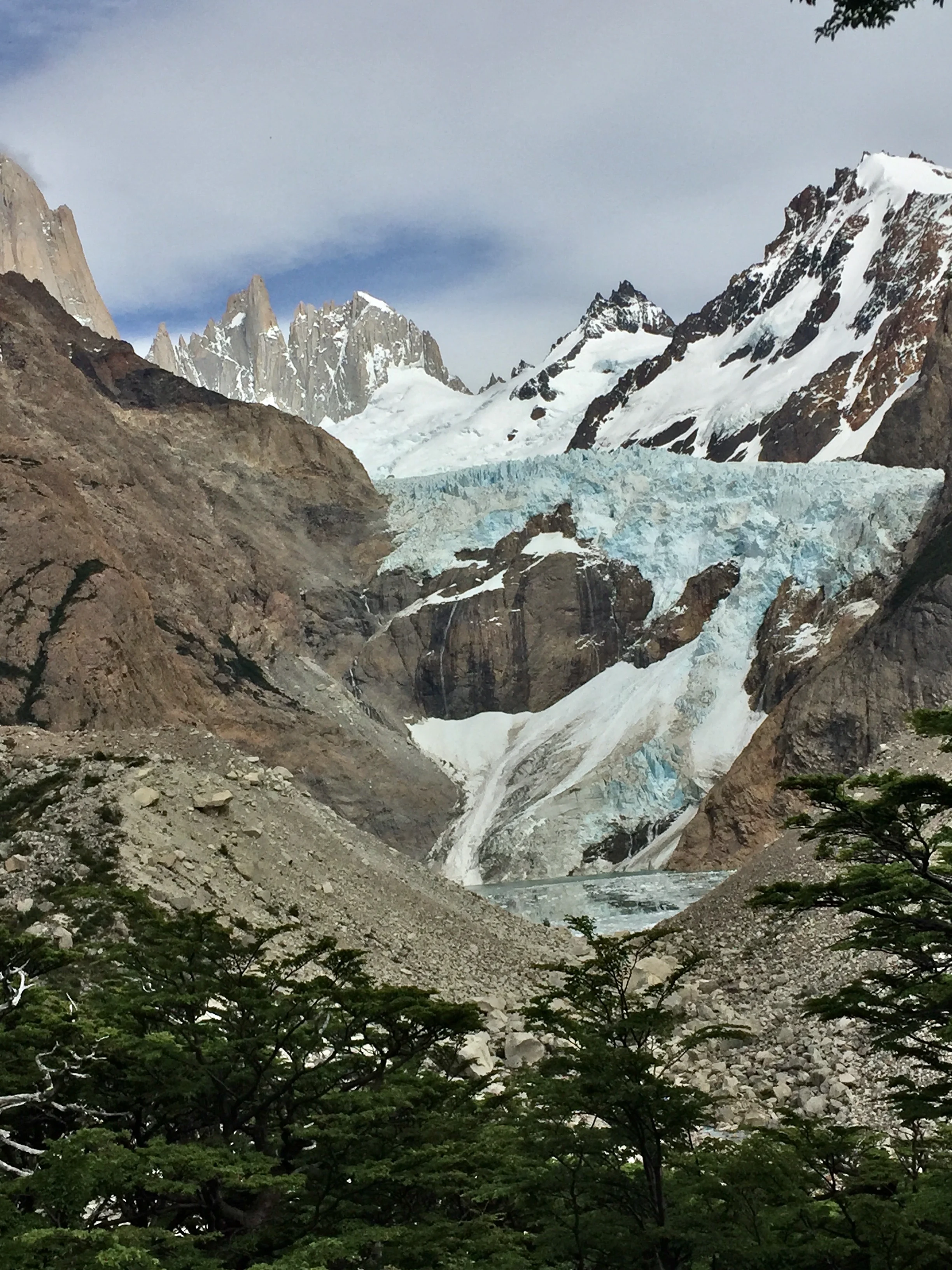
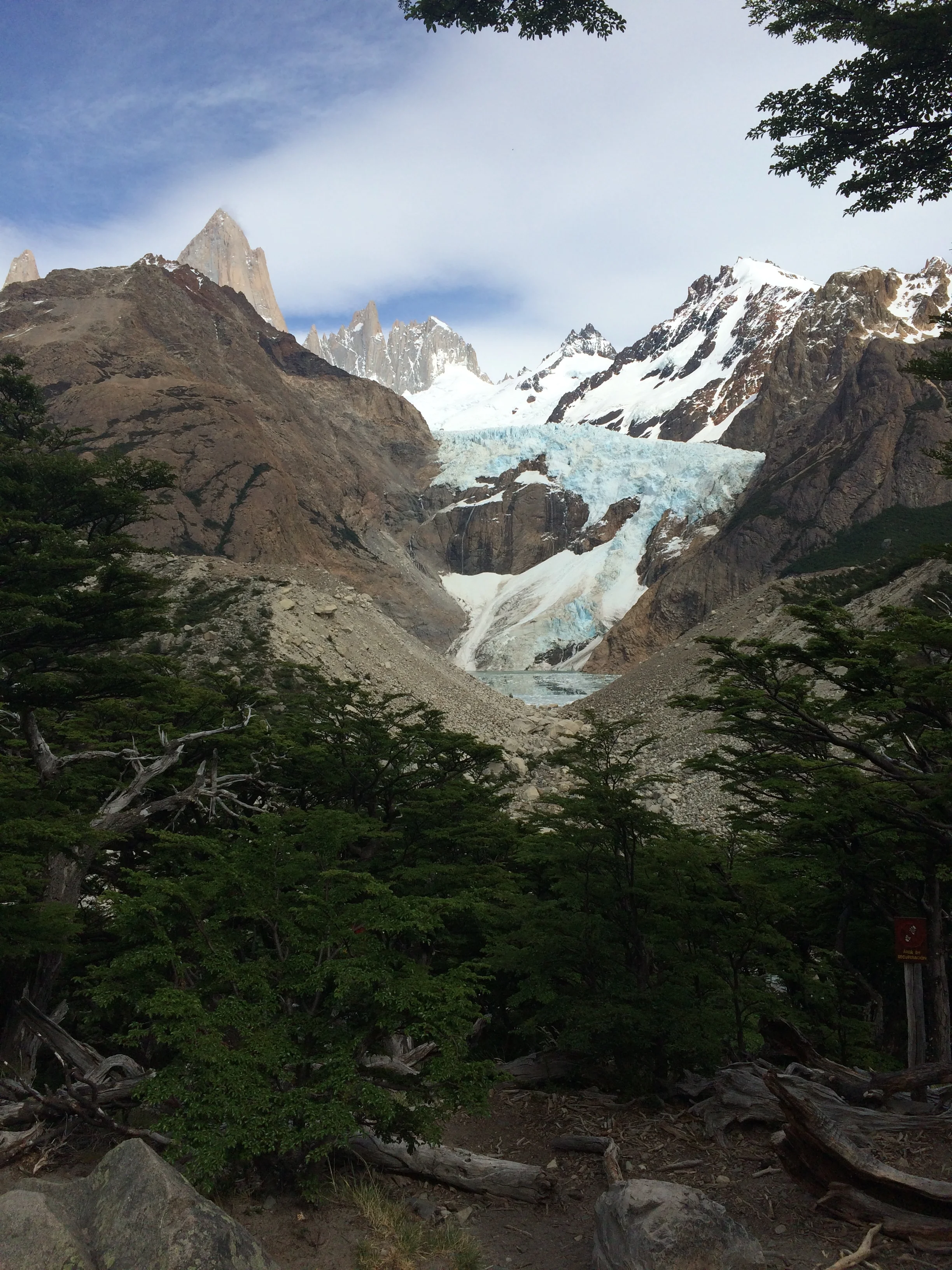
The back view of Fitz Roy and the Glacier

The trek down
The striking size, shape, and color of Fitz Roy was the constant that could be seen from almost all positions. On this trek we also crossed the smaller Glacier Piedras Blancas. We turned for home base passing Lake Capri and Camp Capri as we hiked in really weird flat lands to finally make it back to the city. This was a trek of 13 miles per the pedometer. At the end we were dog tired and thirsty but boy was it worth it!

Frank and Fitz Roy

Fitz Roy
We realized that we where pushing the limit of enjoyable trekking, so we decided to make our fourth trek a little more restrictive for one half day. We again motored 37 KM to the base of Lake Desierto. This was private land and we paid a fee to enter their land and climb to the top of their little mountain to see another glacier, Glaciar Huemul, and also Mt. Fitz Roy from a different view point. This was a shorter trek, but we had time limits so we really huffed and puffed to get to the top. At the top Janet thought it was one of the most beautiful scenes she had ever seen, Fitz Roy to the left, Huemul Glacier in bluish tint to the right, raging river in deep blue at the bottom of this scene, and the sunny bright sky overhead.

The view from the top
A challenging way up and down
It was great and I could appreciate her thoughts, as this commingled scene reminded me of “Delphi” in Greece, where the holy mystical Oracles resided, and I'm not sure which was most beautiful. Enjoy the photos.
We returned to town, again going over the most bumpy gravel road. We packed with the plan to be at the bus station by 7 am for our trip southward to Puerto Natales, the launching point to the most southern destination of our trip—National Park of Torres del Paine.